


We are now under 30 hours away from a significant winter storm impacting regions of the state that have so far had little snowfall. Winter Storm watches are currently being hoisted across eastern pa and just about all of south-central pa. This will be our largest winter storm of the season so far, given how many of us will be impacted by a significant amount of snow.
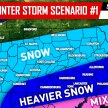
The trend over the last 24 hours with guidance has leaned pretty similar to our #1 scenario last night. However, guidance has trended wetter (snowier) and also a stronger system in general.
For areas across southern pa, it is possible that the precipitation does start off as rain Wednesday Night, but eventually will lead to a changeover to heavy snow.
Below is the 12z NAM run valid 1 AM Thursday Morning showing the brief onset of rain for southern pa, snow for areas farther north: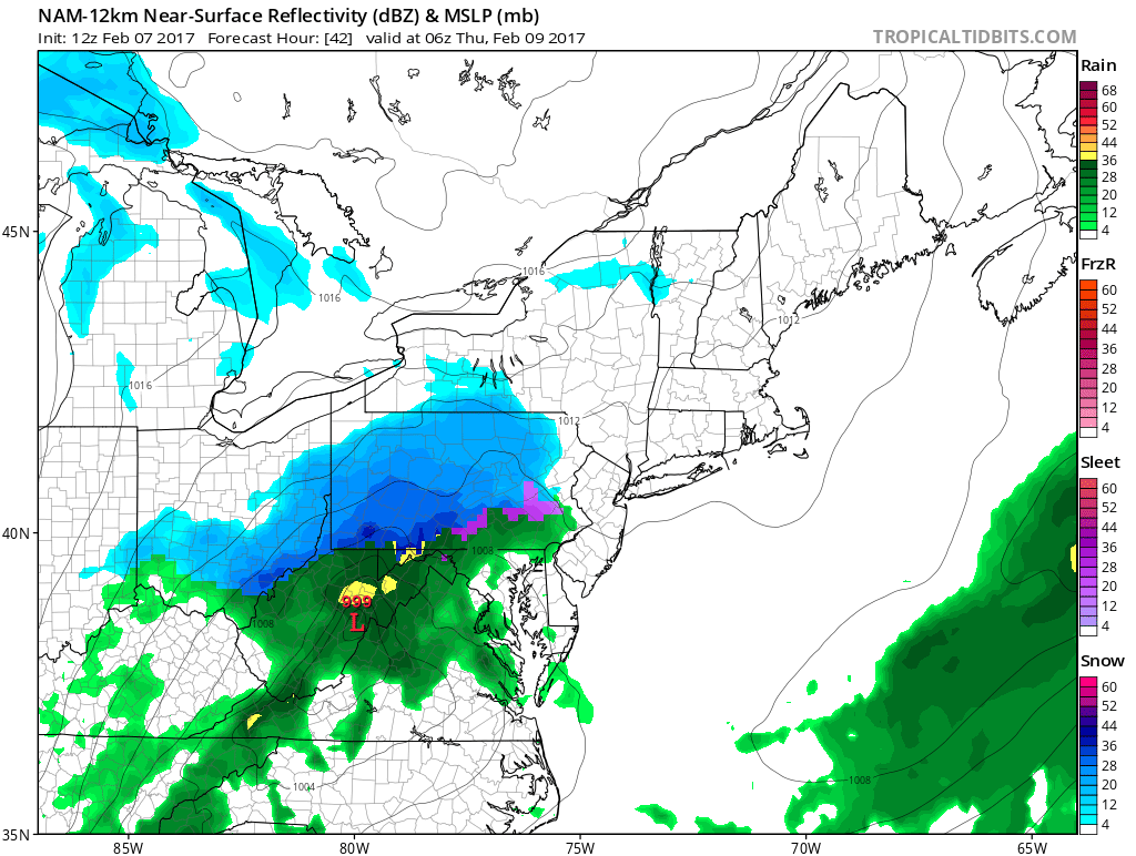
IF…the rain hangs on a bit longer than expected for these areas, then yes accumulations would be cut down. However, we are not expecting that. Advancing this model 3 hours later to 4 AM Thursday Morning shows a changeover to heavy wet snow: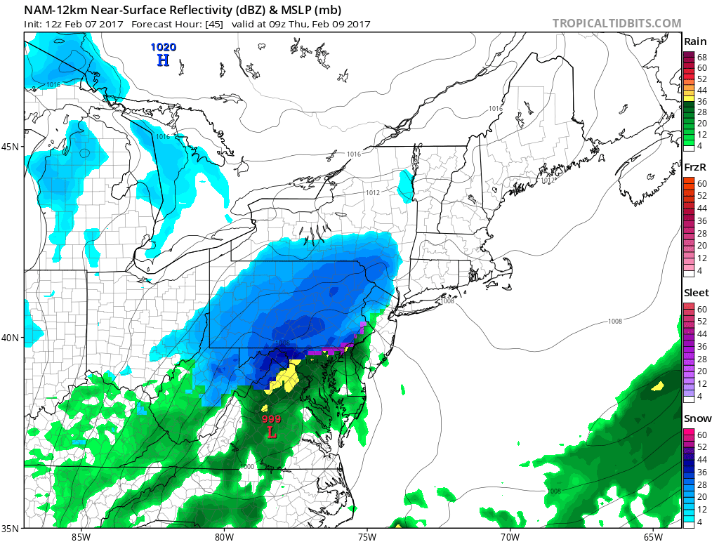
It is without a doubt in our minds, given the expected banding that will likely occur during the storm, areas across eastern pa have the potential of seeing a double digit snowfall. The only thing that might keep that from happening is the duration of the event. The storm’s duration is expected to be under 12 hours, so the snow will have to come down hard as guidance is suggesting.
FIRST CALL SNOW FORECAST BELOW
Timing: Snow and rain will begin as early as 8 PM across the southwest part of the state Tomorrow Night and will overspread central areas by midnight Thursday Morning. Snow will reach eastern areas likely by 2 AM. The snow will be heaviest between 2 AM and 6 AM for central and eastern pa. Snow will begin to taper by 7 AM Thursday for western pa, 10 AM for central pa, and 12 PM for eastern pa.
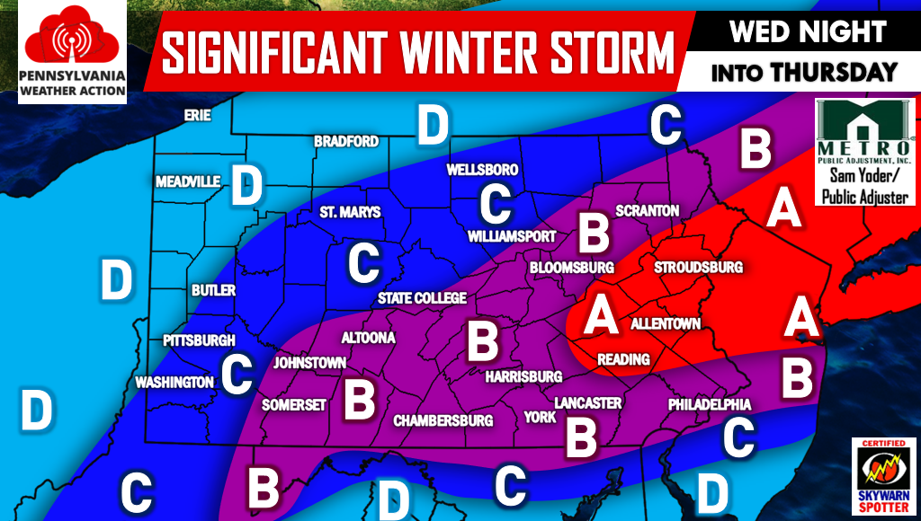
Below is our first call projected snow totals. Please not for many this will be a heavy wet snow. Scattered power outages are possible where snow accumulates the greatest due to the heavy weight on power lines and tree limbs. And because of timing, expect major travel delays during your morning commute on Thursday.
Area A – 7 to 11 inches of heavy snow. Major travel delays are expected for your Thursday morning commute. Scattered power outages are likely in this area.
Area B – 4 to 7 inches of heavy snow expected. Significant travel delays are expected for the morning commute Thursday. Scattered power outages are possible.
Area C – 2 to 4 inches of snowfall is expected. Moderate travel impacts are expected for your commute Thursday Morning. Leave yourself extra time.
Area D – 1 to 2 inches of snowfall is expected.
We will have our Final Call Snowfall Forecast out at 5 PM Tomorrow, stay tuned for that.
Be sure to like our page on Facebook for the latest regarding this impending significant Winter Storm>>>PA Weather Action on Facebook!
Also don’t forget to share the forecast using the icons below! Stay safe!

You must be logged in to post a comment.