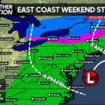
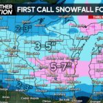
The Storm Prediction Center has been discussing this threat since Tuesday Morning, and now only being three days out it’s time for us to address it. As many of you know, we will now be posting the Storm Prediction Center’s Maps with their key. Along with that, we will be quoting several areas of their discussion.
With that said, we will also be including our thoughts about this event, so let’s get started. First of all, this will be a northwesterly flow type event. These events can be very interesting especially for Western and Central PA, where the SPC’s risk area currently sits. Damaging winds will be the greatest threat. Right now, we are leaning towards a strong line of thunderstorms forming over Lake Erie. If this occurs, they will then move over Northwest PA first, then the Pittsburgh area along with State College, then down into Southcentral PA in the Chambersburg and Harrisburg regions by the evening.
The majority of the line in a way will be a bow considering its motion. This once again is why we think damaging winds will be the main threat. The Storm Prediction Center does state there are some differences in the models as far as the overall area that will be threatened (which there is). That really becomes the case in Southern PA. However in Northwestern PA and even in the Pittsburgh region, we are confident there will be scattered severe storms.
Here is the area the Storm Prediction Center has labeled at risk for these severe storms. Keep in mind, veteran meteorologists came up with this map.

Thursday, the SPC will be issuing their Day 3 Outlook for this threat, which will be much more in-depth. Also, we will have more confidence in the general area at risk.
Share this weather update with family and friends!


You must be logged in to post a comment.