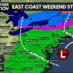
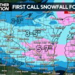
As models continue to move back and forth, there appear to be two clear scenarios for this storm. Although many people just want to know if they’re getting snow and how much, there’s much more to this situation than that.
By Monday the low pressure system will begin to organize in the Southcentral US, but what models are really struggling with is the driving factor for this storm which is a wave of energy in the Northcentral US. This factor will control whether the low pressure moves up into Western PA or through Southeast PA.
The first scenario would spread rain across much of the state with snow possible in far Northwest PA and a mix for the mountains. We are favoring this scenario majorly due to nearly all models shifting the storm west. Here is what this scenario would look like.

The second scenario is unlikely but still possible, because we all know how reliable the models have been five days out from a storm this winter. Also, there have been slight trends to the east among recent model runs. While we think there is room for models to shift east, the big questions appears to be just how far east?
In order for the second scenario to work out, the wave of energy in the Northcentral US needs to be much stronger than models indicate it, which would shift the jet stream and bring the storm up through the Carolina’s and into Philadelphia. Heavy snow would occur up and down the mountains of Central and Western PA with a mix in much of the state.

Once again, we are favoring Scenario #1 but still giving Scenario #2 a 35% chance of occurring. Stay tuned as the models continue to shift back and forth!
We will have many more updates regarding this storm over the next several days on our Facebook Page, don’t forget to give us a like!>>>>>>>Pennsylvania Weather Action Facebook Page!
– Josh Adams
Share this weather update with family and friends!


You must be logged in to post a comment.