Daytime heating beneath a large cut-off upper-level low over New England sparked some thunderstorms across New England and into New Jersey this afternoon. That upper-level low will slowly wobble away from our area by Tuesday. Meanwhile, widespread 90s baked the Plains into the Great Lakes and southwestern Pennsylvania today. As that upper-level low wobbles away, it will allow that extreme heat to work into our area by Wednesday. Enjoy! And for those of you looking for hints of the upcoming change of seasons, there was an unusually early snowfall in the higher elevations of the Sierra Nevada range in California over the weekend!
Monday evening’s visible satellite loop:
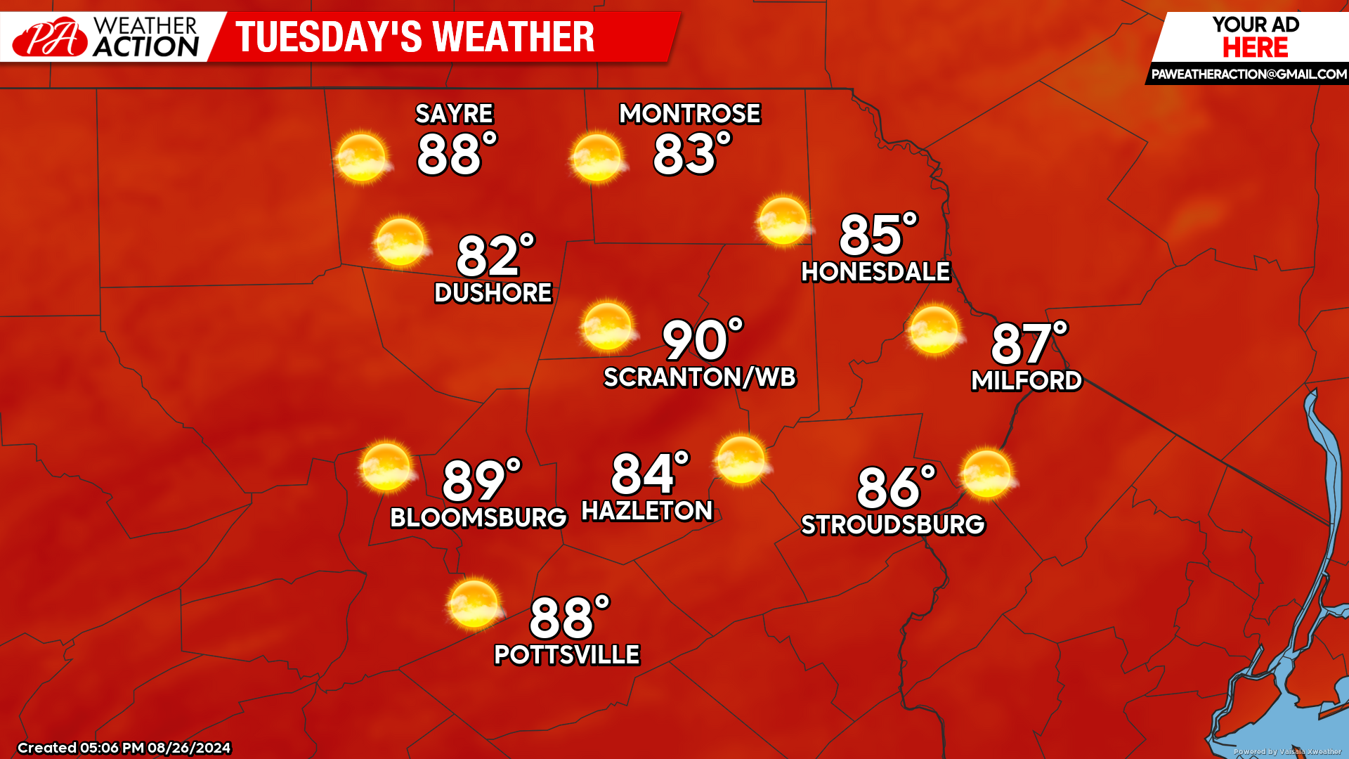
TUESDAY
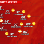
With the upper-level low out of the way, hotter air will spill into our region from the west. The valley cities could approach 90 F under ample sunshine! For those who love the dog days of summer, this will be the perfect day.
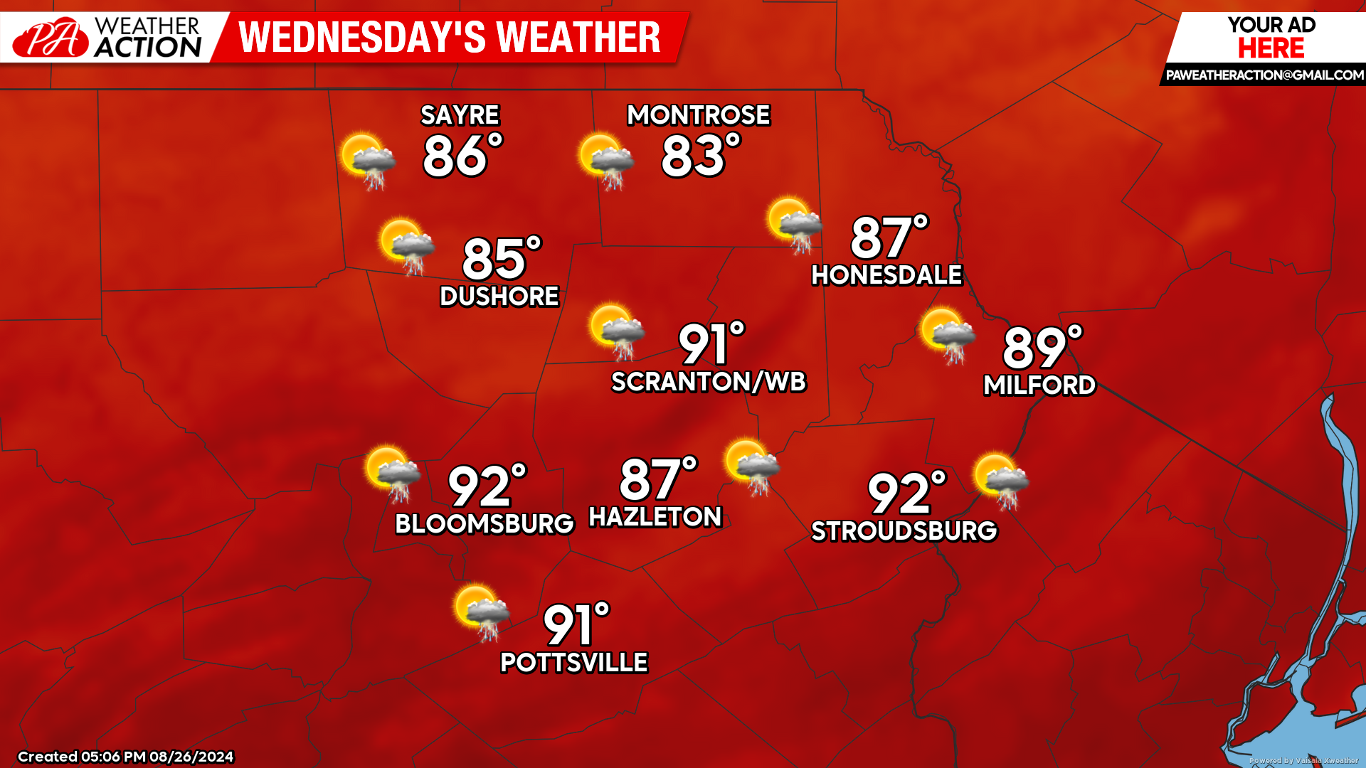
WEDNESDAY
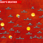
The full onslaught of heat and humidity will send our valley areas into the 90s! A cold front will be approaching, and thunderstorms could develop ahead of that front and impact our area. The heat and humidity will contribute to the instability, so some of the thunderstorms that form could be strong. Again, for those who enjoy the dog days of summer, this will be a great day, as September and inevitable autumn are just around the corner.
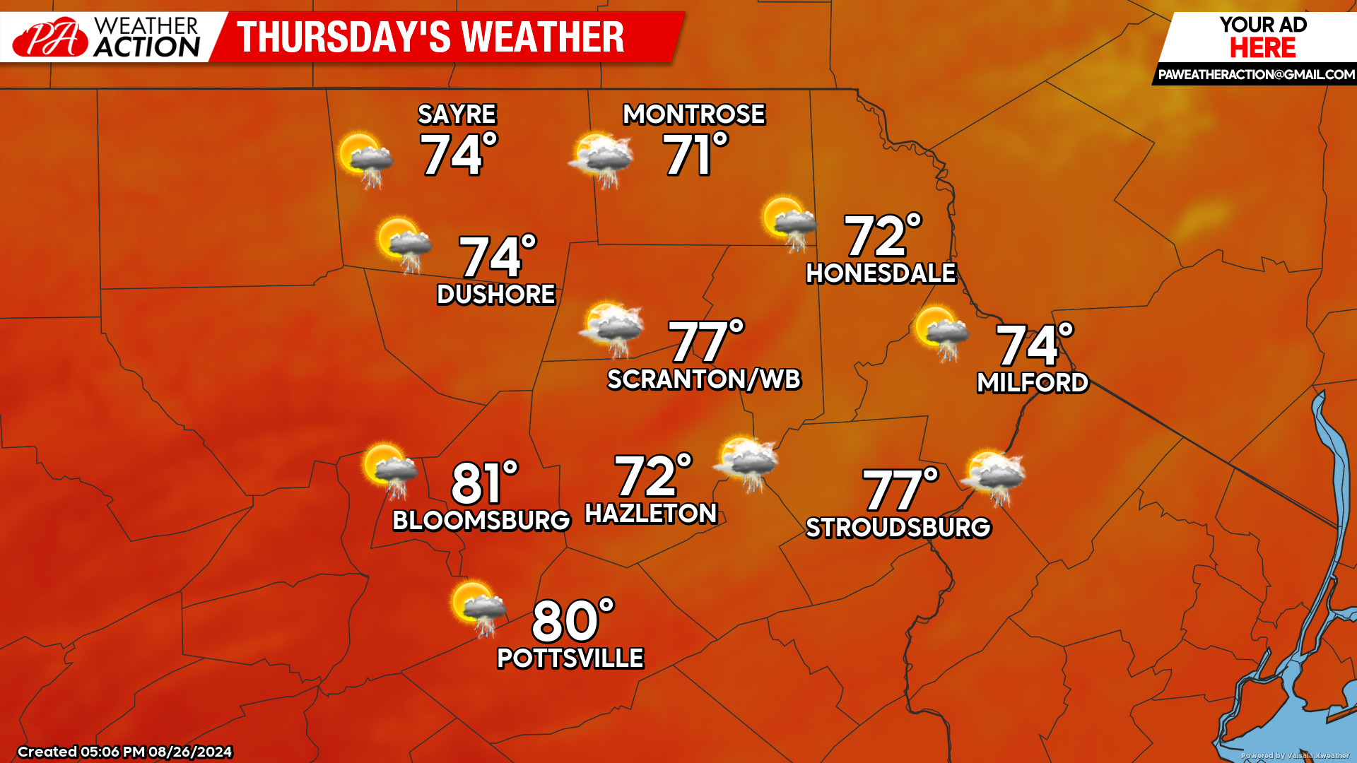
THURSDAY
The cold front will sag just south of our area, filtering cooler air southward into our area. An upper-level disturbance swinging through the region will maintain the opportunity for showers and thunderstorms.
BEYOND THURSDAY (Friday-Sunday August 30 – September 1)
Friday will be dry and cool in our area, courtesy of the Canadian air delivered by the earlier cold front. However, a disturbance rippling along that frontal zone will provide additional opportunity for precipitation late Friday night through predawn Sunday. At this time, Sunday daytime looks dry, with temperatures reaching into the mid-upper 70s in the mountains to the lower 80s in the valley cities. Cooler, drier, September-like air will arrive for Monday Labor Day (Sept 2).

You must be logged in to post a comment.