Friday’s widespread 2-4″ snow was followed by an arctic blast and the coldest air thus far this season over the weekend. As that arctic high settled over our area last night, the clear skies, light wind, and fresh snowfall made for perfect cooling conditions. Temperatures fell below zero across the region, with some places approaching -10 F this morning!
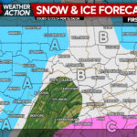
We are about to take a reprieve from the arctic chill, with normal temperatures later this week, and above-normal temperatures on the way for the weekend. A fast-moving system will pass to our north during the pre-dawn hours Tuesday, driving a cold front with a quick burst of 1-2″ across our area, entering our north3western counties shortly after midnight tonight, and exiting out southeastern counties by 8am Tuesday. Gusty southwest wind ahead of that cold front will prevent tonight’s temperatures from falling to last night’s cryogenic levels.
TUESDAY
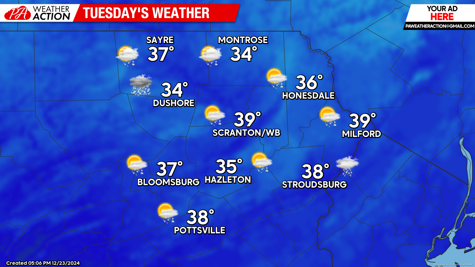
Morning snow will exit the region by 8am, leaving behind a general 1-2″ snow. Temperatures will finally climb above freezing for the first time since late last week, but there should be enough snow leftover for a White Christmas for most of the area.
CHRISTMAS DAY
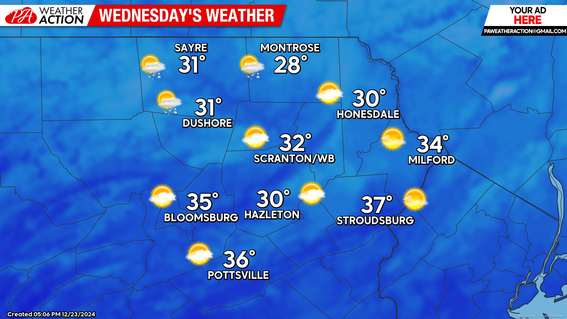
Tuesday’s system will deliver slightly cooler non-arctic air for Christmas day. Partly cloudy skies and dry conditions will prevail across the region, with a few snow showers possible in our northern counties. Most of the area should hold on to the snow cover for Christmas Day.
THURSDAY
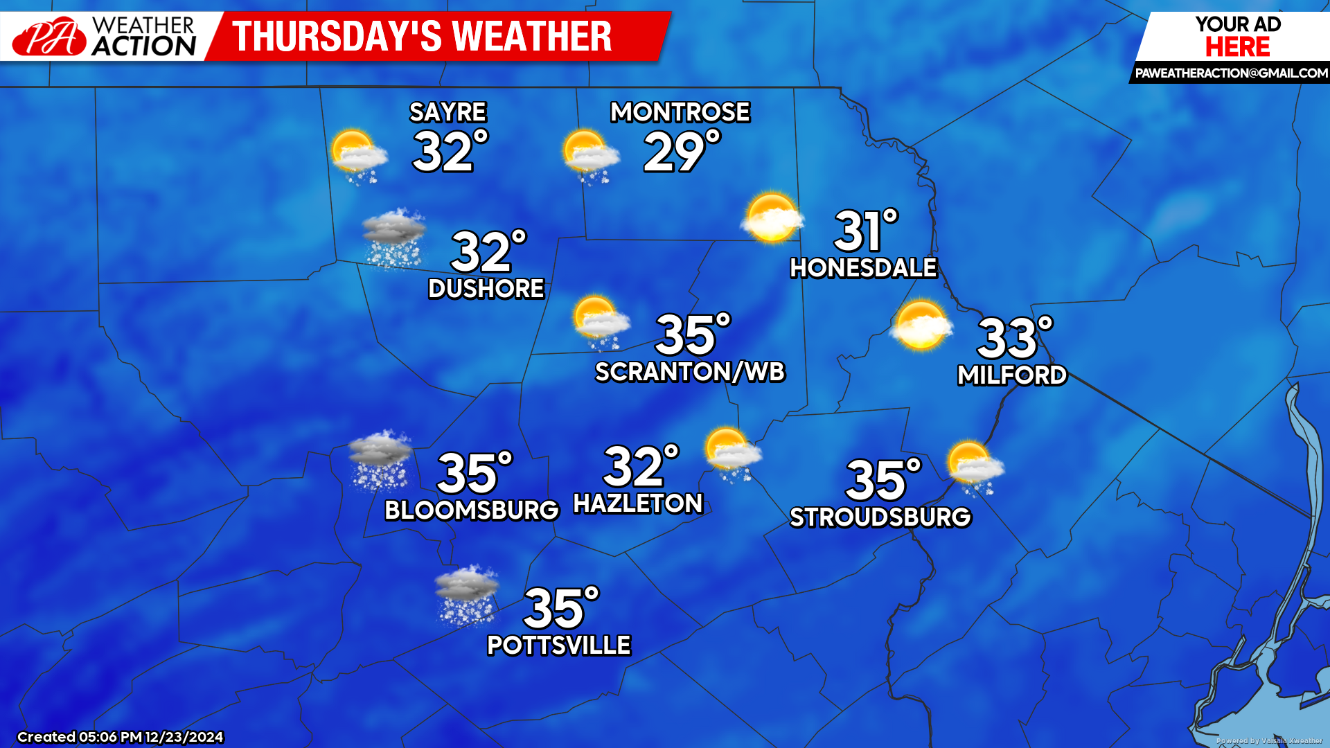
Thursday will be partly to mostly cloudy across the region with near-normal temperatures. A weak upper-level disturbancve will move across the region and could generate some snow showers, but little to no accumulation is anticipated as there is very little moisture.
BEYOND THURSDAY (Friday-Sunday December 27-December 29)
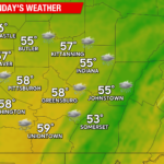
This period will feature a storm track to our west through the Great Lakes and up the St Lawrence Seaway, drawing above-normal temperatures northward into our area. High temperatures will reach into the low-mid 40s in the valleys and mid-upper 30s in the higher elevations. Friday into Saturday should be mostly dry, but there will be increasing opportunity for rain or mixed precipitation late in this period, primarily on Sunday.

You must be logged in to post a comment.