A surface high over New England induced a gentle onshore flow overnight, resulting in clouds and fog to start the day for parts of our area.
That area of high pressure will provide dry weather and above-normal temperatures through midweek. Temperatures will soar into the upper 80s in the valleys by midweek!
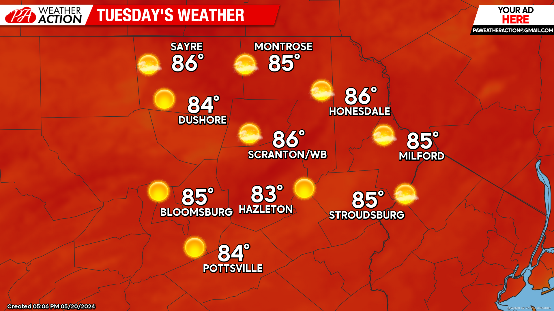
TUESDAY
Tuesday will dawn with similar conditions to this morning, with some clouds and areas of fog. Low temperatures tonight will be warmer than normal, featuring widespread 50s.
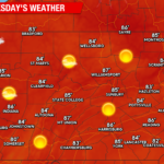
The patchy clouds and fog will clear into a sunny afternoon. Temperatures will soar well into the 80s in the valleys, and upper 70s in the higher elevations.
WEDNESDAY
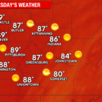
A southwest wind and ample sunshine will drive temperatures into the 80s for everyone. Some of the lower valleys will soar into the upper 80s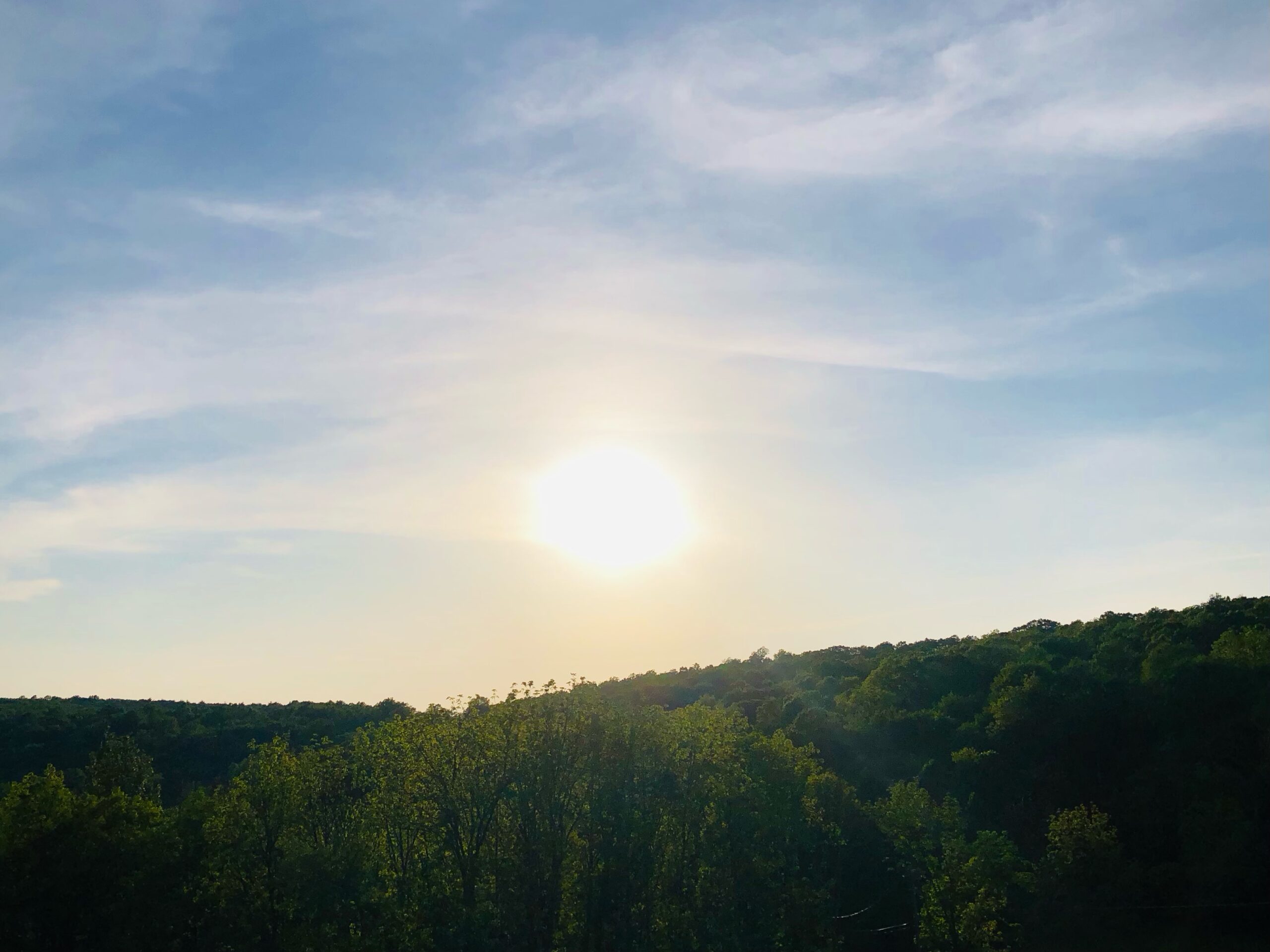 !
!
 !
! A cold front will move eastward through the Great Lakes on Wednesday. This will ignite thunderstorms that will move into western Pennsylvania and western New York during the afternoon. There is also the slight possibility a few thunderstorms could run far ahead of the approaching front and into our area later in the afternoon.
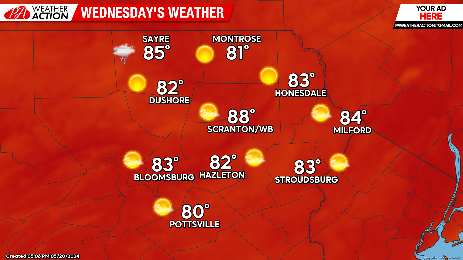
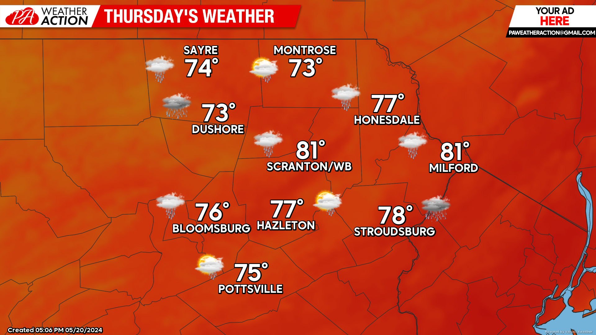
THURSDAY
That cold front will push eastward through our area during the afternoon, resulting in a good chance for showers and thunderstorms. This will prevent temperatures from reaching quite as high as Wednesday’s temperatures.
BEYOND THURSDAY
While cooler than the next few days, temperatures behind the cold front will continue to be warmer than normal through Memorial Day.
That frontal zone will be stalled east-west through the Virginias, providing persistent showers to those areas. Thankfully, our area will be well north of the front so it should be dry Friday and Saturday .
Unfortunately, an upper-level trough will approach our area from the Ohio Valley later in the weekend. Thus, there will be an increasing chance for showers in our area Sunday and especially Monday.

You must be logged in to post a comment.