After yesterday’s system provided a nice winter wonderland across much of the state, another storm system is it right on its heels! This time in the form of rain, below is a look at the latest radar:
Today’s Weather Forecast: 6/10
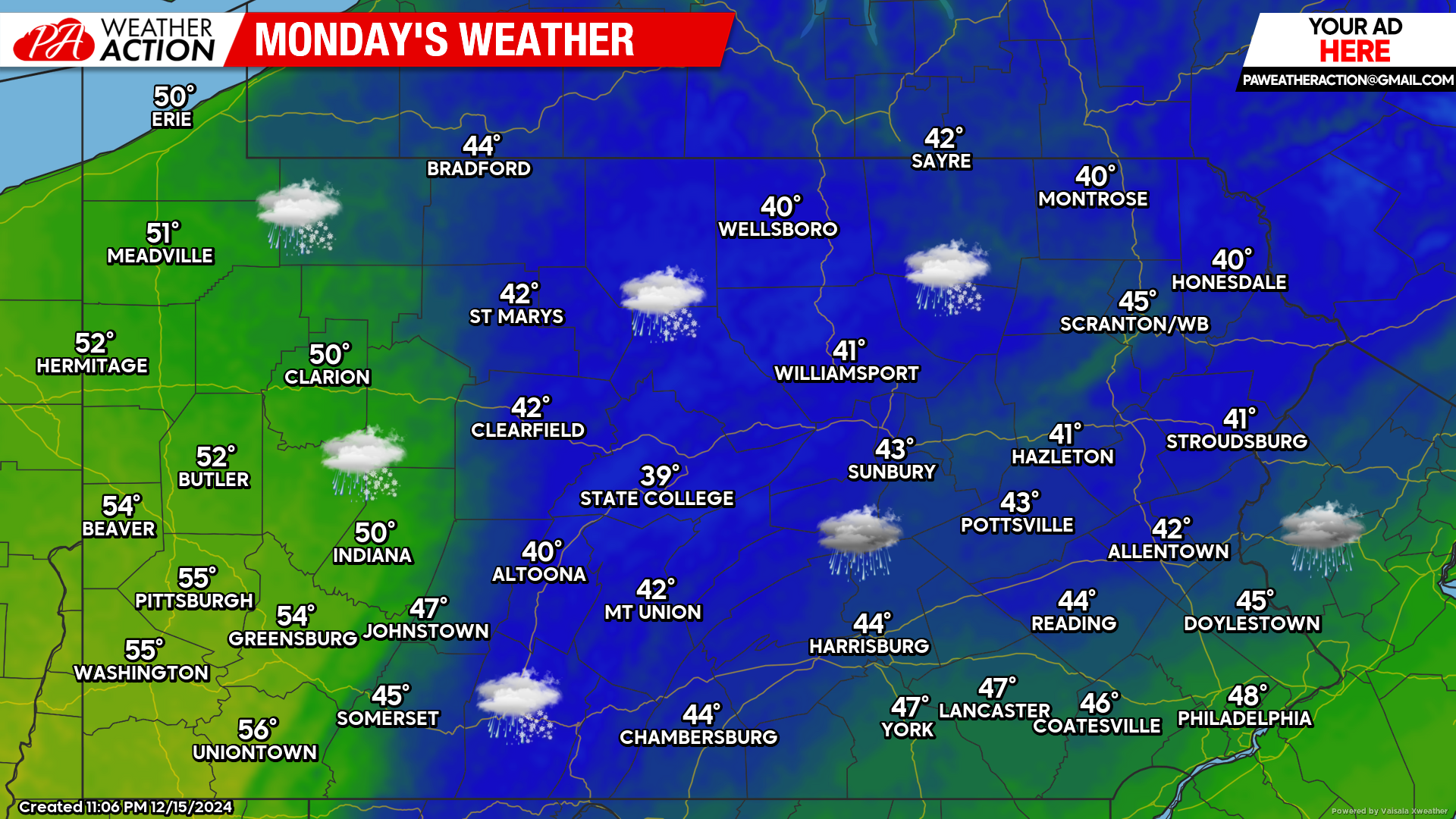
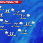
Afternoon showers will increase west to east later today and the rain will linger into the nighttime hours. Temperatures will be warmer with highs reaching the 40s and 50s across the state.
Tuesday’s Weather Forecast: 9/10
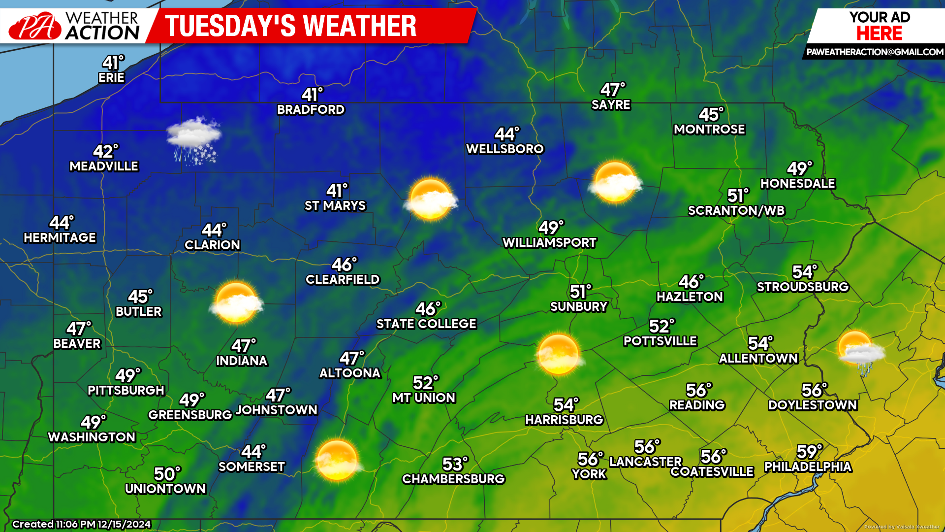
Tuesday will feature calm conditions with mild temperatures. Highs will range in the 40s and 50s state-wide with plenty of sunshine to go around!
Wednesday’s Weather Forecast: 5/10
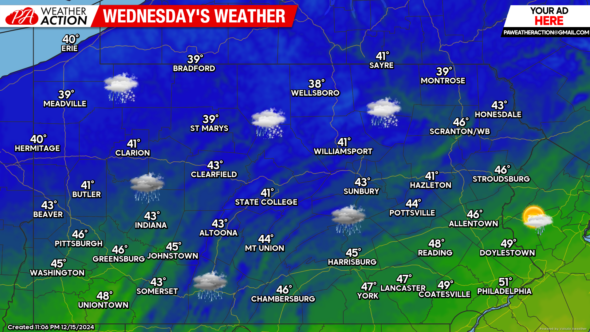
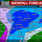
Don’t blink too quickly, the next storm system arrives during the second half of Wednesday. This time, a wintry mix is expected across northern Pennsylvania, while areas generally south of I-80 should remain mostly rain from this system.
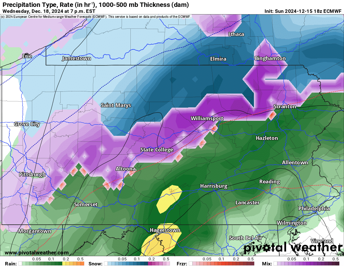
European Weather Model Valid for 7:00 PM Wednesday:
As of right now, the best chance for any accumulation snow and/or sleet will be across northern Pennsylvania. The European model currently illustrates this very well. While areas south of I-80 appear to be mainly rain from this storm system, there is still plenty of time for things to change. Stay tuned!

You must be logged in to post a comment.