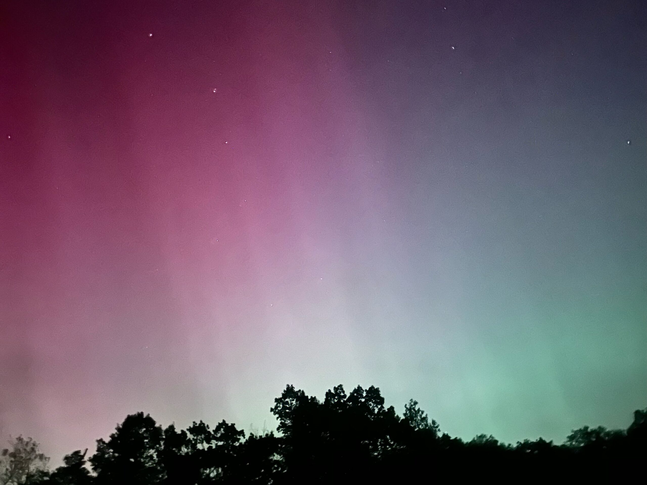
A large mass of solar particles ejected from the sun’s corona during last week’s series of powerful solar flares impacted the Earth’s atmosphere Friday night into Saturday, sparking the most-spectacular display of northern lights in two decades. Clouds finally cleared in our area during the pre-dawn hours Saturday, allowing a short window of time to view the aurora.
For those of you who missed the spectacle, auroras are not static lights in the sky. There is a lot of movement as the solar wind and the magnetic field associated with the mass of solar particles buffets the Earth’s magnetic field.
This week’s weather will once again feature clouds and showers. An upper-level low currently over Nebraska will slowly roll eastward into Illinois Tuesday and crawl off the Mid-Atlantic coast Wednesday evening into Thursday.
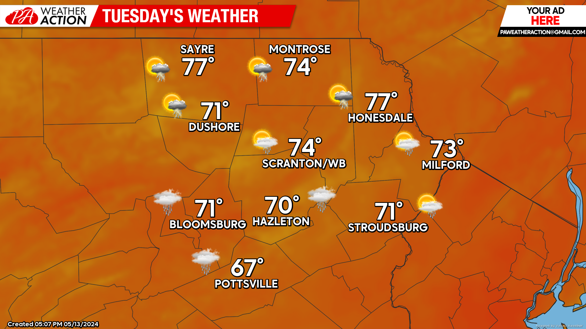
TUESDAY
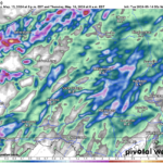
The aforementioned upper-level low will move into Illinois. Its large size will dominate the weather in the Mississippi River and Ohio Valley, rotating a band of showers into our area from the southwest during the afternoon after morning sunshine.
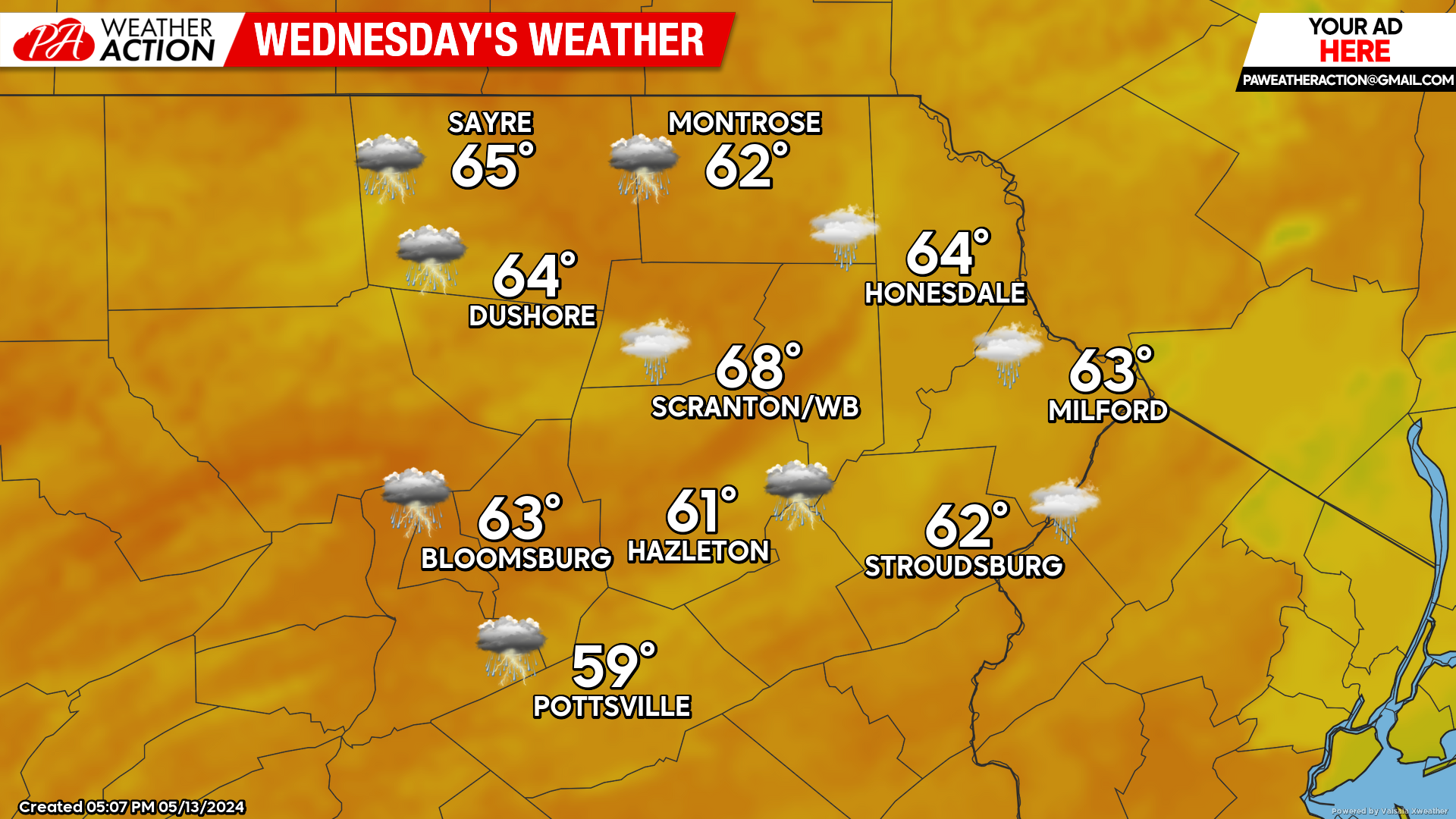
WEDNESDAY
That system will move across the Mid-Atlantic, spreading showers over our area much of the day. Showers will subside overnight Wednesday night as that system crawls into the Atlantic.
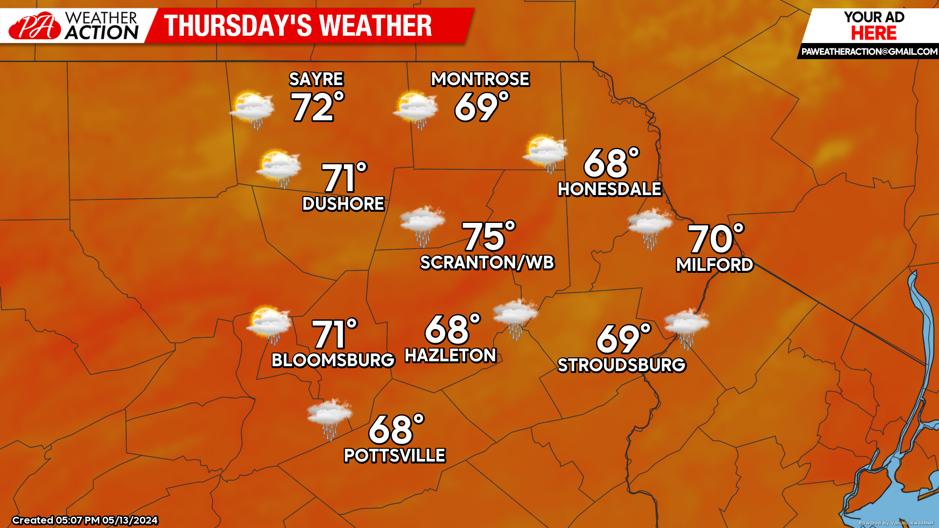
THURSDAY
Thursday will feature clouds and perhaps residual light showers during the morning. There should be some clearing in the western counties during the afternoon.
However, the system responsible for Wednesday’s rain will slow and possibly stall off the Atlantic Coast which could prolong clouds and misty precipitation longer in the day for the eastern part of our area.
BEYOND THURSDAY (FRI-SUN May 17-19)
That offshore low will continue to slowly drift east, which could prolong the clouds in the eastern part of our area along with the slight chance of light showers. Unfortunately, for those hoping for a dry weekend, a more-widespread area of rain will affect our area on Saturday and Sunday.


You must be logged in to post a comment.