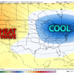
Good morning everyone, after a very busy storm season with lots of tornadoes, large hail and significant wind events, we are starting the transition into more of a Summer storm pattern after this weekend.
Sunday’s Severe Weather Outlook
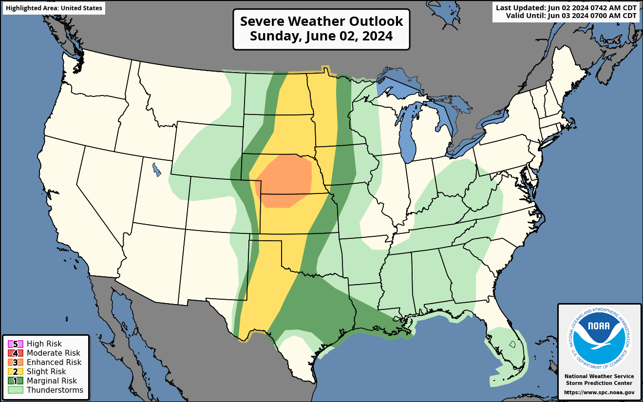
An enhanced severe risk today for the Central Plains. Scattered severe storms are expected today in NE and Northern KS. A cold front will move through the plains bringing large hail in 2 to 3 inch diameter, damaging winds with 60 to 80 mph and a couple of tornadoes. Please see SPC threat map.
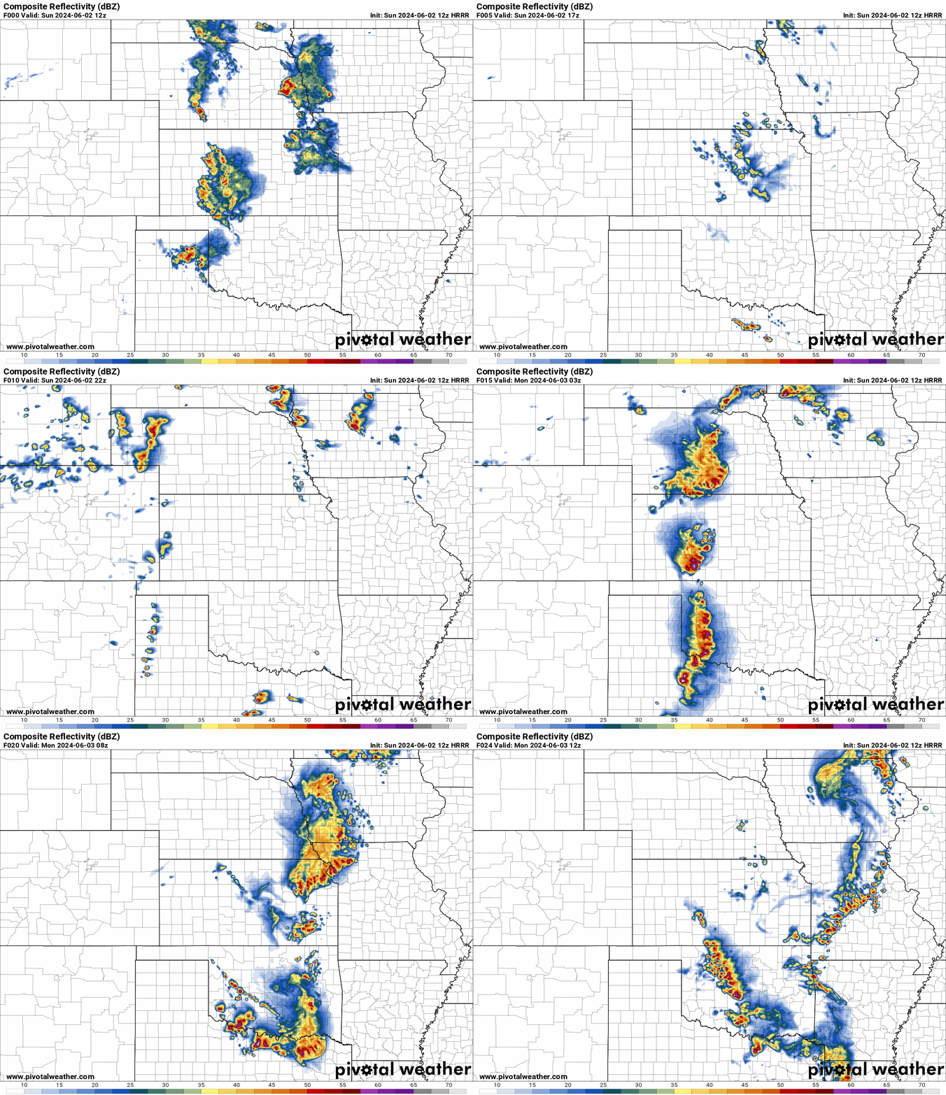
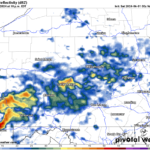
HRRR Future Radar Loop for Sunday
A line of scattered storms will start to form in the Plains this afternoon and evening. This will bring very large hail, damaging winds and a couple of tornadoes to the Central Plains. A slight risk is from the Dakotas to TX for this afternoon, evening and overnight into early morning as the front moves East.
HRRR Helicity Tracks for Sunday
A swath of very large hail, damaging winds and a couple of tornadoes in these helicity tracks across the Plains for Sunday. This will move through the Plains most of the evening and overnight as it moves East.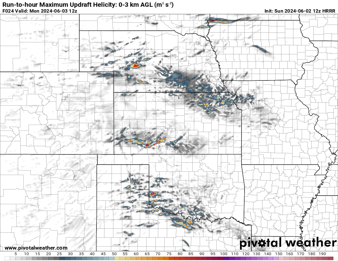
Severe Weather Outlook for Monday
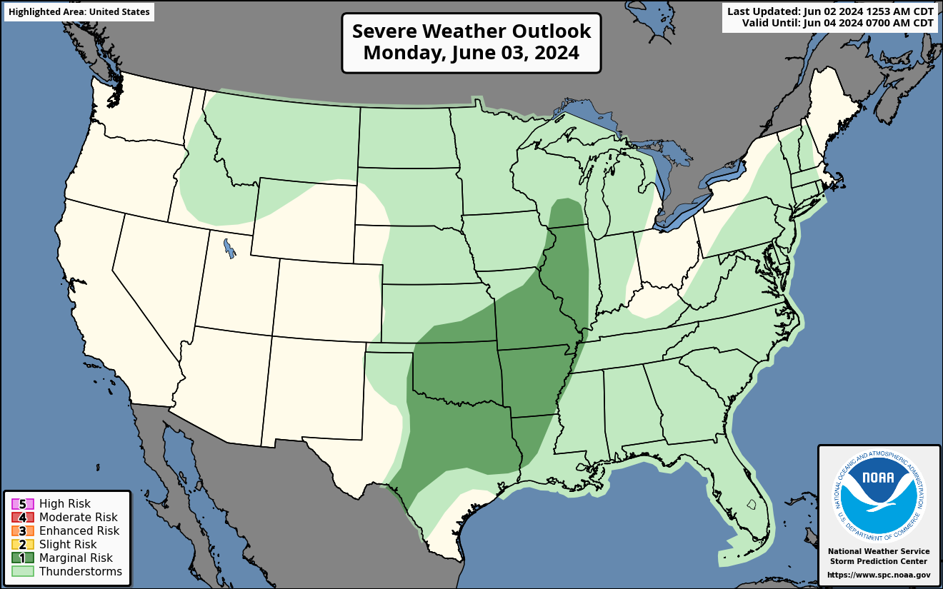
A marginal risk for severe weather is expected for Missouri, Mississippi Valleys and the Ozark Plateau on Monday as the cold front moves East.
Isolated strong to severe storms are possible on Monday for the Southern Plains, MO/MS River Valleys and the Ozarks. This could bring some large hail, damaging winds with a low chance of tornadoes. Please see SPC risk map.
Severe Weather Outlook for Tuesday
A marginal risk for severe storms in the Upper Midwest on Tuesday. A system will move into the Upper Midwest on Tuesday. A isolated Chan d of strong to severe storms are possible with some hail, strong winds and a very low risk of tornadoes. Please see SPC risk map.
Please stay tuned for any new updates of severe weather the rest of the week.


You must be logged in to post a comment.