The Canadian surface high that provided a refreshingly cool weekend has moved offshore. Today was just a preamble for the heat as that surface high is now pumping hot and humid air northward through the Mississippi River Valley and into New England and our area. Today (Monday) will likely be the ‘coolest’ day of this work week. That heat will maintain control through at least the end of the week and likely into the weekend.
Strong storms are currently (Thursday evening) encroaching on our area from the west. These storms should rapidly collapse after the sun sets, but some of our western counties (Bradford and Sullivan) could get a good downpour this evening.
TUESDAY
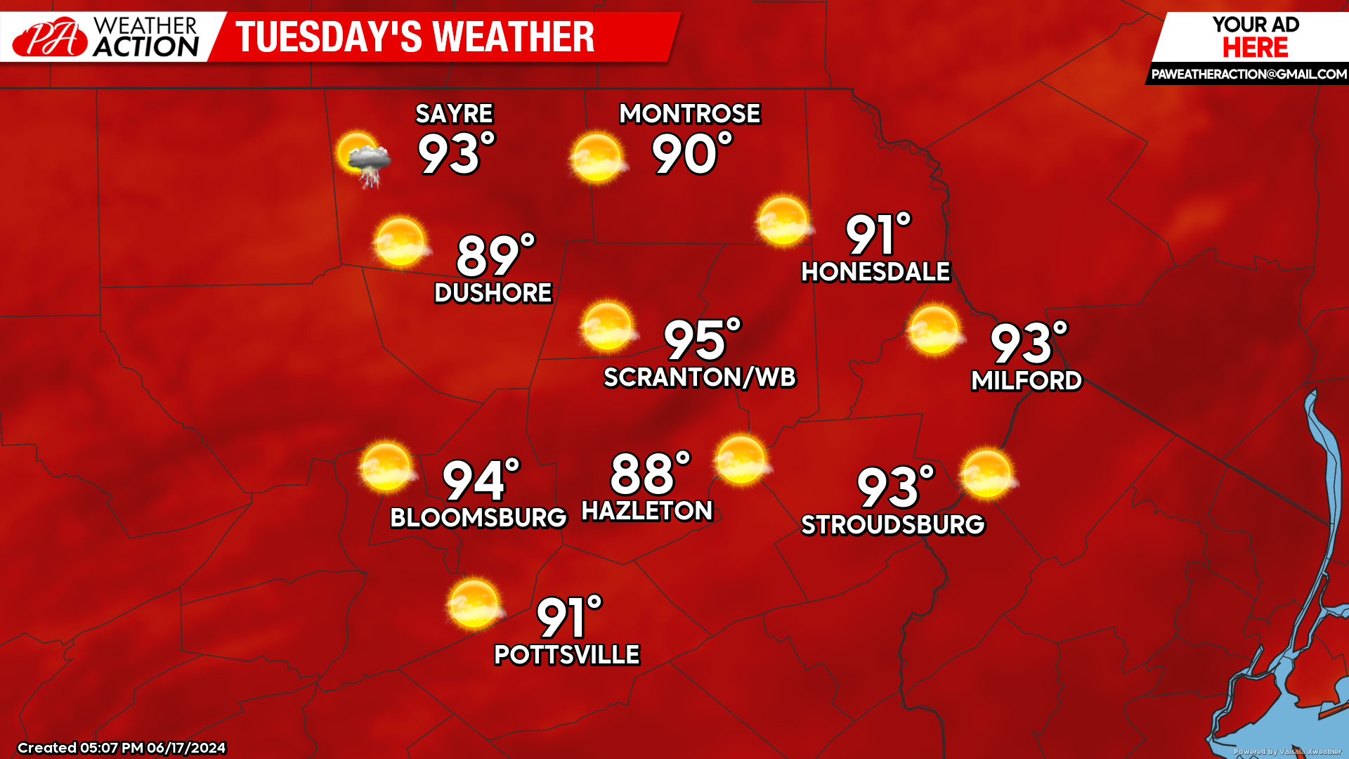
The hot and humid weather will increase. Most locations will reach into the lower 90s, along with increasing humidity. There will be the opportunity for an isolated thunderstorm, but most locations will be rain-free.

WEDNESDAY
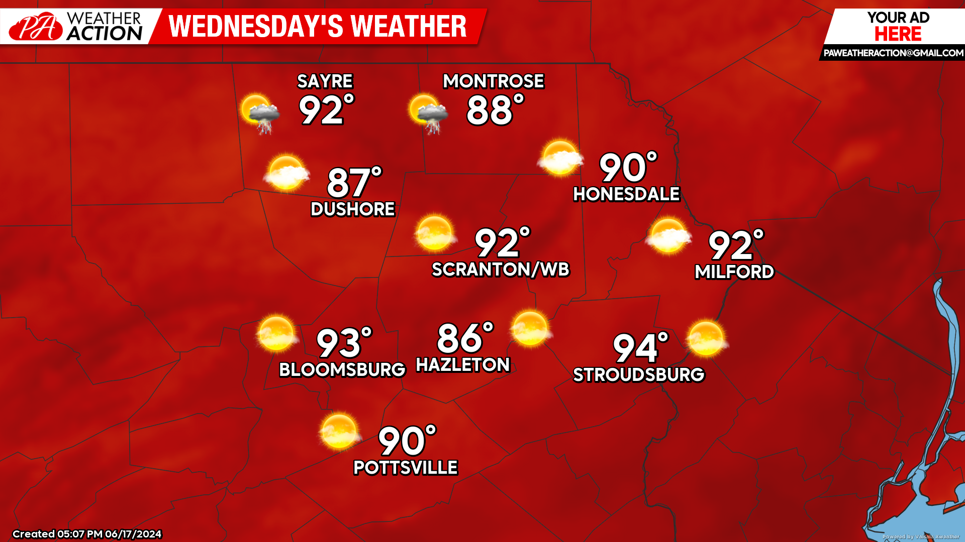
Heat and humidity will increase further with some locations reaching into the middle 90s! There is also the slight chance of an isolated thunderstorm, but consider yourself lucky if you get one.

THURSDAY
Tropical air will continue to be pumped northward through the Mississippi River Valley and eastward into the Northeast and Mid-Atlantic. In our area, most of us will endure temperatures in the low-mid 90s along with dewpoints in the upper 60s. While the highest elevations might enjoy upper 80s, some of the urban valleys could climb into the upper 90s!

BEYOND THURSDAY
The hot and humid weather will continue Friday through the weekend, albeit with slightly lower temperatures. There will also be an increased opportunity for showers and thunderstorms Friday through Sunday.


You must be logged in to post a comment.