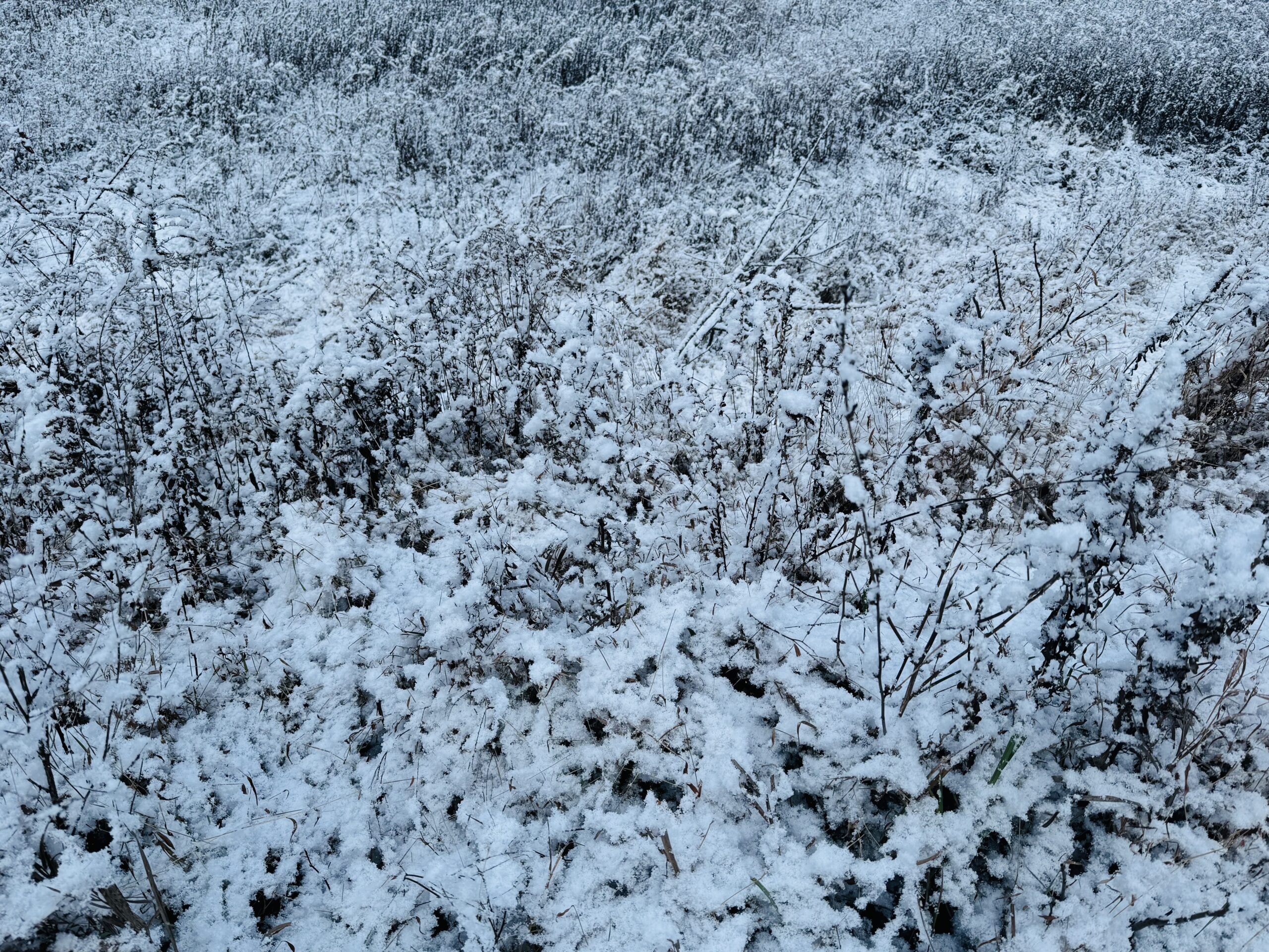
Wednesday’s system delivered 1-2″ rain to the region and ended with a slight covering of snow in the higher elevations Wednesday evening. As that system continued to strengthen over eastern Canada today, a sprawling surface high pushed toward our area. The pressure difference between those two systems generated strong wind gusts of 40-50 mph across the region today, resulting in scattered power outages.
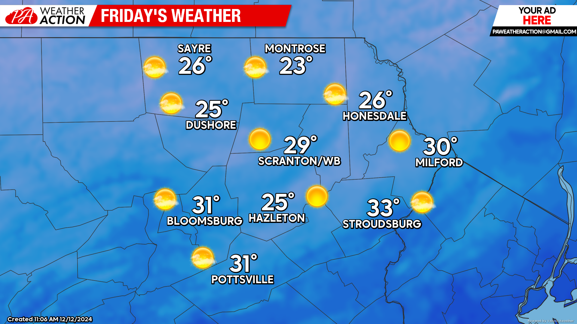
FRIDAY
The surface high will move over our area tonight, resulting in subsiding wind. Temperatures will fall into the teens regionwide by Friday morning.
Despite ample sunshine, temperatures will fail to climb out of the 20s for everyone except the southern valleys. Temperatures will quickly fall into the teens after sunset. Also of note, the Geminid meteor shower peaks this weekend, and normally produces a generous supply of bright colorful meteors. Unfortunately the brightness of the almost-full moon will interfere, but at least the sky will be clear!
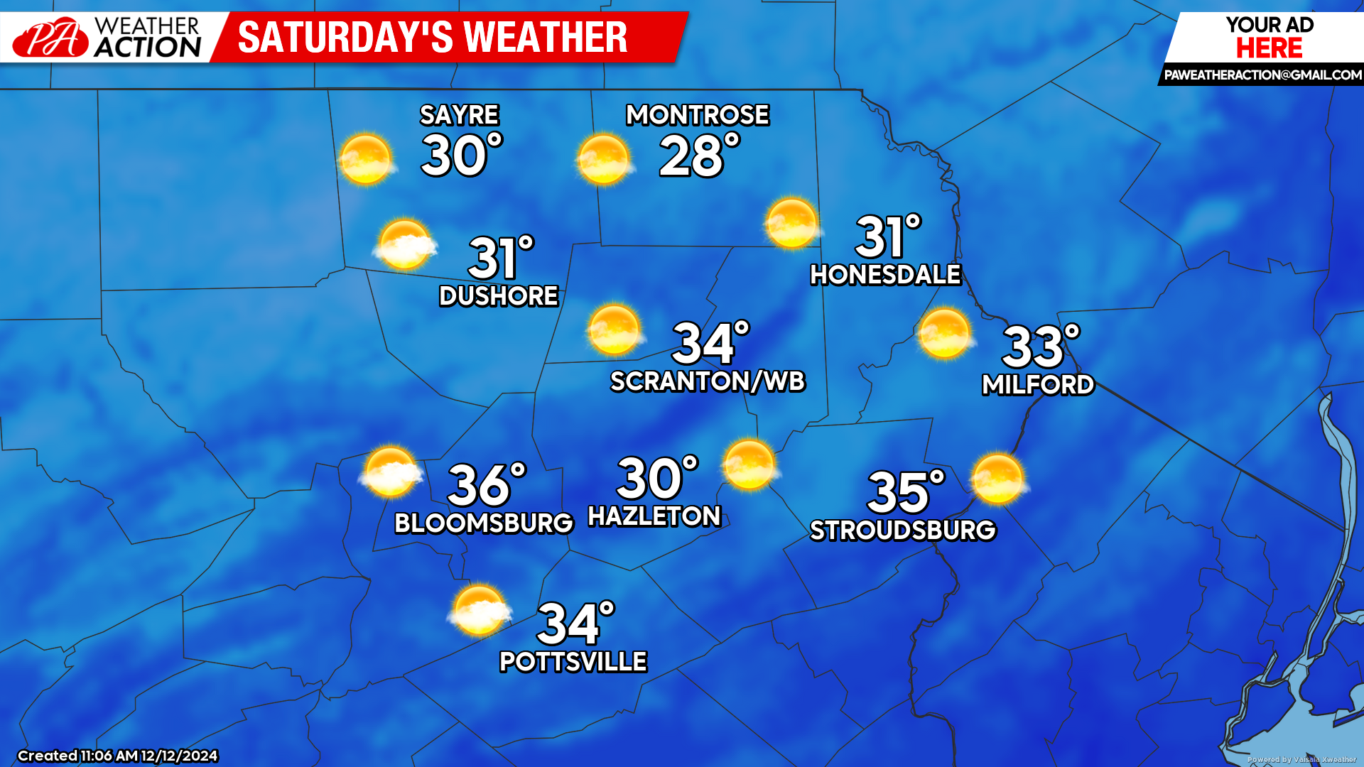
SATURDAY
After a brisk start with widespread teens, another day of blazing sunshine will boost temperatures into the upper 20s to mid 30s across the region, which is slightly below normal for this time of year. Clouds will attempt to encroach upon our western counties Saturday night, but there should still be clear skies for viewing Geminids Saturday evening. The full moon occurs Sunday morning at 4:02 AM. and will be the northernmost full moon of the year, and therefor rising to the highest point in the sky of any of this year’s full moons.
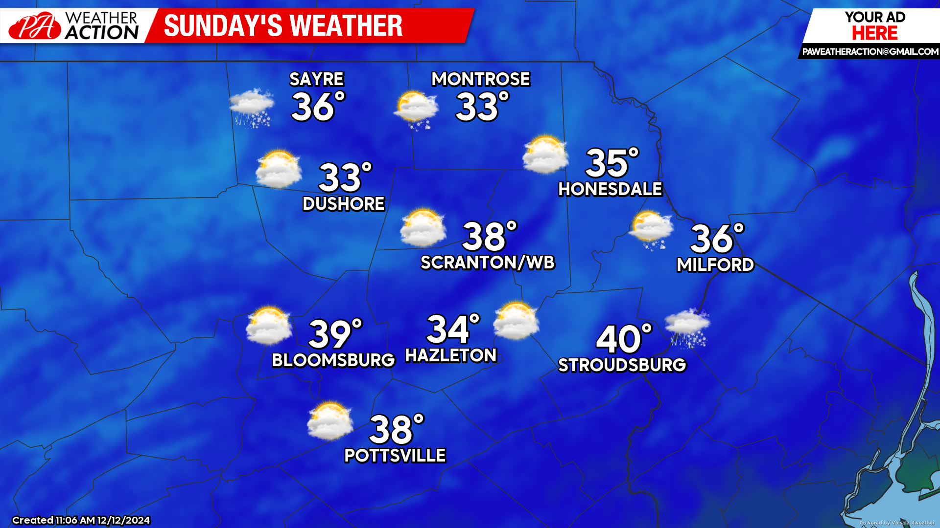
SUNDAY
Sunday morning will start with widespread teens. A system approaching from the Ohio Valley will spread clouds across our area on Sunday, with mixed precipitation arriving late in the day in our western counties, and the rest of the region Sunday night. South wind ahead of that approaching system will edge temperatures to slightly above normal levels.


You must be logged in to post a comment.