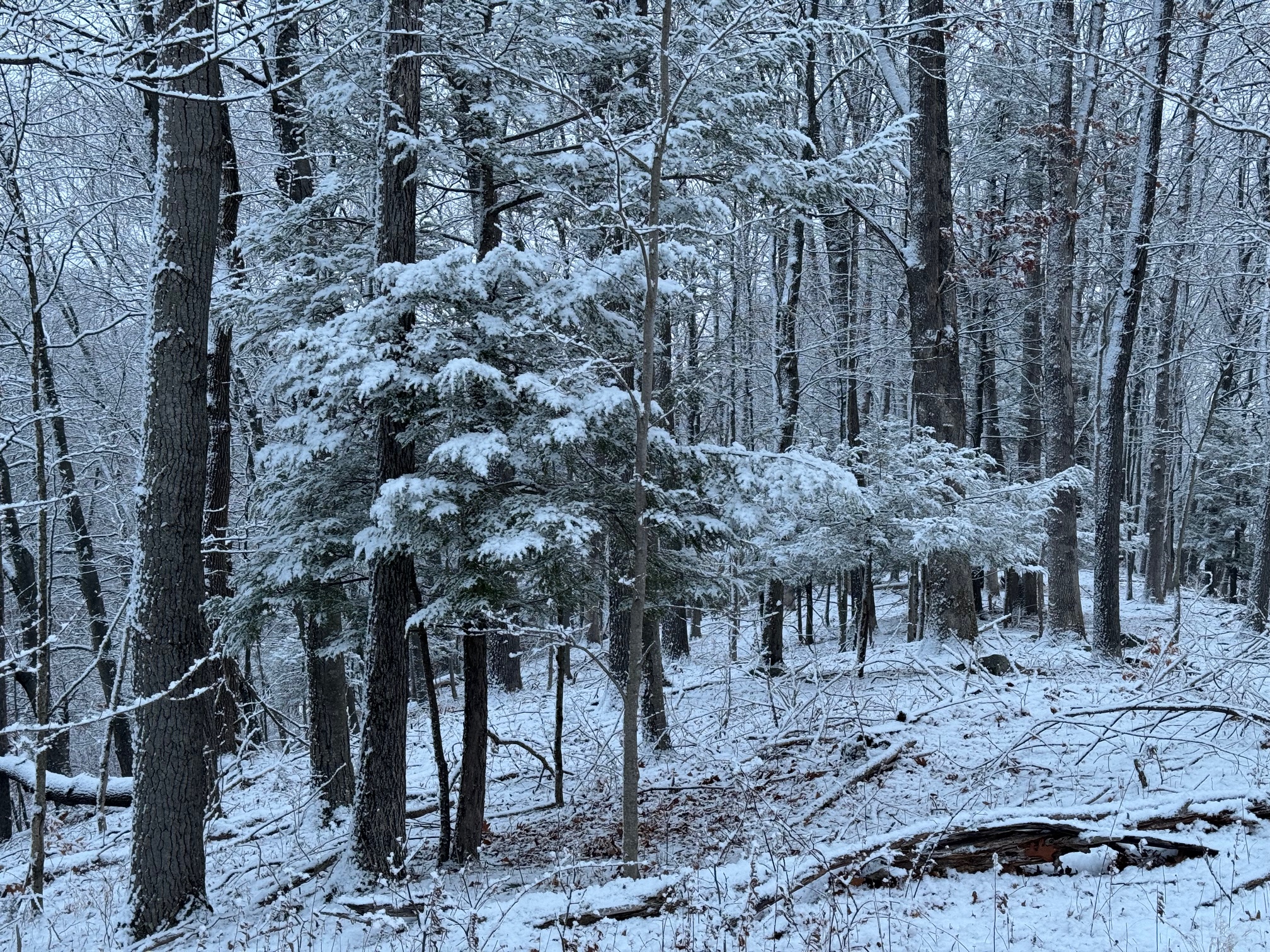
A strong moisture-starved system passed eastward through New York and into New England today. This system generated brief snow squalls this morning which deposited 1-4″ of low-density snow to the region. The system’s cold front cross late this morning, followed by wind gusts over 40 mph that left thousands of people without power. Those gusty winds will slowly subside overnight into Friday, but will still be quite blustery.
FRIDAY
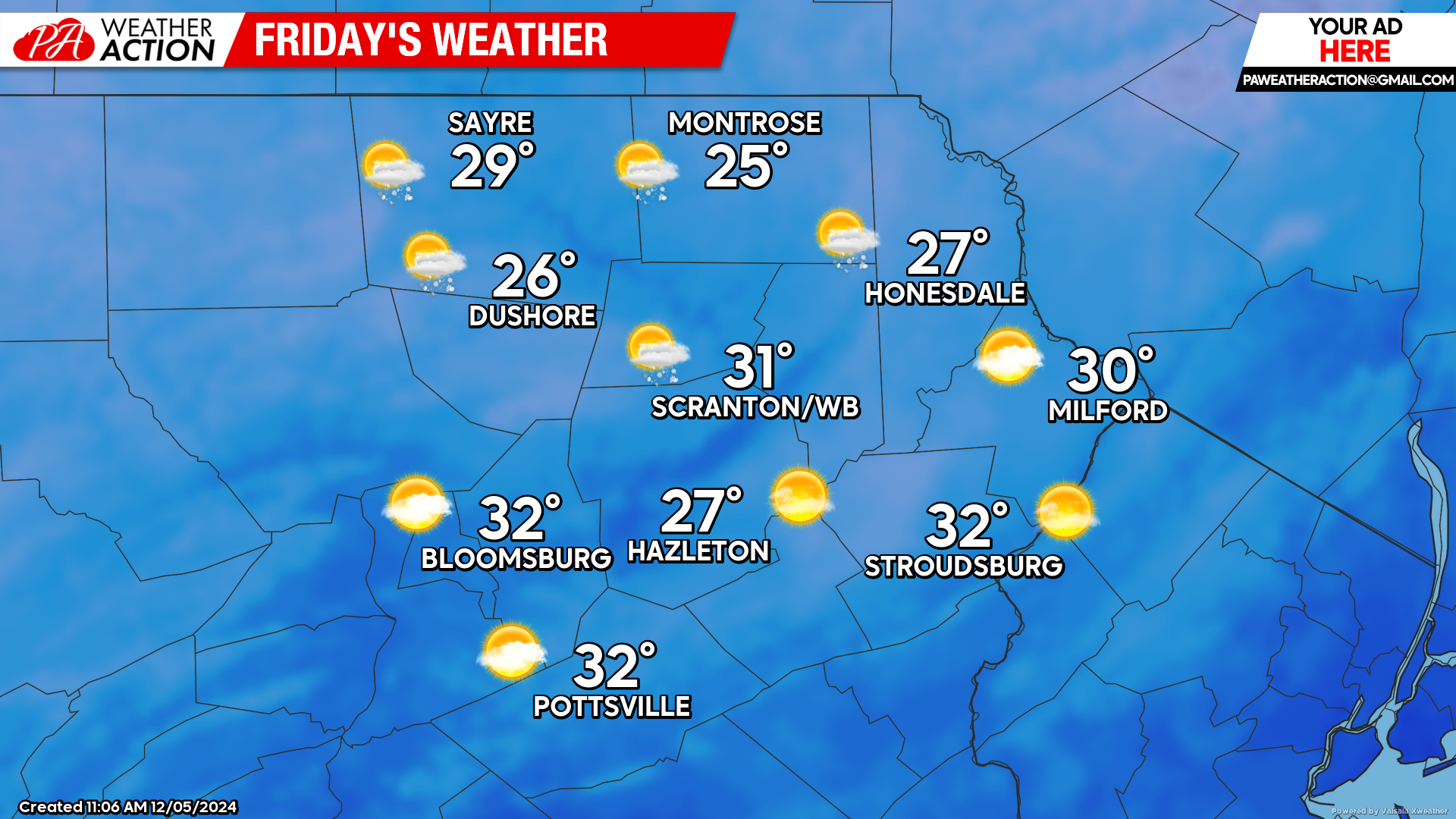
That storm system over New England will slowly crawl eastward toward the Canadian Maritimes. Thus, blustery conditions will continue with wind gusts of 30 mph. Temperatures will start in the teens, and only climb into the 20s for the higher elevations, and the low 30s in our southern valleys. Lake-effect snow showers will survive into our northern counties, and some of the luckier spots will enjoy a fresh coating of snow. Temperatures will drop into the teens Friday night into Saturday morning.
SATURDAY
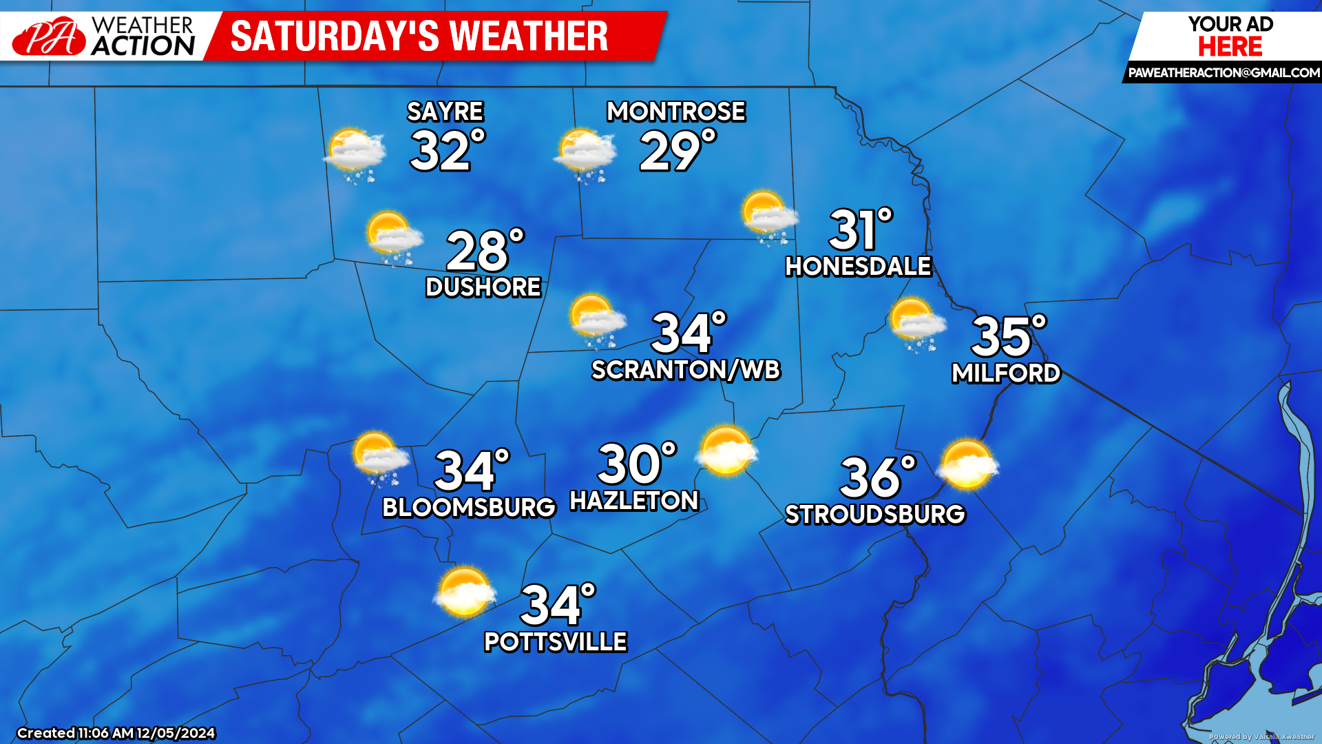
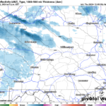
Morning temperatures will be in the teens across the region. A sprawling area of high pressure over the Plains will push eastward over the Southeast US on Saturday. Being on the northern fringe of that surface high, breezy conditions will continue, with gusts generally around 20 mph. A moisture-starved system will move eastward through the northern Great Lakes on Saturday and into New England on Sunday. This will bring clouds and perhaps snow showers across our area Saturday night. This will also hold temperatures in the 20s Saturday night into Sunday morning.
SUNDAY
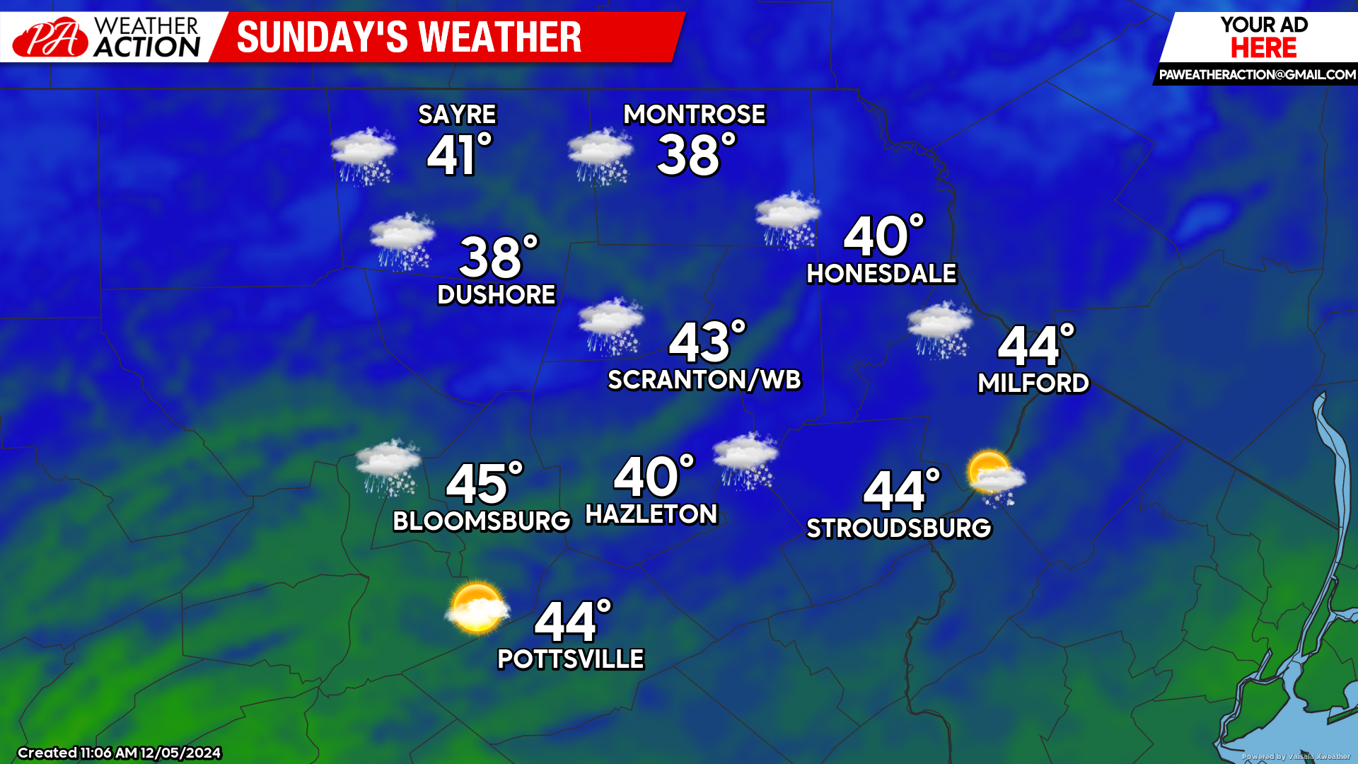
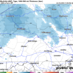
As that system departs into New England, it will drag milder air into our region. There could be some leftover snow showers during the morning, although most of the day will be partly cloudy and dry. Another approaching system could bring precipitation to our area Sunday night into Monday.
BEYOND SUNDAY (Mon-Fri Dec 9-13)
Cold air will dig into the Plains early in the week as above-normal temperatures are pushed northward into our area. Monday through Wednesday are expected to be warmer than normal along with the potential for a couple days of soaking rain. The below-normal temperatures in the Plains should shift eastward and over our area for the latter half of the week.

You must be logged in to post a comment.