We are now less than 24 hours away from southern Pennsylvania’s first widespread significant snowstorm of the season. There is still model disagreement with exactly how far north the heavier snows reach, so please stay tuned for our final call forecast this afternoon. For now, here is the latest look at the radar:
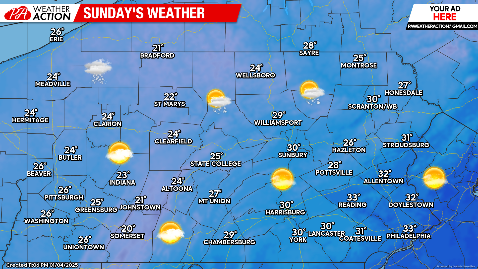
Today’s Weather Forecast: 8/10
Despite cold temperatures, today will be mostly calm. A few leftover lake effect snow showers will remain possible across northwest Pennsylvania. Temperatures will hover in the 20s to low 30s.
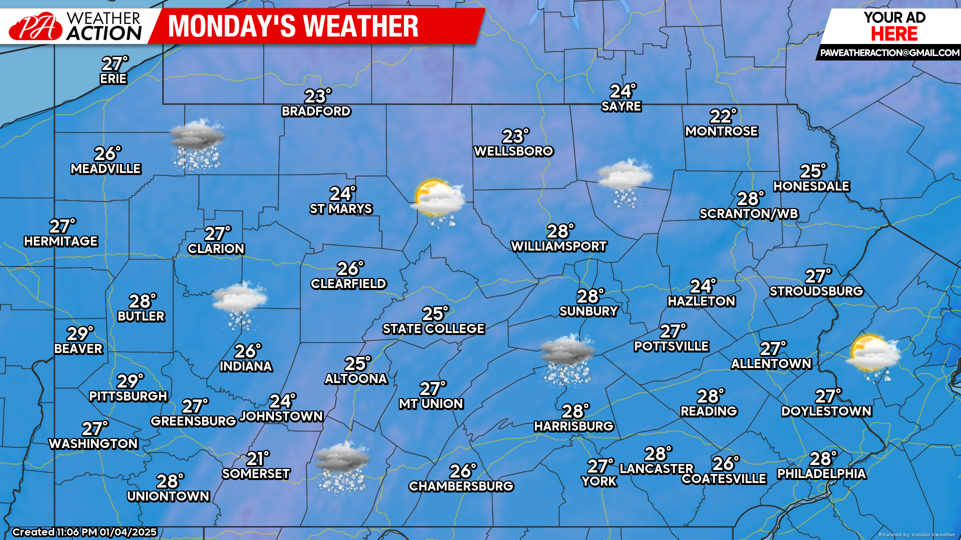
Monday’s Weather Forecast: 1/10
Widespread snowfall, potentially heavy at times across southern Pennsylvania can be expected Monday. Generally, the more north you are in Pennsylvania, the less impacts you can expect from Monday’s winter storm.
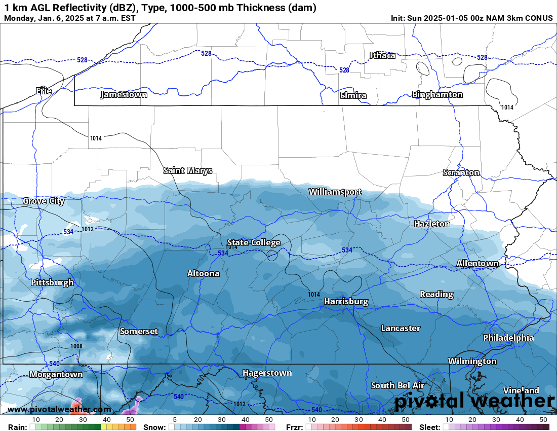
Hi-Res NAM Future Radar Valid for 7:00 AM Monday:
Clouds will increase Sunday evening ahead of our winter storm. Snow will begin to overspread the area by early Monday morning while many of us are sleeping.
For those that will be traveling Monday, please allow yourself extra time getting to your destination. Below is the Hi-Res NAM model valid for 7:00 AM Monday:
Temperatures Monday morning will be in the upper teens to low 20s. This will cause whatever snow that does fall, to accumulate rapidly on all surfaces, including roadways. Plan accordingly.
For our latest snowfall forecast that was posted yesterday evening, please scroll to the bottom of this article.
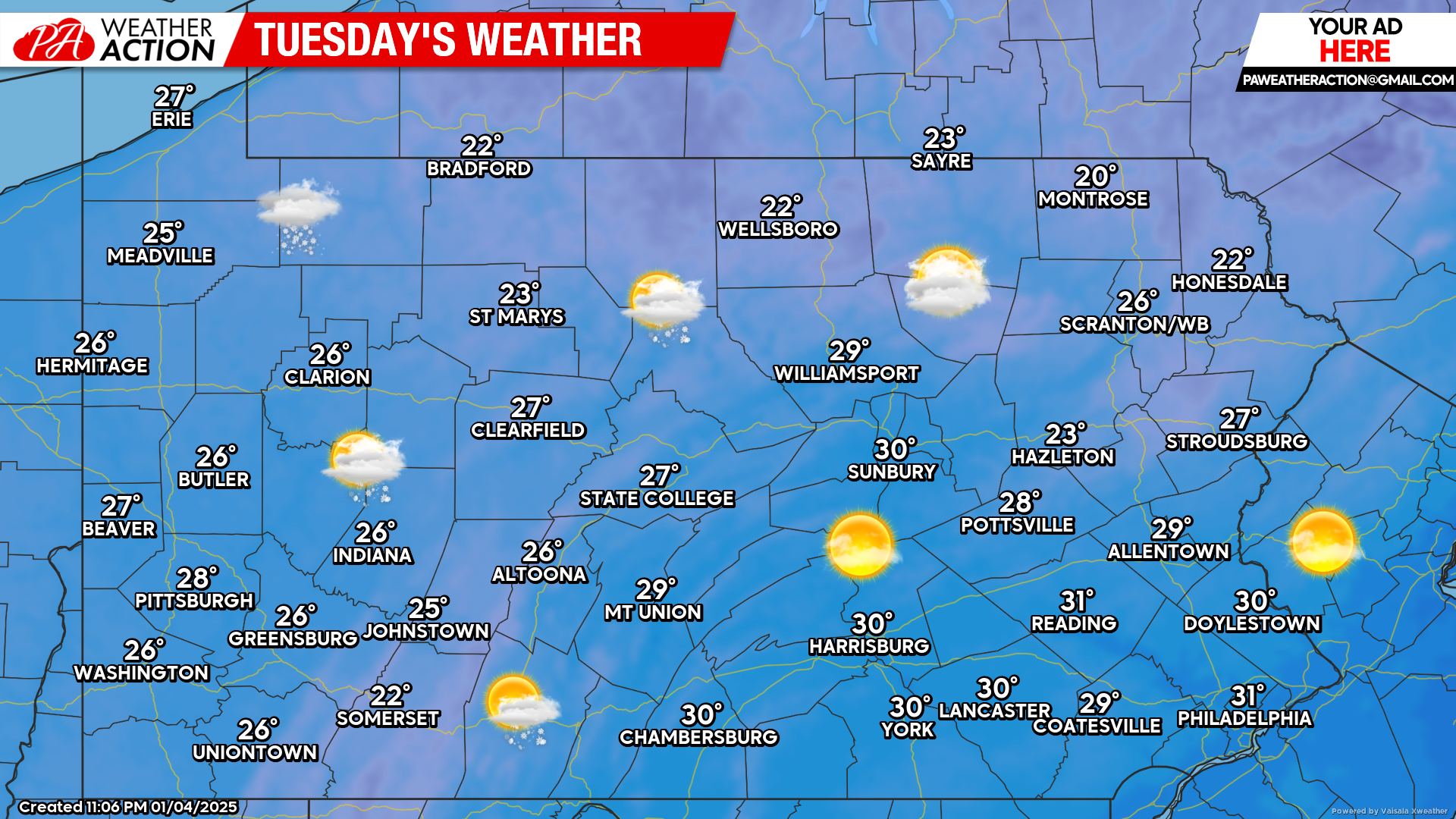
Tuesday’s Weather Forecast: 7/10
Winds will be on the increase again Tuesday allowing for lake effect snow showers to take place across northwest Pennsylvania. A mix of clouds and sunshine can be expected elsewhere with temperatures in the 20s and low 30s.
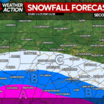
Please view the link below in case you missed our second call forecast for tomorrow’s winter storm. We will have a final call posted this afternoon:
Second Call Snowfall Forecast for Monday’s Southern PA Snowstorm


You must be logged in to post a comment.