
Good morning! We will have another day of cool and wet conditions throughout the region today as the remnants of Tropical Storm Ophelia swing through our region one last time before heading out to sea. If you are hoping to see the sun and warmth return, you will only need to wait one more day until Wednesday! Otherwise, lets jump into the forecast.
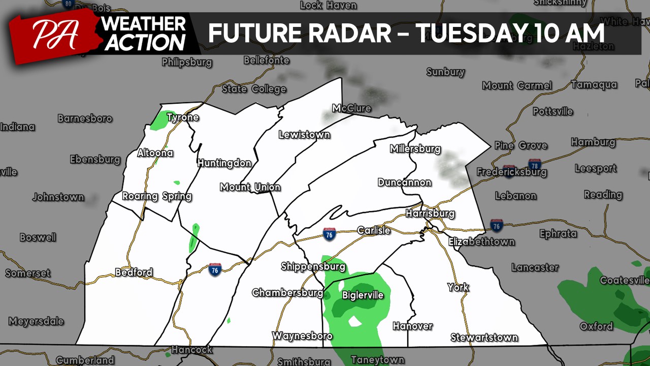
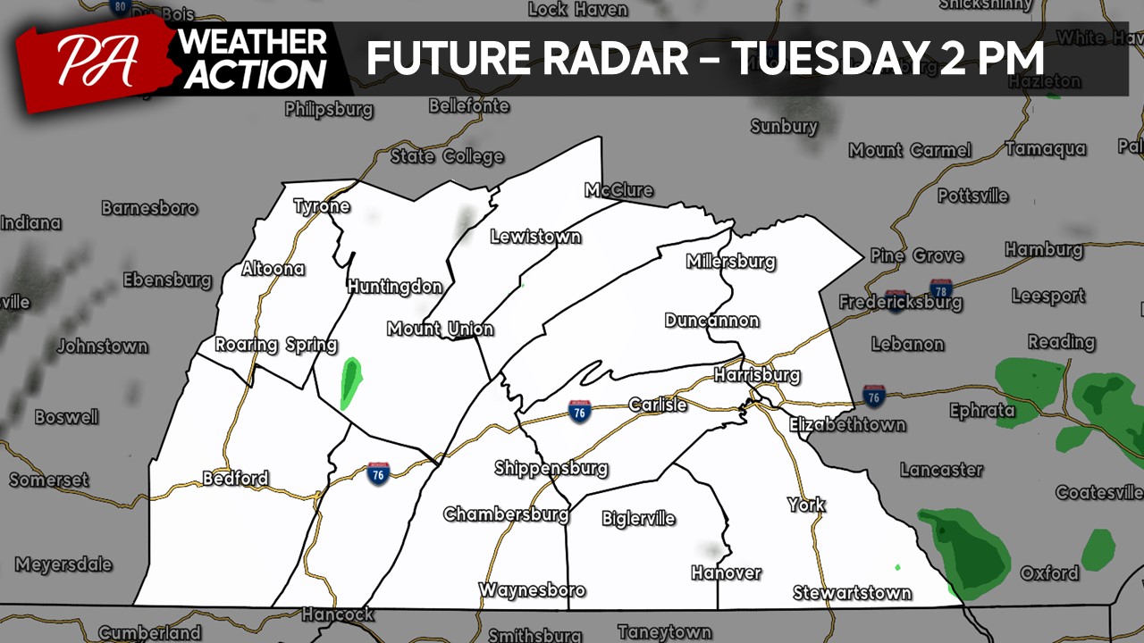
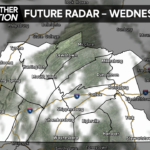
FUTURE RADAR:
Early this morning thick cloud cover with scattered showers and widespread drizzle will be impacting much of the region. Take it easy if you are heading outdoors early this morning!
As we head into the early-afternoon hours, the overall rain coverage should come down a bit but still expect areas of lighter-to-moderate drizzle in spots under mostly cludy skies.
By the evening hours, thick cloud cover will still hold strong across the region with a few lighter rain showers in place.
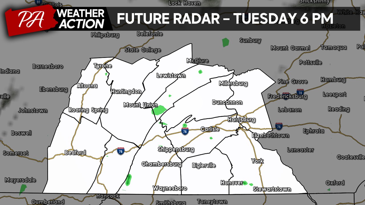
Overall, there will not be a lot of accumulated precipitation today (T – 0.05″) but it will feel very dreary due to the thick overcast with a constant drizzle at times.
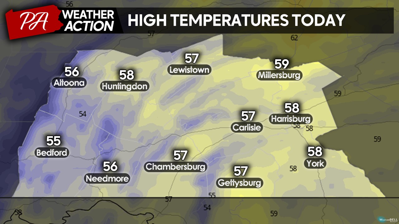
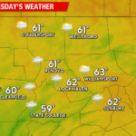
HIGH TEMPERARTURES TODAY:
Due to the rain showers and drizzle, high temperatures will only make it into the mid-to-upper 50s this afternoon. We will also have an easterly wind of 5-10 MPH at times with gusts up to 15 MPH in spots. It will be a great day to watch a mvi, have hot chocolate, or make some soup!
I hope you have a great Tuesday despite the weather! If you have any questions regarding the forecast, feel free to reach out.
Denys Khrulov
You must be logged in to post a comment.