
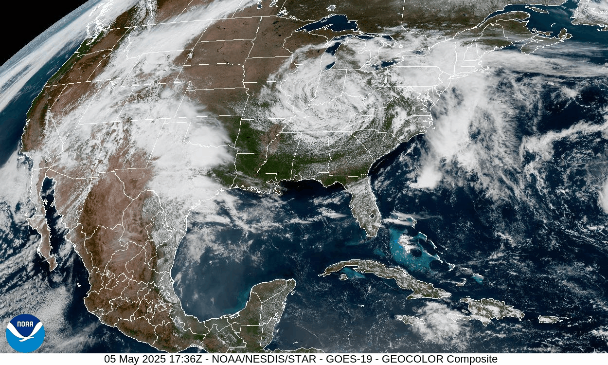
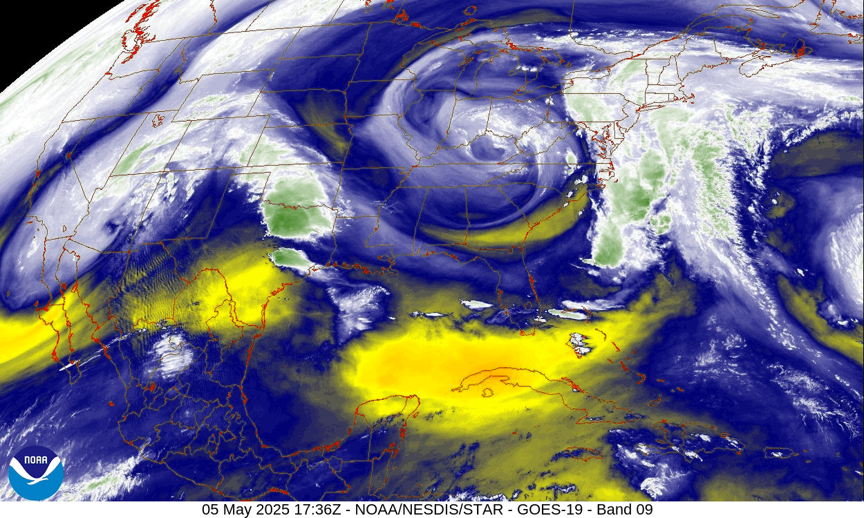
A cut-off upper-level low is located over the Mississippi River, and will slowly open up and move eastward over the course of the week. Copious moisture is spiraling around that low, evident in today’s water-vapor satellite loop. Persistent showers this week will deliver an additional half inch to over an inch of rain to some places.
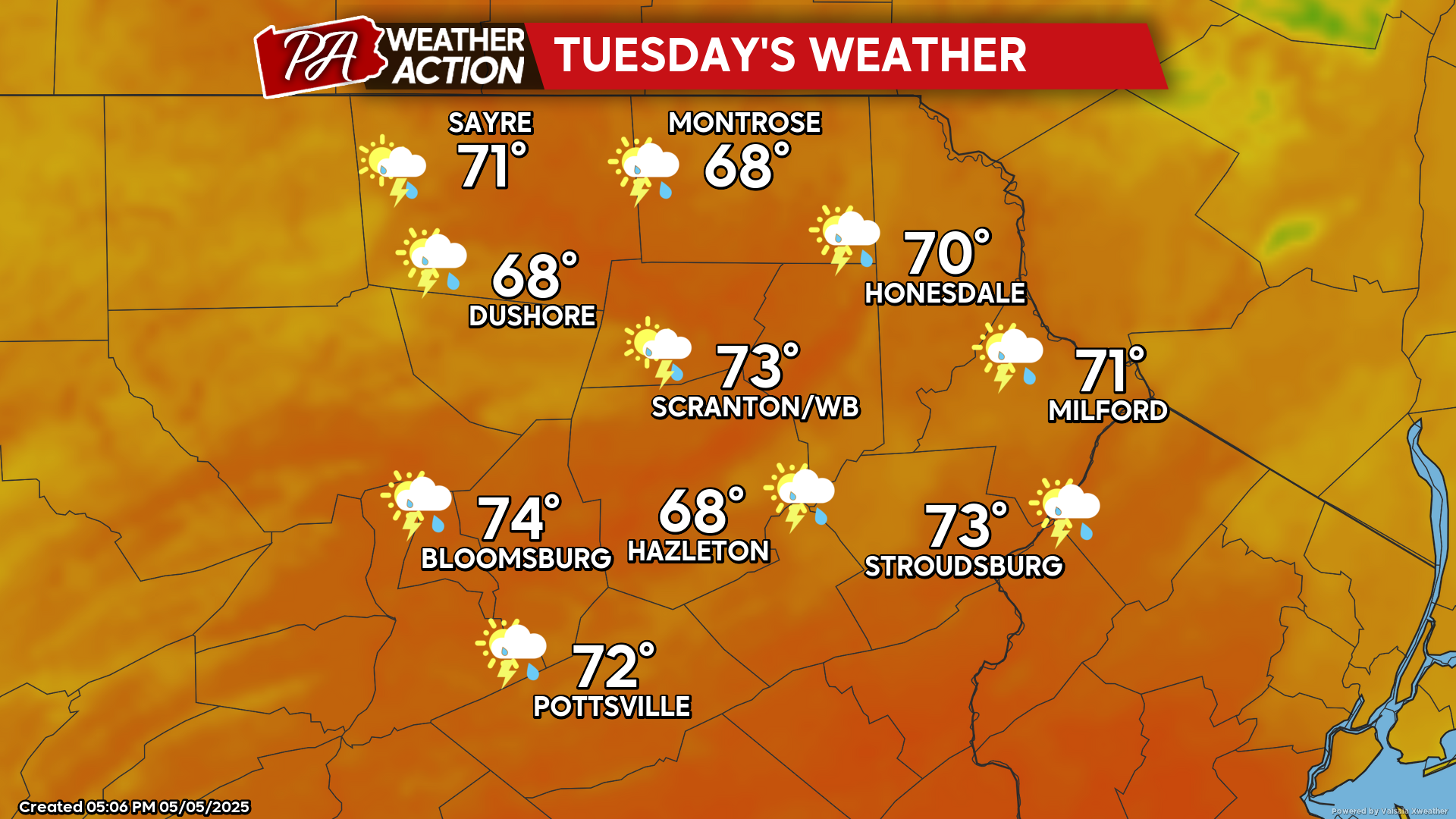
TUESDAY
Variable clouds with a persistent opportunity for showers and thunderstorms will continue, along with humid conditions. Overnight temperatures will remain in the 60s for most locations.
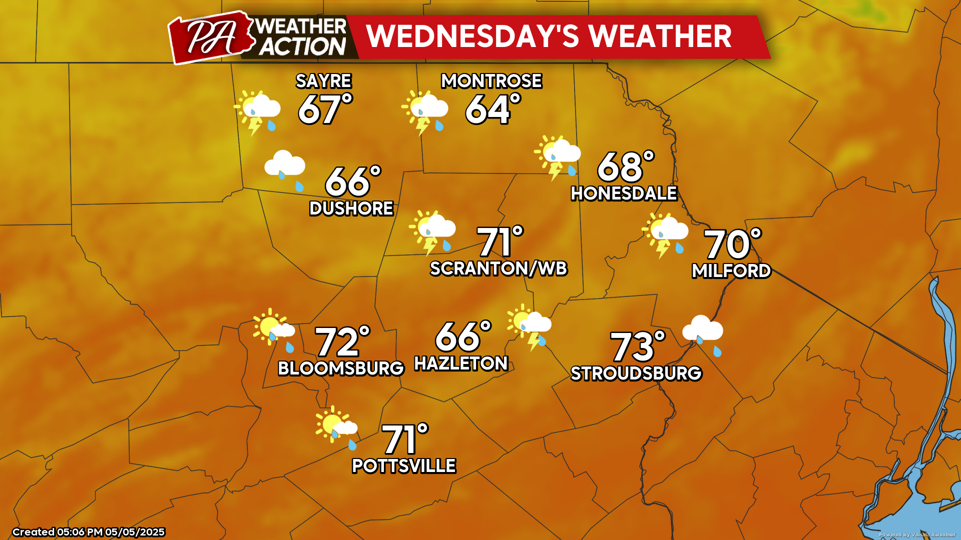
WEDNESDAY
The cut-off low will open up and drift eastward into New England. Variable clouds with scattered showers and thunderstorms will continue, mainly during the morning hours. As the low moves east of our area, the wind will shift to the west during the afternoon along with fewer showers.
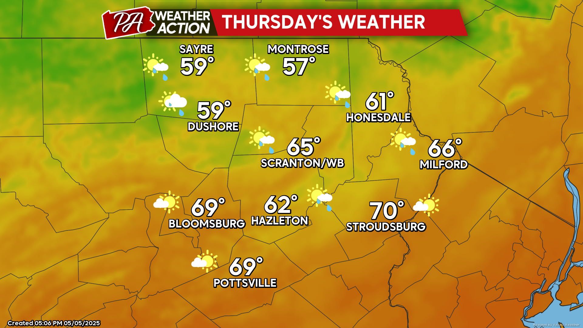
THURSDAY
That pesky upper-level low will finally relinquish control of our weather. Meanwhile, a strong Canadian surface high will move into the Great Lakes and eastern Canada, pushing a cold front across our region. This will provide an additional day of showers and thunderstorms, mainly thought midday. Behind the cold front, temperatures will fall into the 50s during the afternoon in our northern counties. This will herald a colder day Friday when temperatures will barely reach 50 in the higher elevations and upper 50s in the valleys.

You must be logged in to post a comment.