
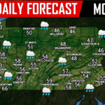
The warming trend continues! Many areas reaching the 40s and even 50s today with still some areas stuck in the 30s, but no precipitation is expected. 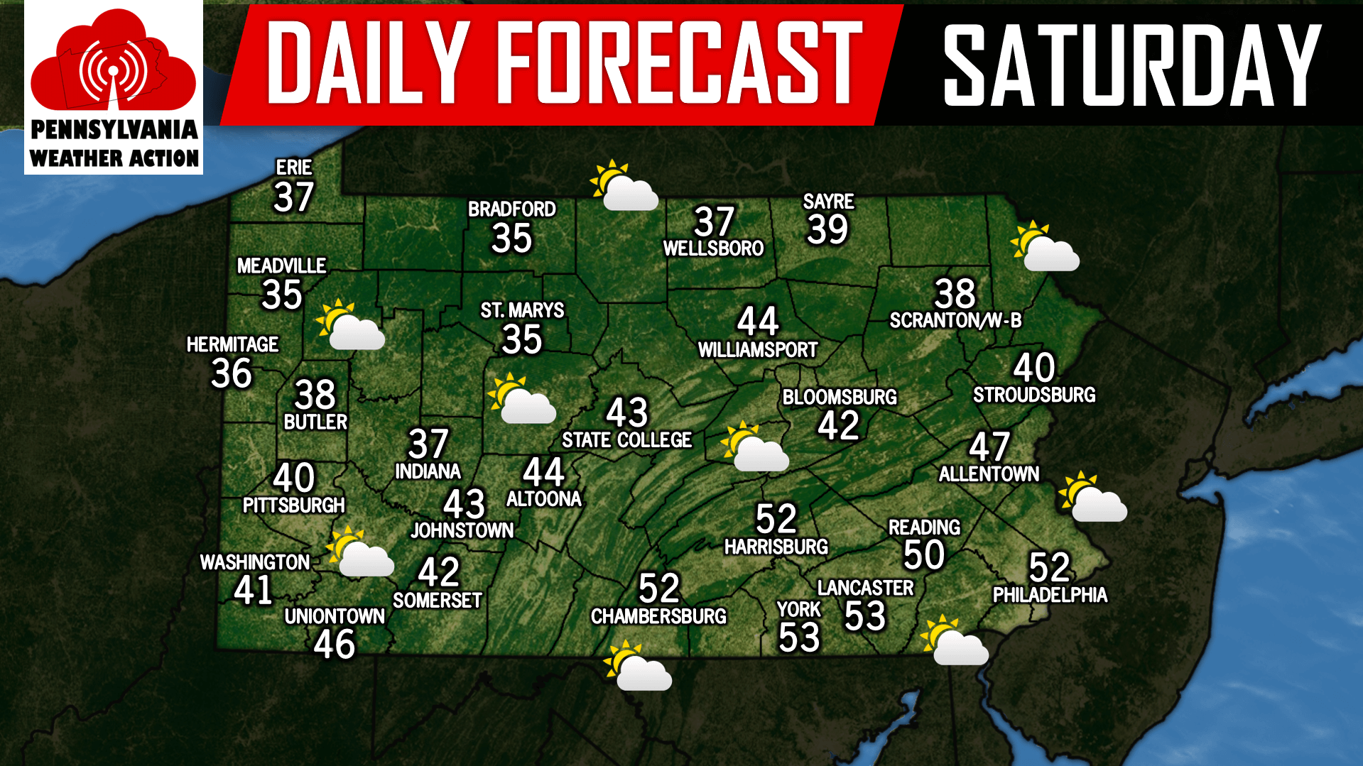
We are still tracking a strong storm system known as a Great Lakes Cutter that will deliver the region a steady rainfall. The only difference from yesterday, it now appears the storm system will arrive later than originally expected. Instead of Monday afternoon into Tuesday morning, the bulk of the rain will be early Tuesday morning through early Tuesday afternoon. Pictured below is the GFS valid for Tuesday 7:00 AM: 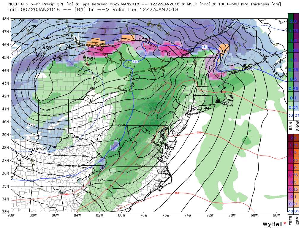
We have been receiving a lot of questions over the last couple days about when we can expect the next snowfall. Unfortunately for snow lovers, the rest of January looks rather snow-less. There is a potential storm system towards the end of the month that may deliver some snow, best chance would be for the far interior, but that is way too far out to have any confidence is specific details.
Below is taking a look at the latest GFS Ensemble mean snowfall map for the next 10 days: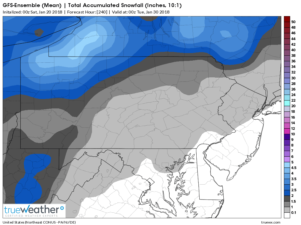
The general theme here is a quite end to January in terms of snow. But February looks to bring back multiple snow chances and more sustain cold.
You must be logged in to post a comment.