
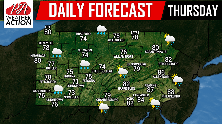
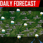
Another day, another threat for showers and thunderstorms. The areas with the greater risk of strong to severe thunderstorms today will be across the Eastern half of Pennsylvania.
First, morning showers are expected across Western PA into the Laurel Highlands, as well as parts of Central PA. Below is a look at the future radar valid for 11:00 AM: 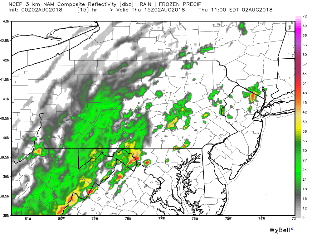
These showers will then begin to enter a more unstable environment across the eastern half of the state as we head into the afternoon hours. This will allow for storms cells to fire up and potentially produce severe weather. Below is a look at the future radar valid for 5:00 PM this afternoon: 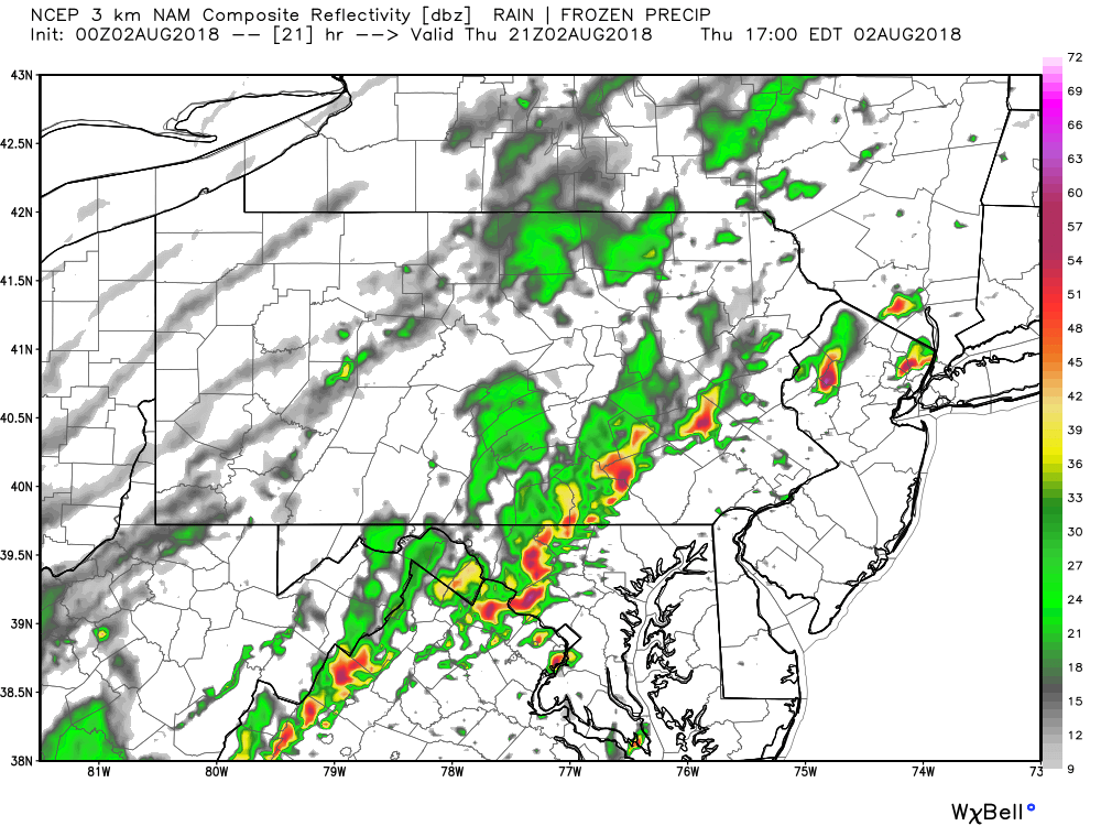
The main concern with today’s storms is the potential for flash flooding. Almost all of Central Pennsylvania and into Northeast Pennsylvania are under a FLASH FLOOD WATCH until tomorrow morning due to the already saturated grounds. As always, stay tuned to our Facebook page for the latest severe weather coverage!
You must be logged in to post a comment.