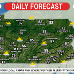
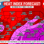
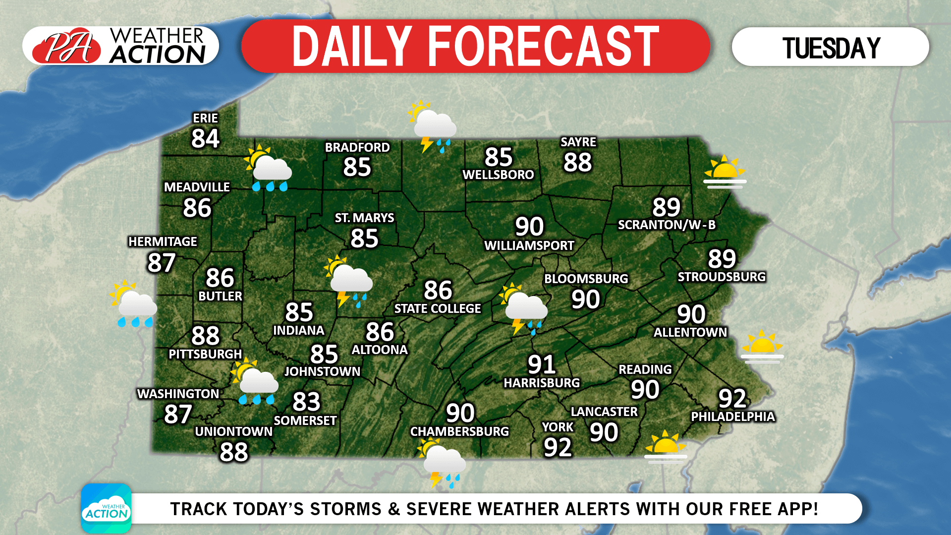
It’ll be hot once again today with temperatures around 90 for most of us. A line of strong storms may develop in central PA mid-afternoon and move east. Areas near the thunderstorm icons on the map below have the best chance of being hit by the line. We’ll have an article this evening on the major heatwave coming late-week.
Last updated on July 16, 2019
Josh has been passionate about weather as long as his memory dates! From watching the Weather Channel at age 7, to making hand-drawn hurricane maps at age 11, starting his first weather site at 13, and founding PWA at 15 and forecasting for the state for the past 9 years, Josh's interest in weather has never dwindled! As difficult as it is, he greatly enjoys forecasting for Pennsylvania due to its countless microclimates. The state is an East Coast severe weather hotspot and nearly always home to the rain/snow line during winter storms!
Post navigation
Previous Post
Daily Forecast for Monday, July 15th, 2019
You must be logged in to post a comment.