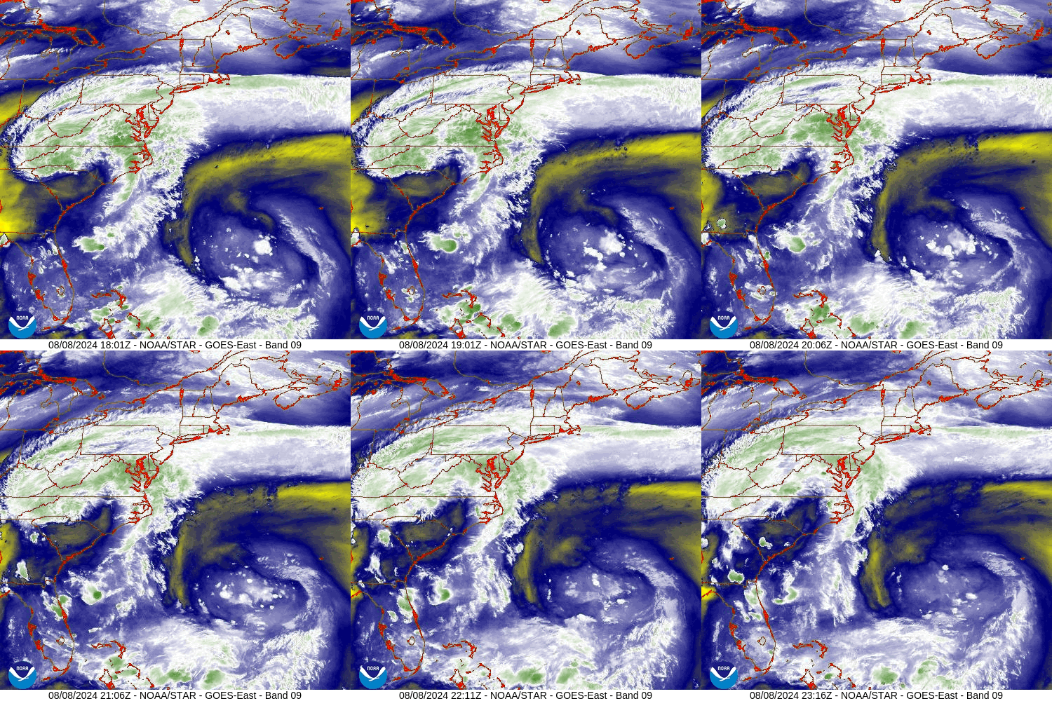
A stationary front currently straddles east-west across Pennsylvania. Meanwhile Debby’s center is currently crawling into south-central North Carolina.
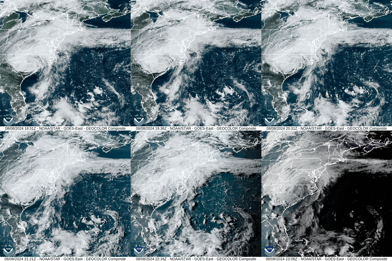
Debby will be caught up in stronger upper-level winds as she enters Virginia later tonight and accelerated through Pennsylvania Friday. This will be an impactful event for our area.
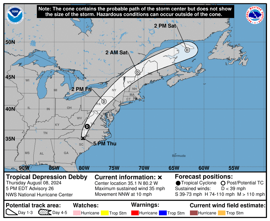
Debby’s center will pass through central Pennsylvania Friday. Her circulation several thousand feet above the ground will still be quite robust over our area, and strong wind gusts over 40mph could mix to the surface in the stronger thunderstorms. Recent heavy rainfall has already saturated the ground, and additional heavy rainfall from Debby could cause flooding. Because she will track west of our area, some of the thunderstorms will be able to tap into the strong shear east of the track and spin up weak tornadoes.
Estimated 7-day rainfall ending 8am Aug 8 2024: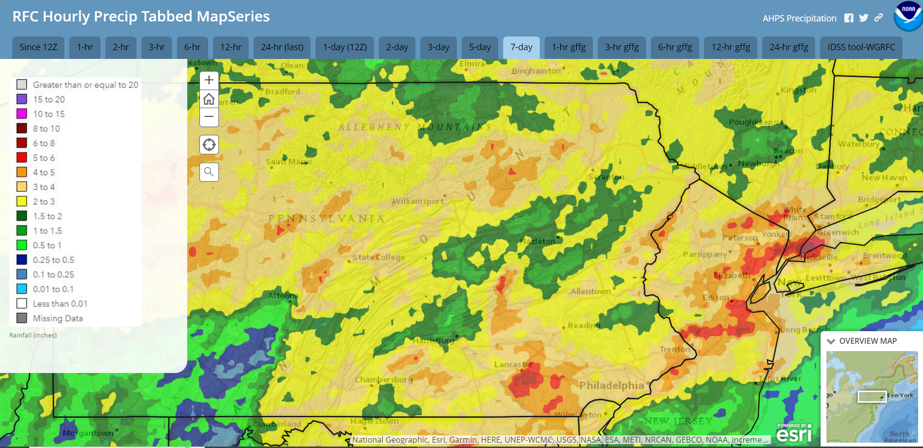
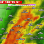
Anticipated Rainfall 5pm Thursday Aug 8 through 8am Saturday August 10: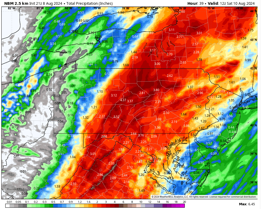
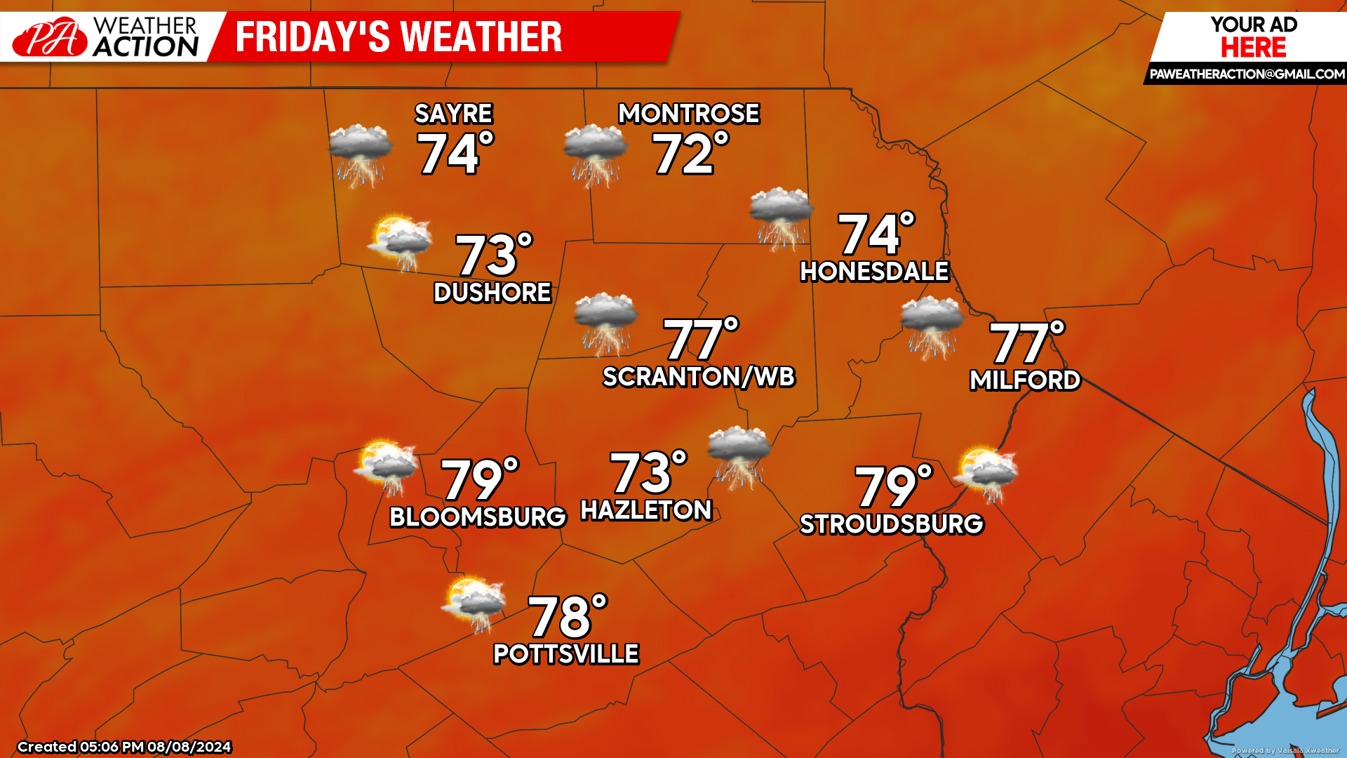
FRIDAY
Debby’s center of circulation will accelerate northeastward through central Pennsylvania early afternoon. Numerous showers and thunderstorms with tropical downpours inundate the region, along with a wind from the southeast gusting over 30 mph, possibly higher in thunderstorms. A line of strong storms will likely develop during the afternoon. Those storms will generate intense tropical downpours and could mix down strong gusts and possibly spin up weak tornadoes. The threat will subside by evening. Widespread 1-4″ rainfall amounts will result in some flooding. Recent saturation of the ground also means that even 30-40mph gusts could compromise some trees, resulting in potential widespread power outages.
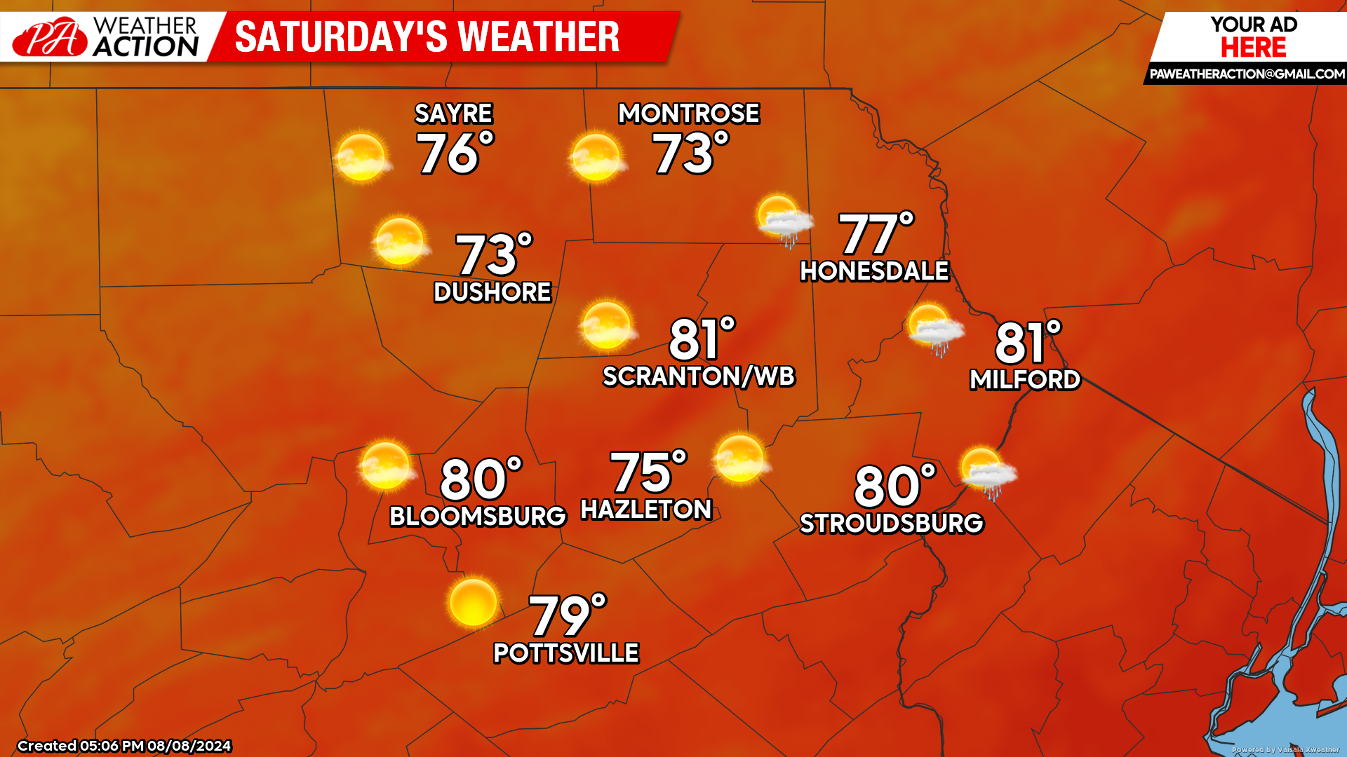
SATURDAY
Dry Canadian air will be drawn into our area on gusty wind from the northwest behind the departing remains of Debby. There could be some lingering showers into the predawn hours in our eastern counties. Thus will commence an extended break from this summer’s heat and humidity as we enter a period of weather reminiscent of early September that will last into next week.
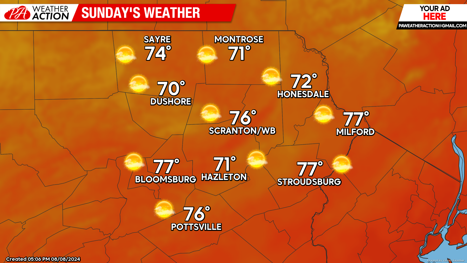
SUNDAY
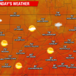
Sunshine,, low humidity and low temperatures will give a September feel to the air. Enjoy!

You must be logged in to post a comment.