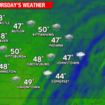
Sunshine boosted parts of our area into the low 70s today. Earlier this week, some record high temperatures were broken. Binghampton NY reached 73 on Tuesday to break their old record of 71 for November 5th. Avoca airport tied their record high of 77 for Wednesday November 6th. A weak moisture-starved cold front crossed our area this afternoon and will deliver colder weather (albeit still above-normal) for Friday through the weekend. There continue to be indications of desperately-needed rain later this weekend.
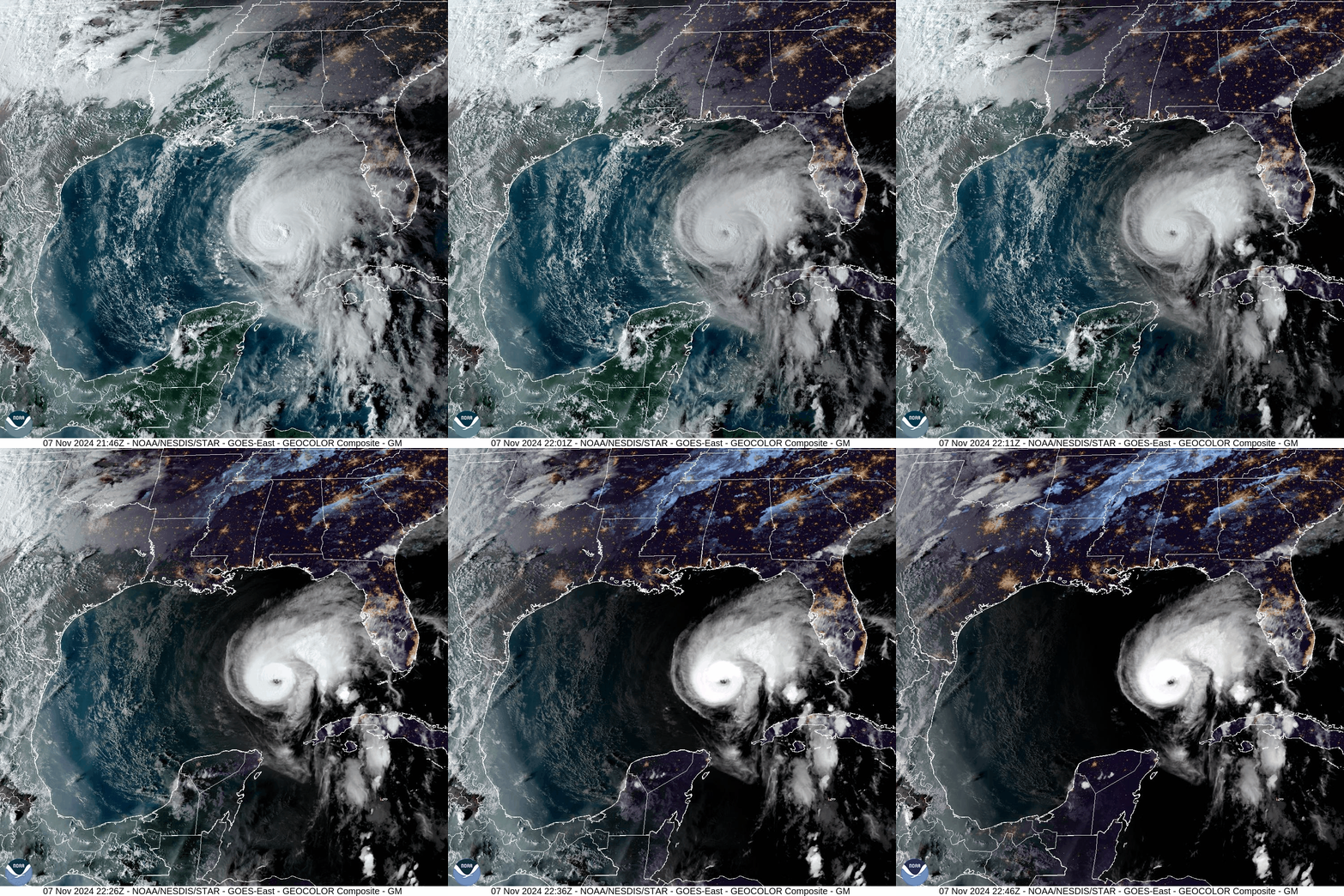
In the Gulf, Hurricane Rafael looks very healthy, As of 3pm CST Thursday Nov 7th, Rafael is located about 260 miles NW of Havana Cuba, with 105 mph wind. His current motion is WNW at 9mph and he and is expected to continue moving westward through early Saturday, when the approaching upper-level trough could shear the mid and high-level part of the storm northward and leave the surface circulation behind to slowly weaken and dissipate. Some of that mid and upper-level moisture could be entrained into that upper-level trough to help our rain chances later this weekend.
Here is a satellite loop of Rafael from Thursday evening:
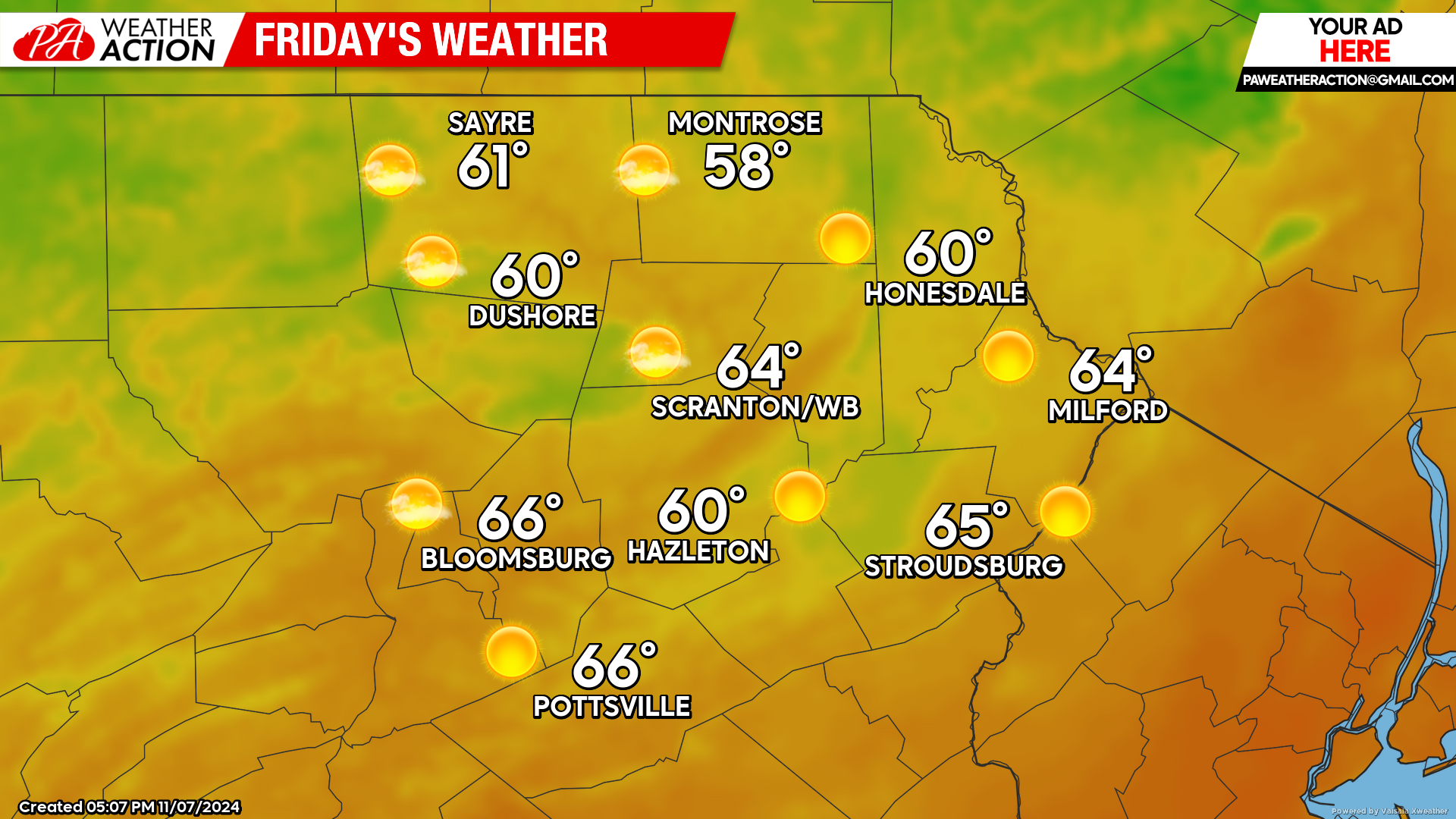
FRIDAY
Friday will feature sunshine, breezy wind from the NW gusting over 25mph, and above-normal temperatures. Please refrain from all outdoor burning as the fire danger will be extremely high!
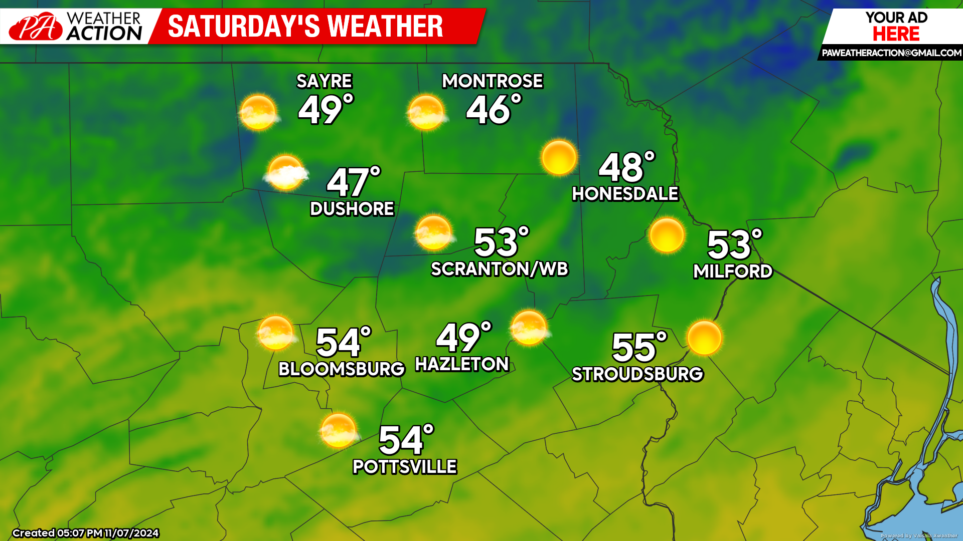
SATURDAY
Breezy conditions with high fire danger are expected to persist through Saturday. Temperatures will only be a few degrees above normal, which will feel somewhat chilly compared to our recent extended tease of summer.
SUNDAY
Sunday will feature increasing clouds with showers arriving during the afternoon and lasting through the overnight hours. At this time, it looks like we will get around a third to a half inch of rainfall with this system. Keep in mind that some parts of our area have experienced a record stretch of days without measure-able precipitation, so any rainfall is desperately needed.

BEYOND SUNDAY (Monday-Friday Nov 11-15)
Next week will be another warmer-than-normal week, but not the record warmth we’ve been experiencing recently. There will be some residual rainfall early Monday from the late-Sunday system, and another opportunity for rain toward the end of the week.


You must be logged in to post a comment.