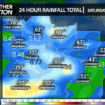
A frontal zone currently stretches east-west across our area, with numerous showers and thunderstorms developing across the region. As the front moves southward tonight, the first round of showers and thunderstorms will impact our area with locally heavy downpours.
That frontal zone will waver across our area to maintain unsettled conditions through the weekend. Cool autumnal air will then dominate our weather for the first full week of September.
Cool autumn-like air will then control our weather for the first week of September. Speaking of cool autumnal weather, last weekend delivered the first snowfall of the season to the higher elevations of the Sierra-Nevada range in California!
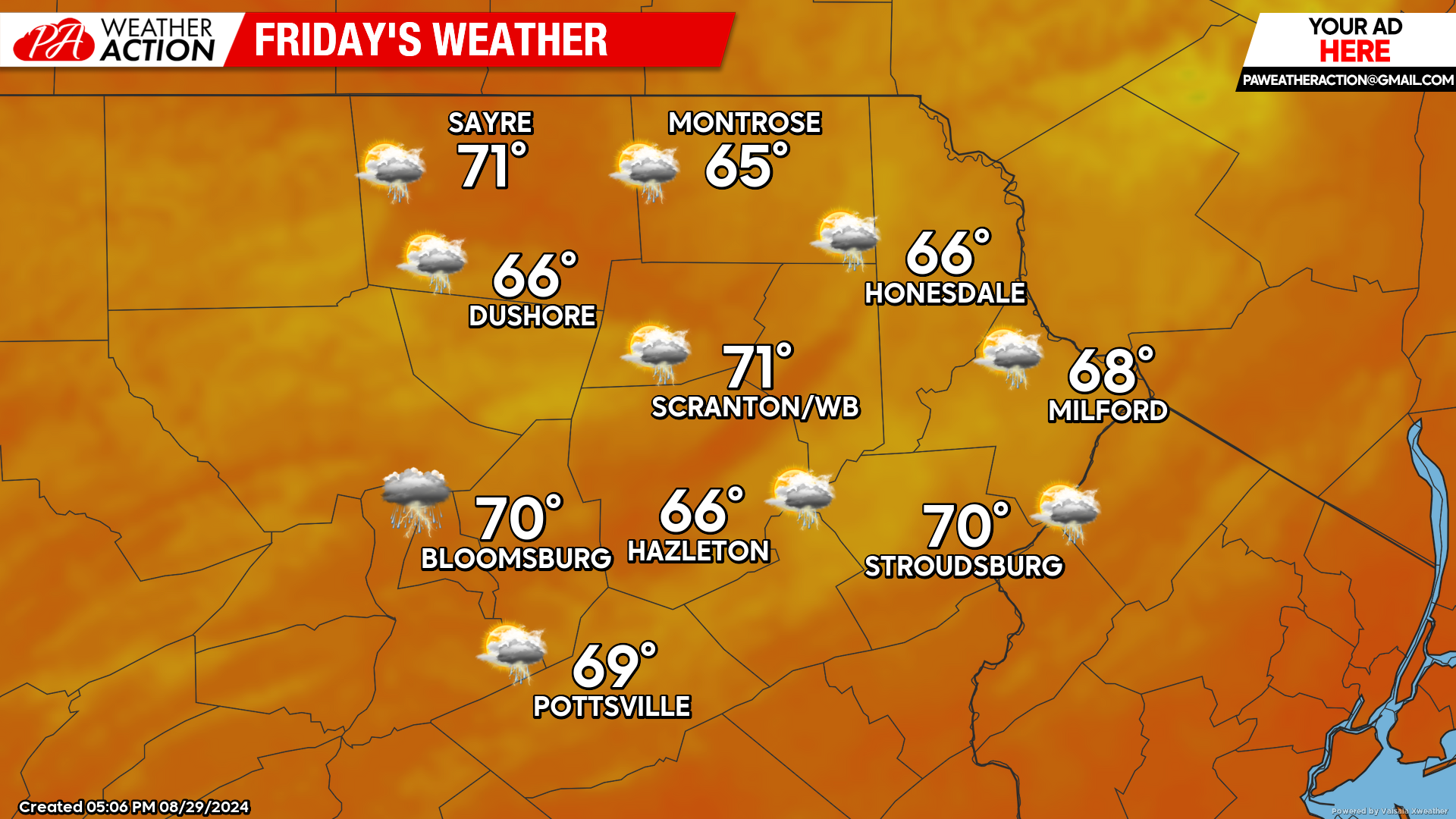
FRIDAY
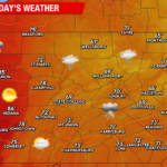
The aforementioned frontal zone will be south of our area, resulting in lower temperatures and humidity. The frontal zone will begin working back northward as a warm front and thus the opportunity for showers and thunderstorms will persist throughout the day.
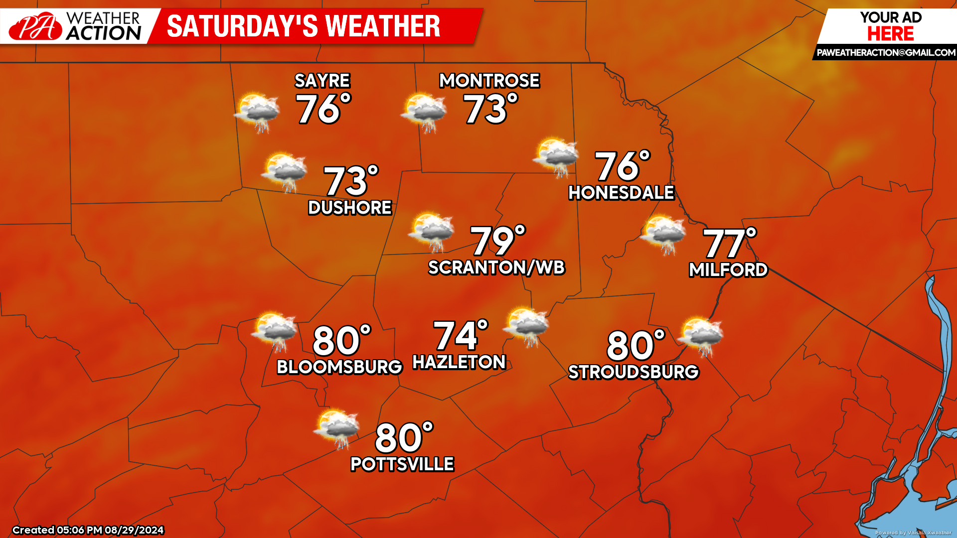
SATURDAY
The frontal zone will be north of our area, with higher temperatures and humidity working northward throughout the day. Meanwhile, farther west, the frontal zone will begin pushing southeastward as a cold front, entering Pennsylvania late in the day. This will ignite showers and thunderstorms. There could be a line of stronger thunderstorms ahead of the front reaching our area later in the afternoon and during the evening.
The opportunity for showers and thunderstorms will continue throughout Saturday night. The cold front will cross our area late Saturday night or early Sunday morning. It will be a humid overnight as well, and if you enjoy that sort of weather I suggest spending some time immersed in it before the upcoming pattern shift.
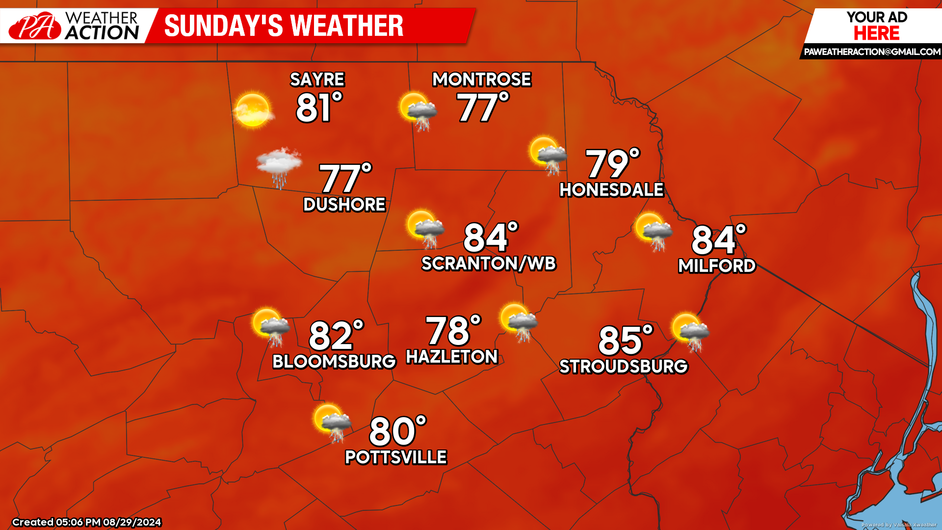
SUNDAY
The first cold front will push through our area overnight Saturday night or early on Sunday. Behind the front, there will be somewhat humid conditions at the surface, albeit less humid than Saturday. However, drier air aloft will result in a sunnier day and higher temperatures, making it feel like a final gasp of Summer’s dog days. And it will be, as another cold front will push into our area Sunday evening to deliver a solid taste of Autumn for next week. As the cold front nears our area, it could spark some showers and thunderstorms, although the drier air aloft will impede their development.
BEYOND SUNDAY (Mon-Fri Sept 2-6)
Sunday evening’s cold front will deliver a Canadian surface high that will dominate our weather next week. This will result in a dry week with daytime highs in the upper 60s to lower 70s early in the week, and lows in the 40s. Some of the colder locations might even sneak into the upper 30s on one of the nights. As that surface high slides east of our area later in the week, it will start to pump above-normal temperatures back into the region later for Thursday and Friday.

You must be logged in to post a comment.