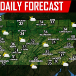
Despite being four degrees below average so far this December, snowfall has been down. Here’s why:
1: Near-miss on major snowstorm just 100 miles south due to a stubborn clipper system that caused confluence (technical term).
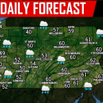
2: Unfavorable teleconnections. The MJO has been in phases that bring us above average temperatures and an unfavorable storm track. The MJO will be stuck in these phases through the end of December, likely leading to above average temperatures.
However, it may not be over completely for December. A marginally negative NAO, AO, and positive PNA, along with a sudden stratospheric warming event gives us some hope for maybe some kind of wintry event between the 25th and 31st.
The NAO, AO, and PNA are all just different areas of ocean sea surface temperatures relative to average, for those unaware.
A sudden stratospheric warming event, or SSW, is when the “polar vortex” is displaced from the North Pole due to warming in the stratosphere. Models currently have parts of Western Europe and Eastern North America benefiting from the event.
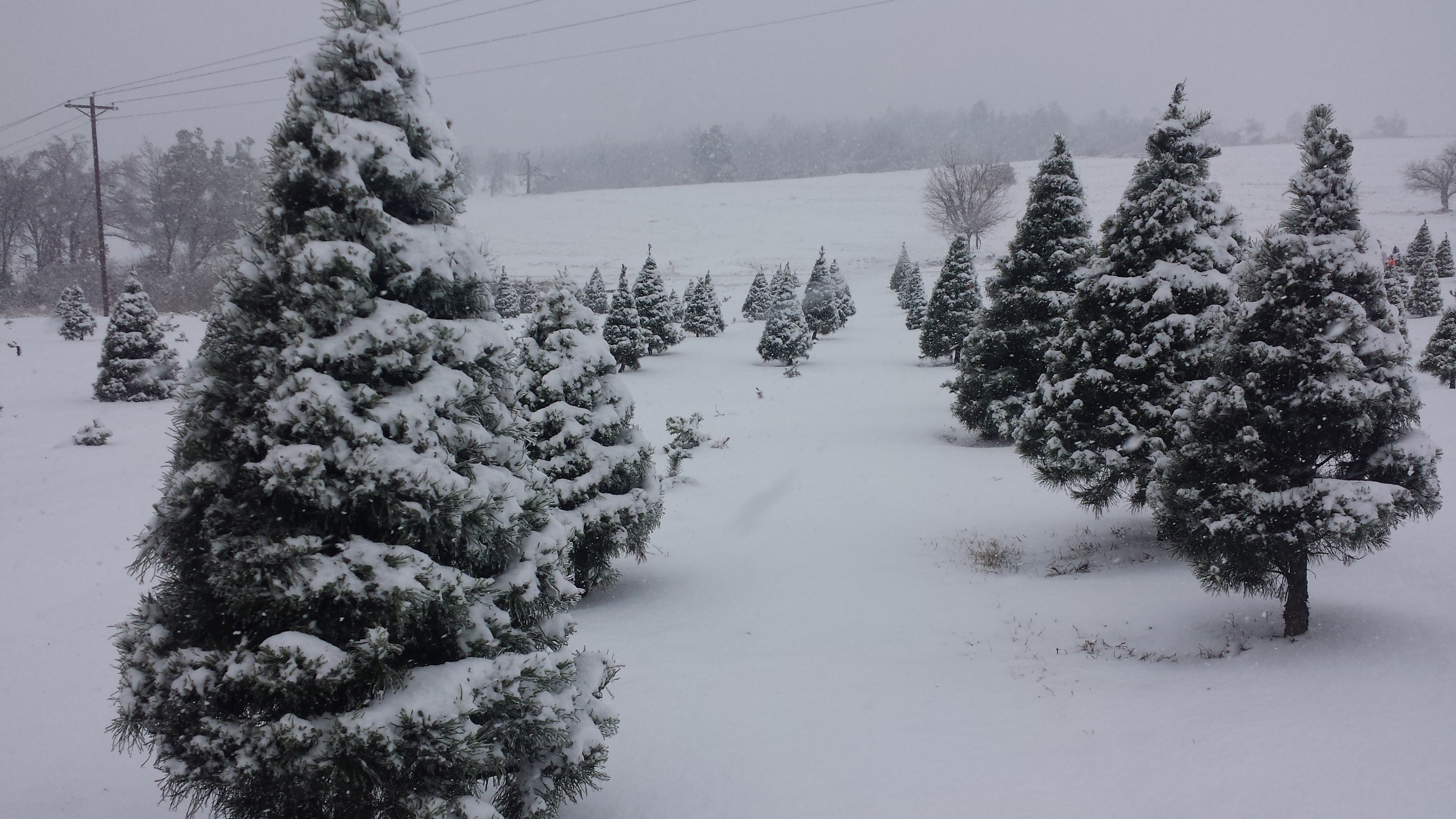
Will we see a white Christmas? Probably not, except for lake effect belts in Northwest PA. But as mentioned, a winter weather event is still possible in the last several days of December.
We are giving the area about a 40% chance of experiencing a widespread winter weather event between the 25th and the 31st.
This does not by any strech of the imagination mean winter is “canceled.” Our now-top analog is 2014-15, which had a warm December with below normal snowfall. However things quickly flipped in January to March to a much colder, and snowier pattern.
Hang in there snow lovers, it’s only mid-December. Our winter outlook did predict average temperatures and below average to average snowfall for the month of December.