
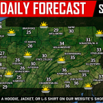
Snow is expected to develop across Western Pennsylvania late this afternoon and into the evening hours from a rather weak system arriving from the west. This system is expected to fall apart as it hits the mountains in Pennsylvania allowing for the eastern half of Pennsylvania to remain dry. 
Many areas will receive a several hour period of light to moderate snow this evening across Western Pennsylvania. Temperatures will be critical for accumulations. We anticipate temperatures will start out above 32 degrees for most, but as the snow falls, temperatures will begin to crash near to below 32 degrees. This will allow for some light accumulations, especially as darkness arrives this evening. Below is a look at the future radar valid for 5:00 PM this evening: 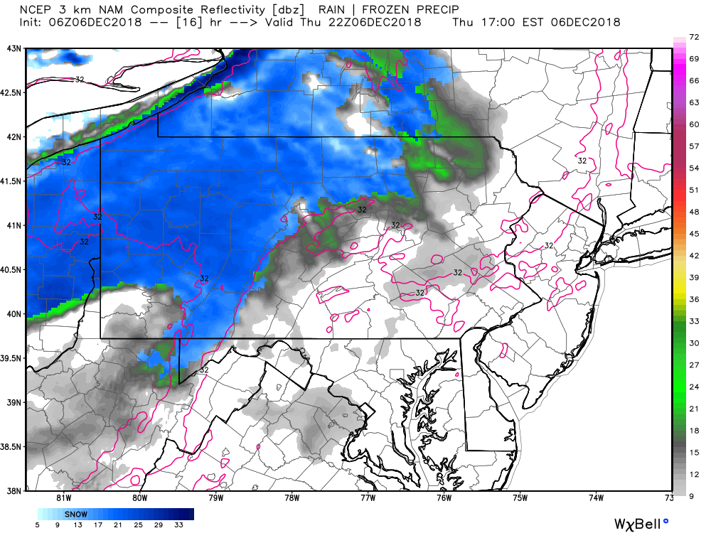 The rush hour commute this evening across Western Pennsylvania could be a tricky one, so plan accordingly.
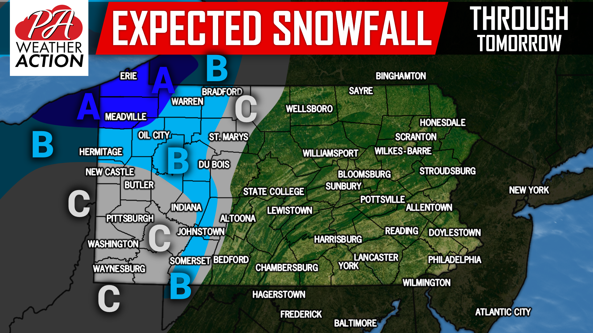
EXPECTED SNOWFALL ACCUMULATIONS THIS AFTERNOON THROUGH FRIDAY:
Area A: This area will experience lake enhanced snowfall allowing for higher accumulations. 3 to 5 inches of snowfall is expected.
Area B: 1 to 2 inches of snowfall is expected, with isolated areas receiving 3 inches.
Area C: A coating to 1 inch of snowfall is expected.
You must be logged in to post a comment.