

Beryl’s remnants journeyed into southeast Canada yesterday, drawing deep tropical moisture northward across our area. Beryl’s circulation then nudged a cold front eastward across Pennsylvania, igniting strong thunderstorms. There were scattered reports of wind damage and some funnel clouds, prompting several tornado warnings. Up to 3″ rain fall on parts of the region.
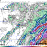
Radar-estimated rainfall:
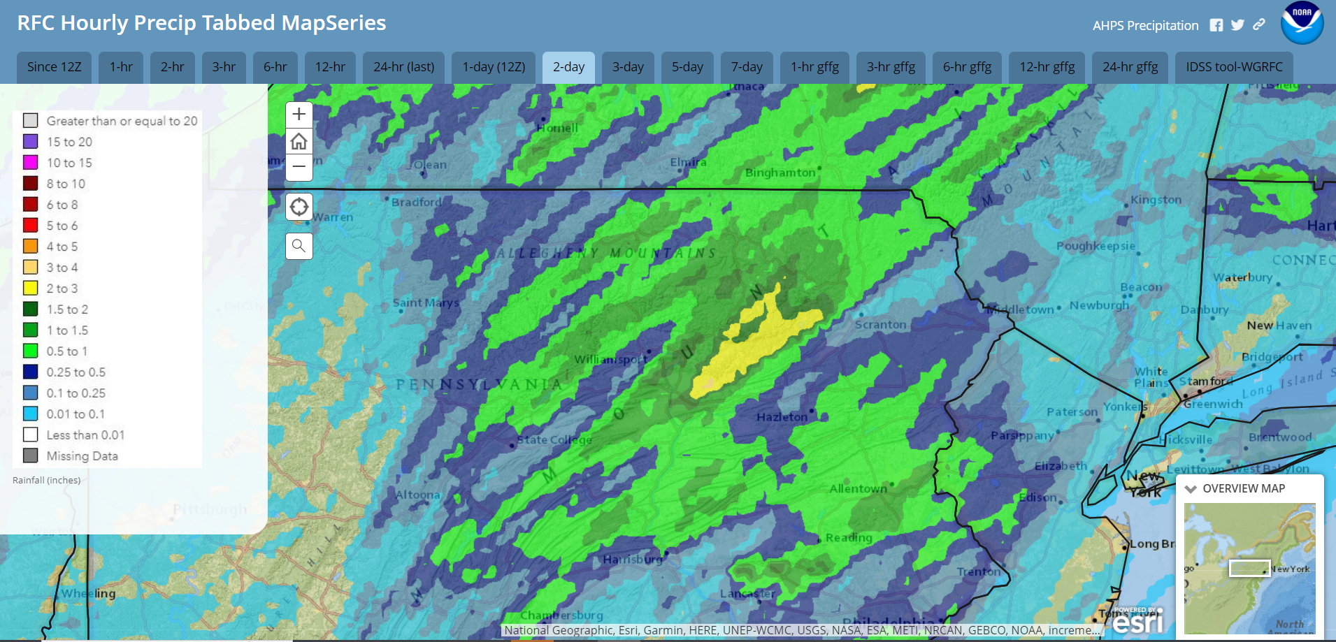
That cold front delivered less-humid air today, and is currently stalled just to our east. A large surface high over the Atlantic will build westward and pump tropical moisture northward as it nudges that front back into the southeastern part of our area during the next couple of days.
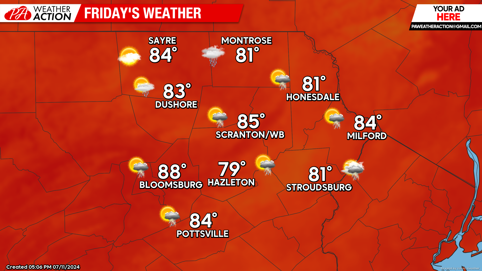
FRIDAY
Showers and thunderstorms will stream northward into eastern Pennsylvania. Locally heavy rain is possible, especially in our eastern Counties. It remains uncertain how far northwest the storms will impact, with the best opportunity in the southeastern counties and along the Delaware River.
The downpours will continue Friday night, likely affecting a larger portion of our area but still primarily in the southern and eastern counties. Locally heavy rainfall is possible.
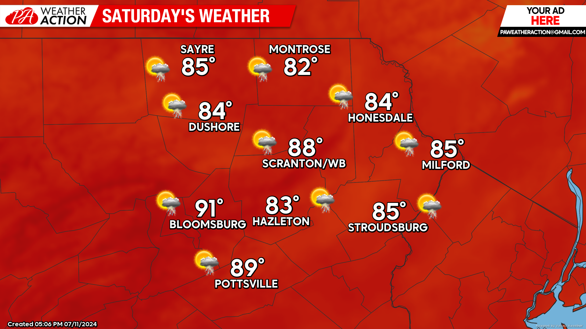
SATURDAY
The tropical downpours should retreat east of our area shortly after daybreak, with the rest of Saturday mostly dry. There could be a few isolated thunderstorms popping late in the afternoon.
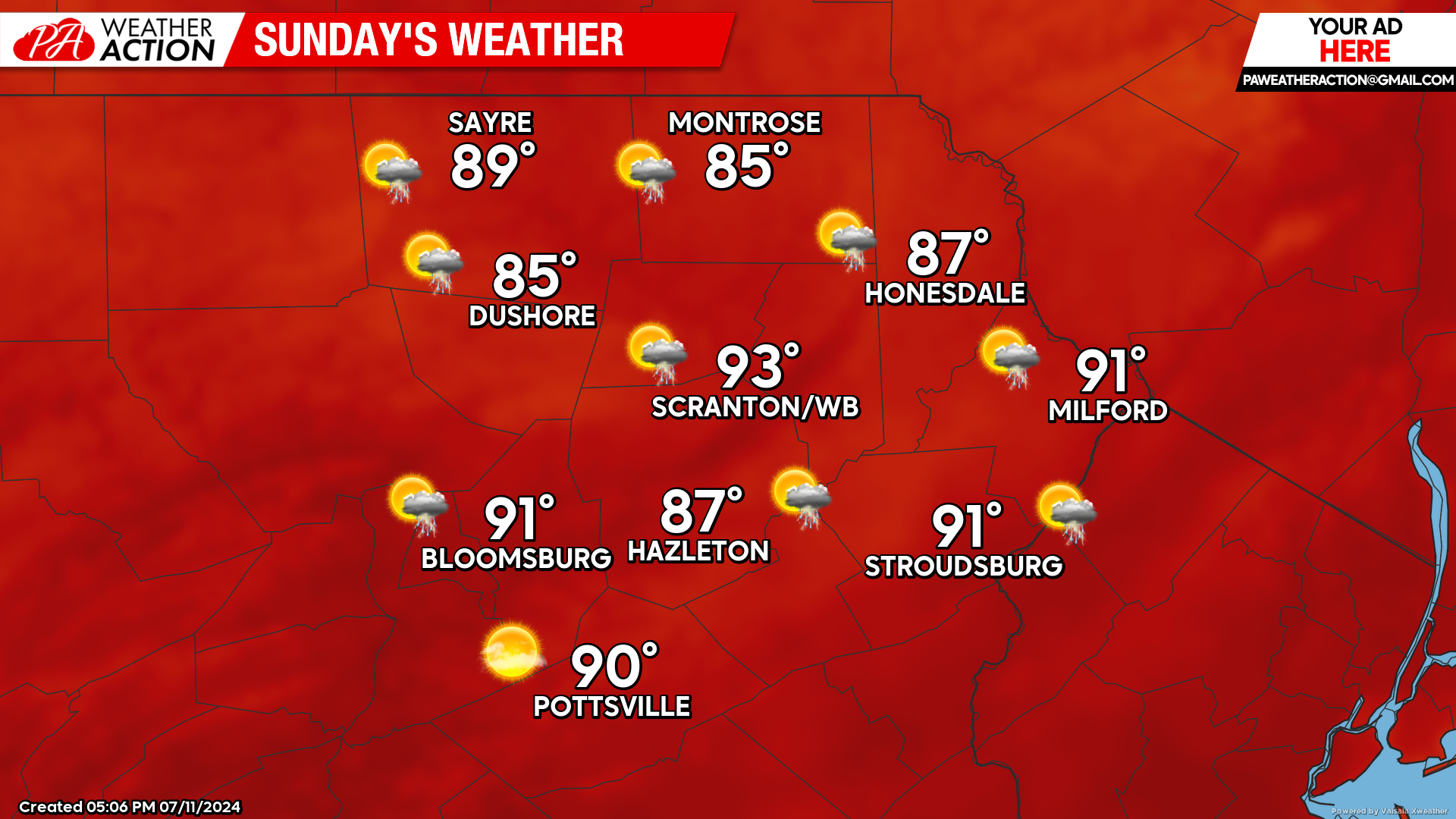
SUNDAY
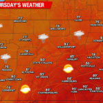
The heat will return on Sunday, with our southern valleys reaching 90 F. There could be an isolated thunderstorm, but most locations will be rain-free.
BEYOND SUNDAY (Mon-Fri July 15-19)
The Monday-Wednesday period will feature the return of hot and humid conditions. Temperatures will climb into the low-90s in the valleys. There will be the opportunity for scattered afternoon thunderstorms Monday and Tuesday. On Wednesday, a cold front will trigger more-widespread thunderstorms and deliver a refreshing airmass with low humidity and near-normal temperatures for Thursday and Friday.
You must be logged in to post a comment.