
An upper-level low just to our north has been responsible for the below-normal temperatures we’ve enjoyed this past weekend into the first part of this week. As this upper-level low relinquishes influence on our weather, an upper-level ridge will build over the East as the week progresses. This will feature above-normal temperatures for mid-late next week.
TUESDAY
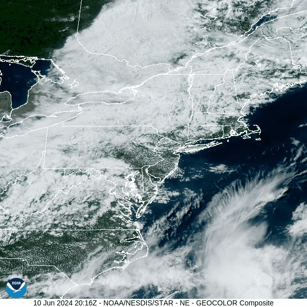
The upper-level low will provide another day of slightly-below-normal temperatures and low humidity. Daytime heating bubbling into that cooler air aloft could inspire an isolated shower to develop, but if you get to enjoy one, consider yourself lucky.

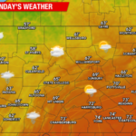
WEDNESDAY
A surface high will move into our region. This will provide ample sunshine. After a cool start during the morning with widespread lows near 50, the sunshine should boost temperatures to slightly above-normal levels.

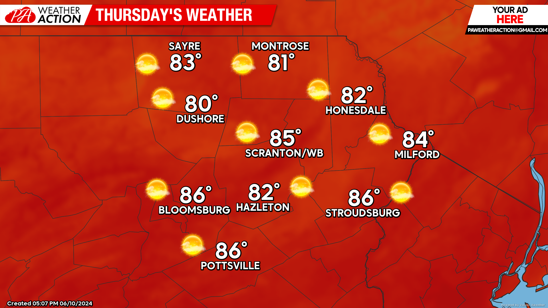
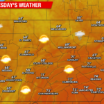
THURSDAY
That surface high will slide just to our east. Circulation around the high will start pumping much-above-normal temperatures northward into much of the East.
In our area, ample sunshine will drive temperatures well into the 80s. Humidity will also increase, but not to oppressive levels. Meanwhile, a weak cold front will be working its way across the Great Lakes, poised to affect our area at the end of the week.
BEYOND THURSDAY
A weak cold front will cross our area on Friday, providing the opportunity for some showers and thunderstorms. However, temperatures behind the front will likely remain slightly above normal through this weekend. It should also be a dry weekend.
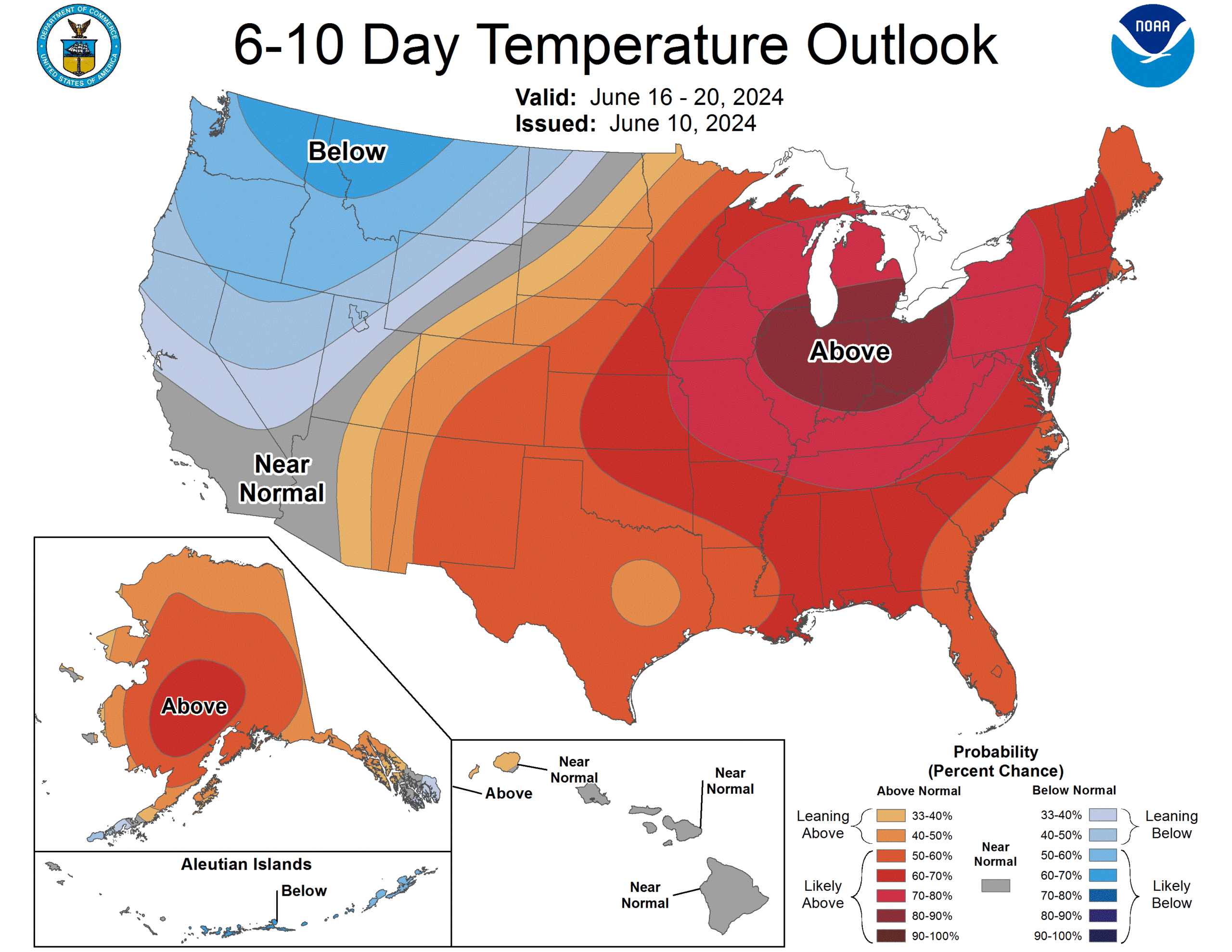
NEXT WEEK (Mon-Fri June 17-21)
Early indications of next week’s weather feature a large persistent upper-level ridge over the Plains and the East. This will result in prolonged widespread much-above-normal temperatures for the eastern half of the contiguous United States, including our area.
This will also shield us from precipitation, resulting in a drier pattern than we’ve been experiencing. If you desperately miss heavy rain and thunderstorms, I suggest spending some time in southern Florida, which will enjoy a persistent moisture plume and heavy rain this week through next week.
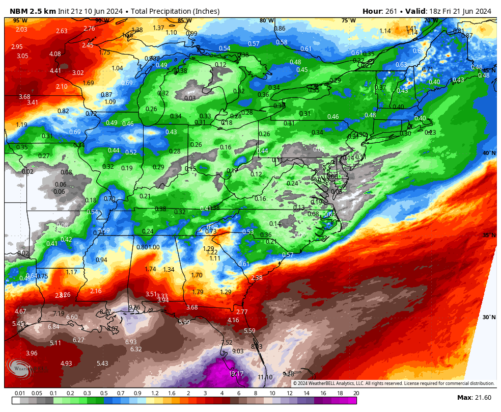
Anticipated rainfall through Friday June 21:
You must be logged in to post a comment.