A large surface high will sprawl over much of the East through Tuesday night. Meanwhile, a system Wednesday night into the end of the week will bring much-needed rainfall to quench some of the ongoing brush fires, and could ultimately deliver the fist accumulating snow of the season to our higher elevations late Thursday through Friday.
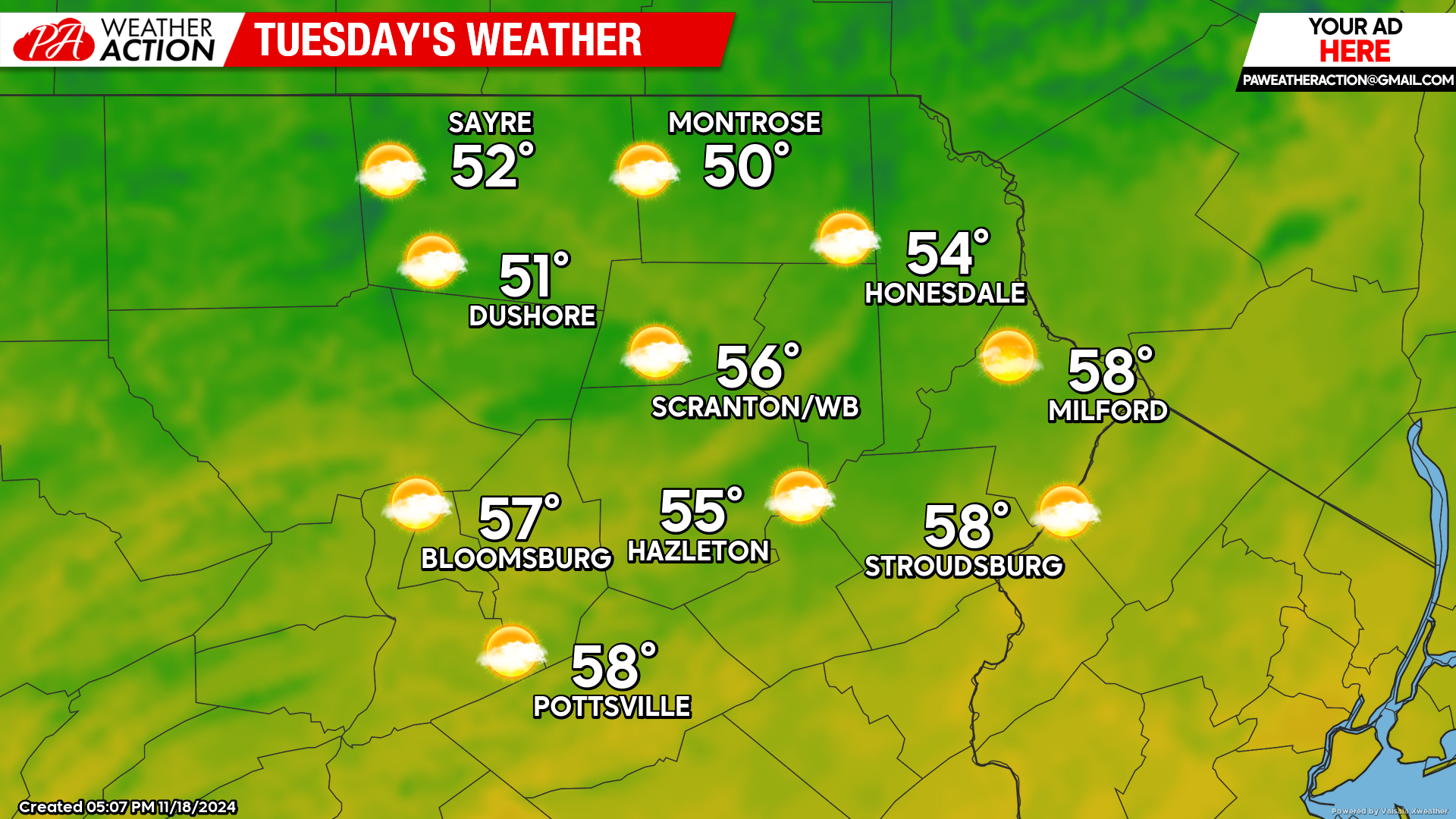
TUESDAY
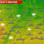
With the surface high over our region, we will experience light wind, ample sunshine, and warm temperatures for this time of year. Enjoy!
WEDNESDAY
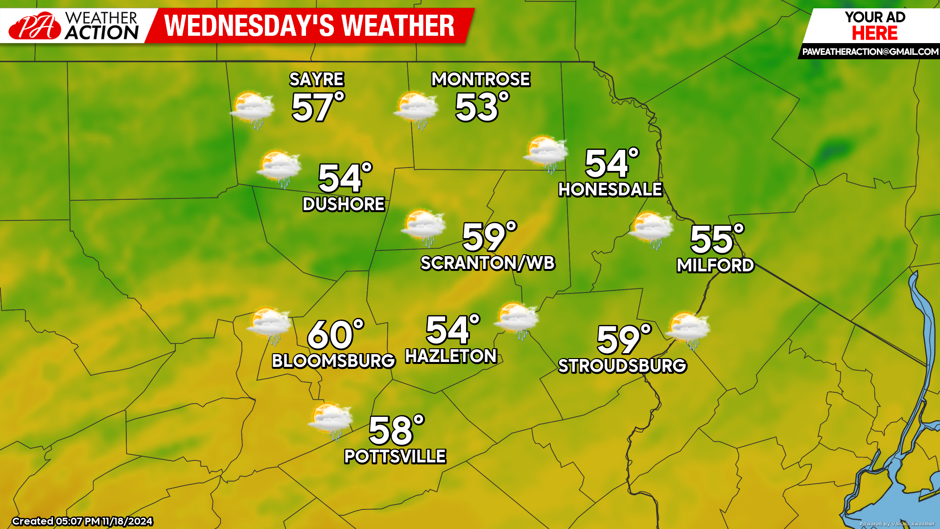
Wednesday will feature increasing clouds as a storm system intensifies as it moves into the eastern Great Lakes region. There could be some light showers or sprinkles during the afternoon as an upper-level disturbance swings eastward toward our area late in the day. That upper-level energy will spawn another surface low off the Mid-Atlantic-Coast Wednesday night to deliver widespread much-needed rainfall after sunset.
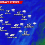
THURSDAY INTO FRIDAY
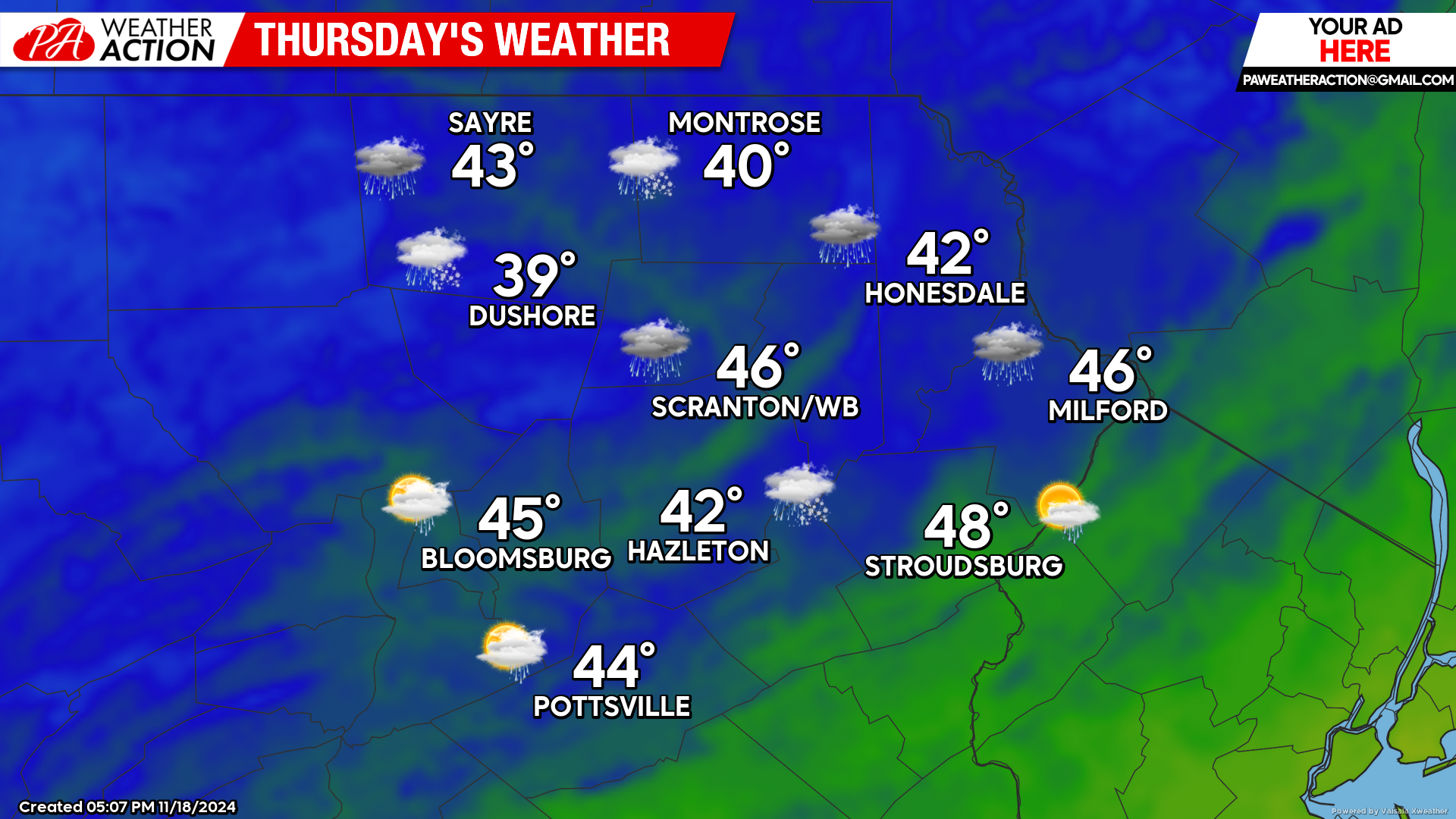
The upper-level energy will congeal into a cut-off upper-level low over our area, resulting in a deep pool of cold air overhead. Wednesday night’s rain will pivot east of our area by morning. Precipitation will then wrap westward across New York and southward into northern Pennsylvania Thursday and especially Thursday night into Friday. This precipitation will likely in the form of snow for the higher elevations, with the first accumulations of the season likely for many locations! The southern locations will be drier (and windier) on Thursday, but mixed precipitation should also rotate southward into those areas Thursday night into Friday. It is too early to predict amounts, but this will be something to monitor this week because if everything goes well, several inches could accumulate by Saturday in the higher elevations, especially near the NY-PA border. Those of you in the southern valleys probably won’t fare quite as well.

You must be logged in to post a comment.