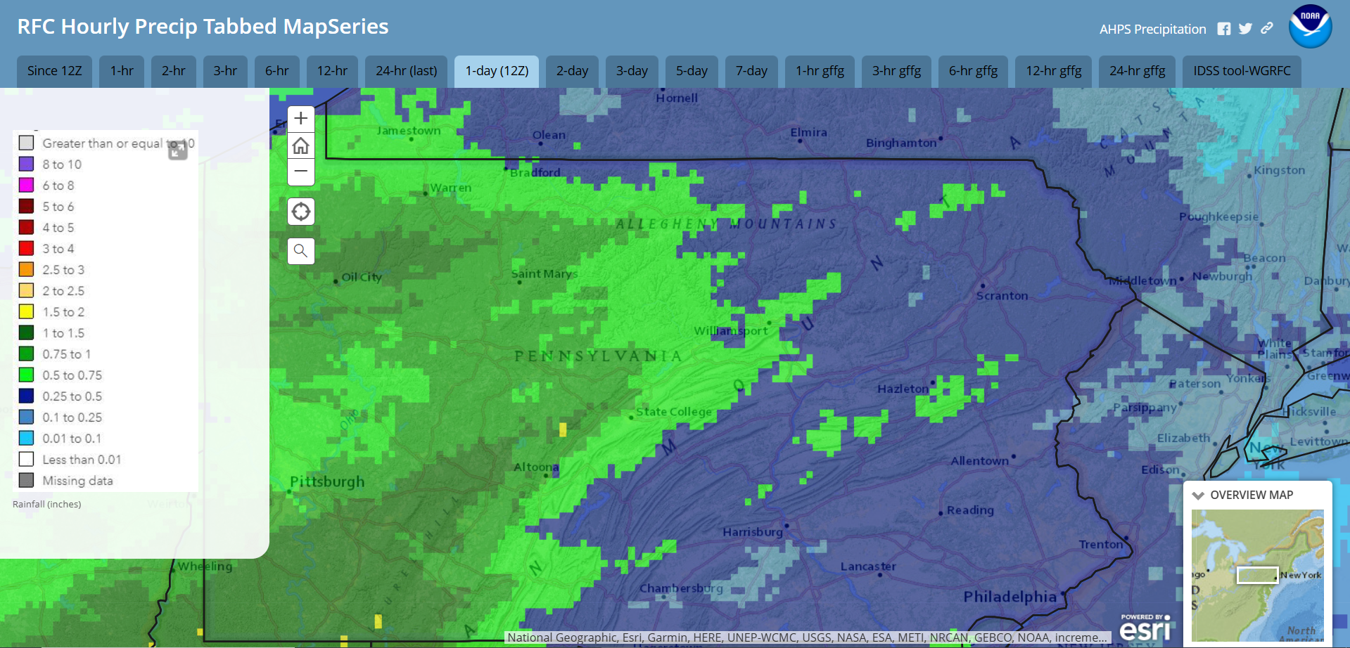
Last night’s much-needed rainfall delivered around a third of an inch of rain across the area. While not a drought-buster, it did help with the numerous brush fires across the region.
24-hour rainfall ending 7am Monday November 11:
After a mild day today with widespread 50s and 60s, a cold front is crossing the region tonight. There could be some gusty showers associated with this front overnight. The front will deliver slightly below-normal temperatures for the rest of this week along with very gusty wind tonight through Tuesday. Another system will bring clouds to our region and even some rainfall later or Thursday.
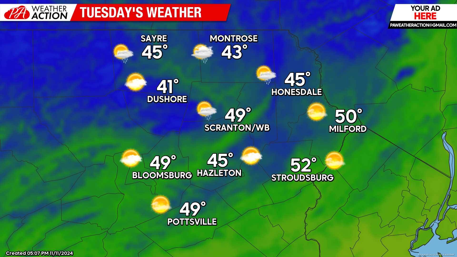
TUESDAY
Gusty wind between 30 and 40 mph will drive colder air into our region, maintaining temperatures in the 40s for most locations, with the southern valleys poking into the lower 50s. Despite recent rainfall, fire danger will remain high, especially with the strong gusty wind. Also be aware that there are many dead ash trees from the Emerald Ash Borer that can snap with only 40 mph wind, which could result in scattered power outages.
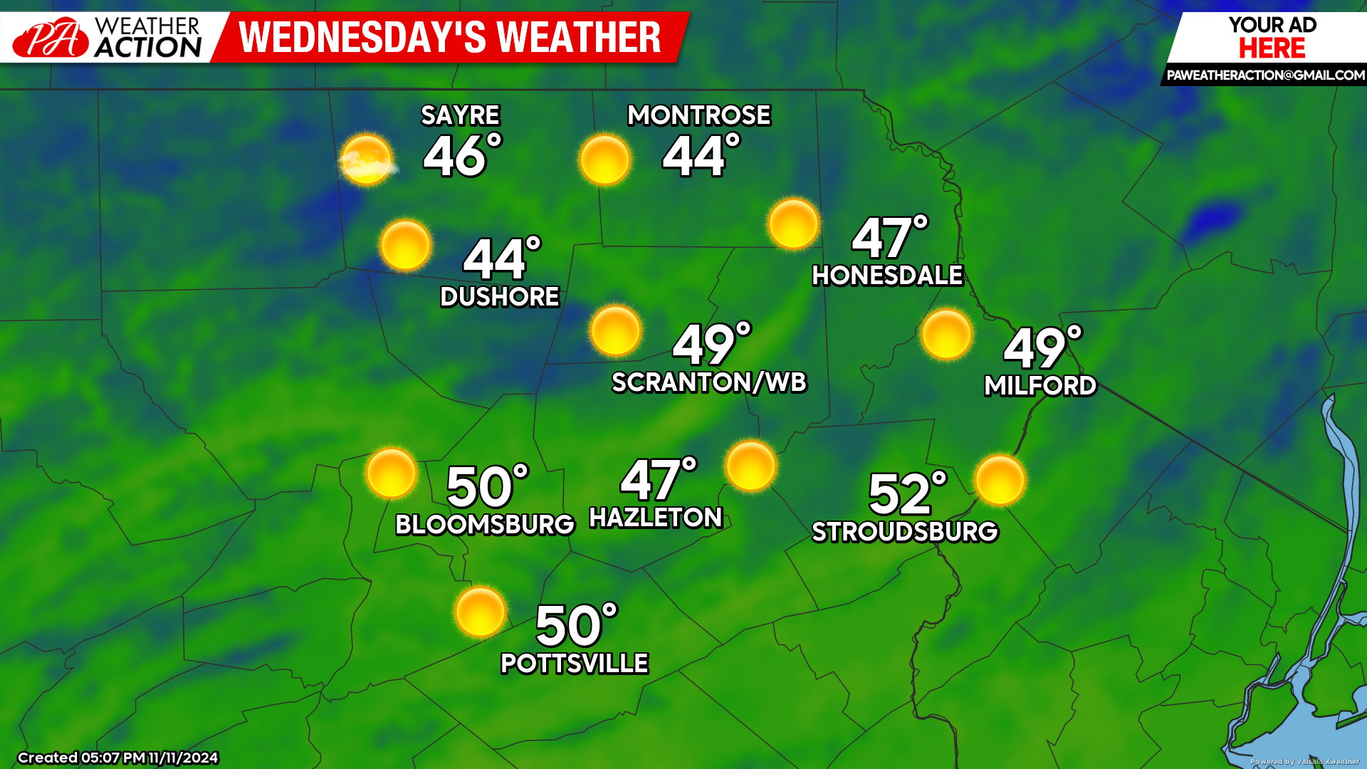
WEDNESDAY
A surface high will move into our area Tuesday night, resulting in widespread 20s by Wednesday morning. The gusty wind will also subside on Wednesday, and ample sunshine will boost temperatures into the upper 40s 40s to low 50s across the region by afternoon.
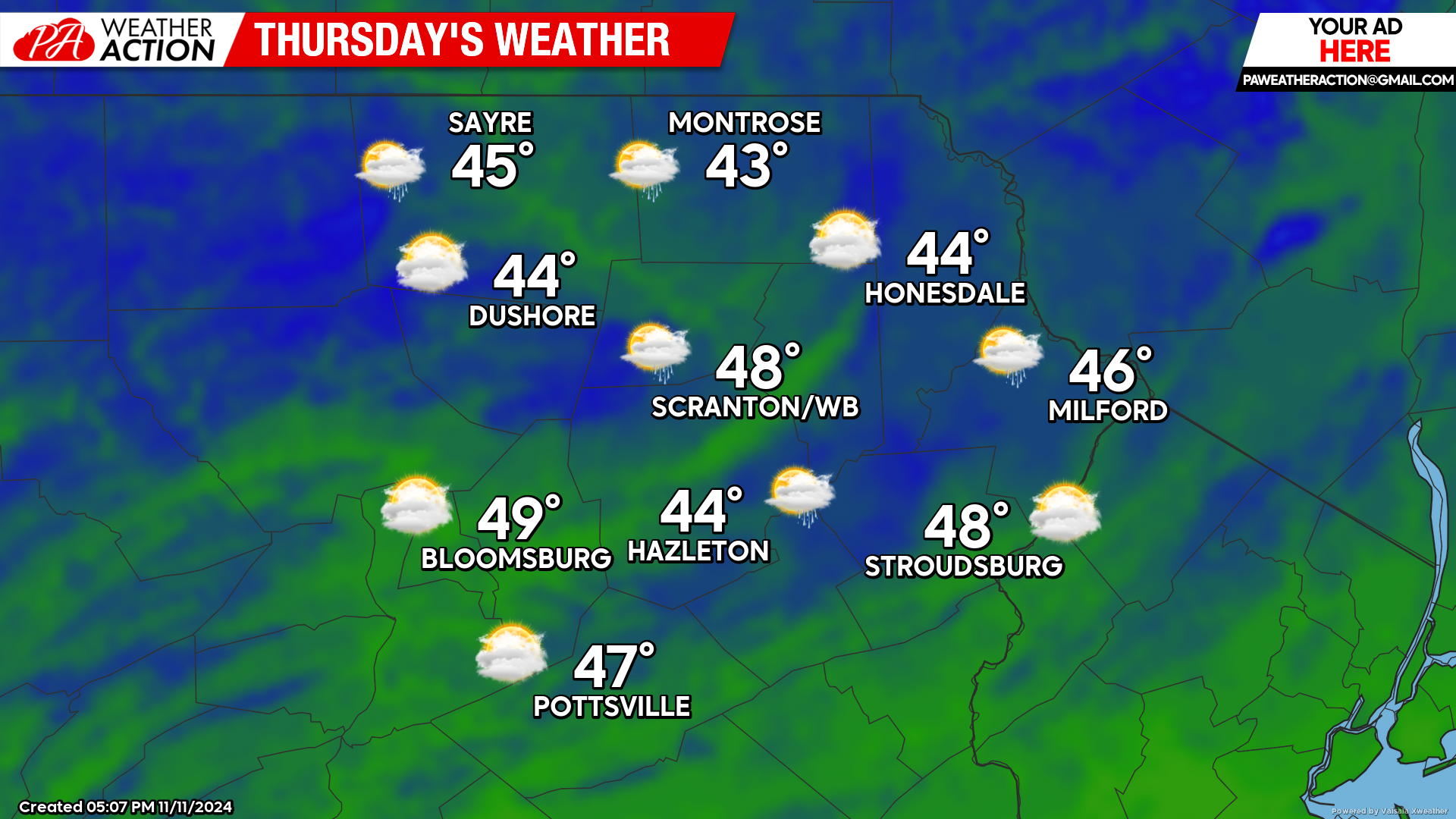
THURSDAY
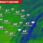
Another system ejecting from the Rockies will spread clouds into our area during the afternoon, along with the opportunity for additoinal much-needed rainfall. Morning temperatures will once again be in the 20s for most locations, with the encroaching clouds holding afternoon temperatures in the 40s for most locations. At this time, rainfall amounts are only expected to be around a quarter to a half inch.

You must be logged in to post a comment.