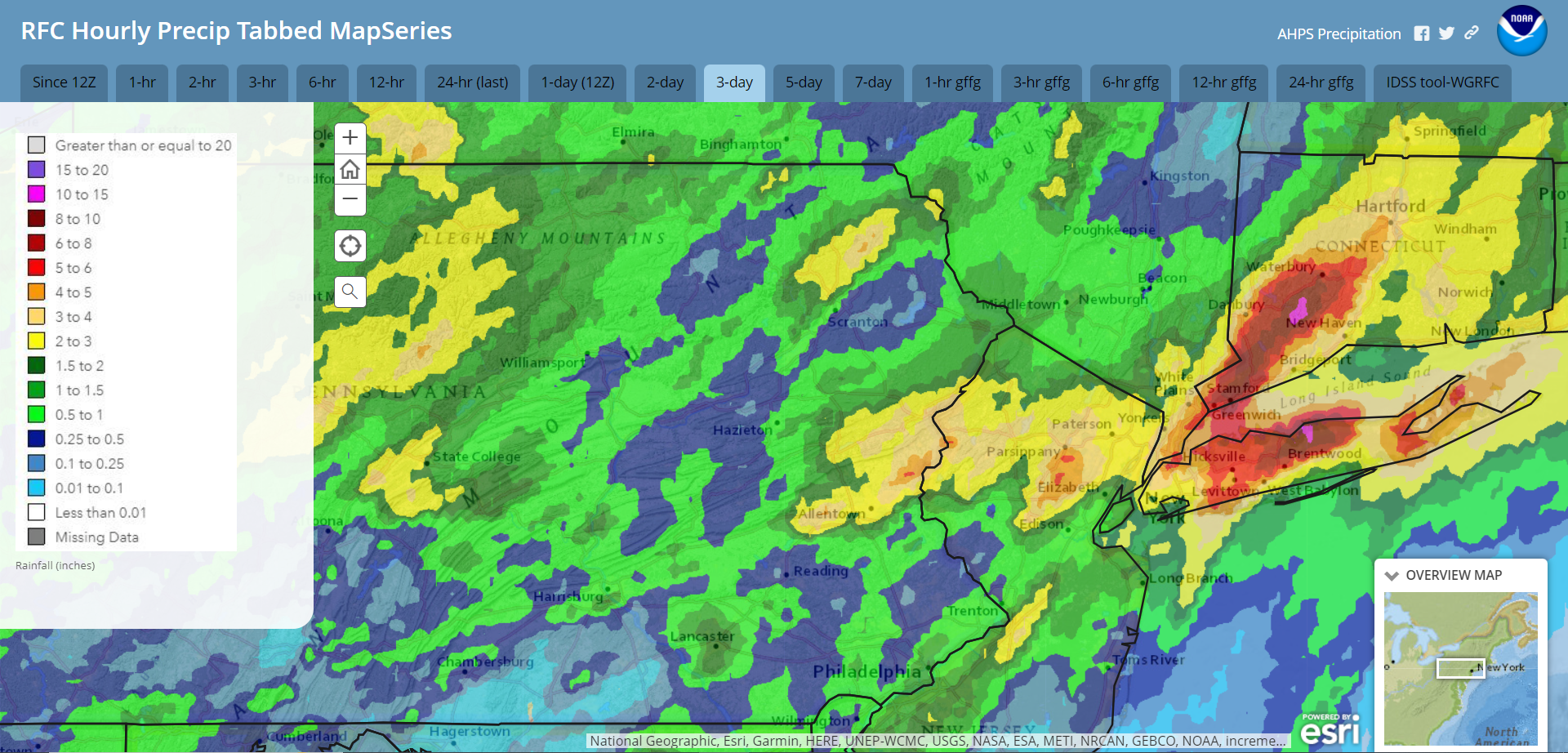
The weekend’s system generated showers and thunderstorms that inundated parts of the area with 3-5″ rain. This resulted in flooding along some of the creeks, but was not widespread enough for river flooding. In a case of the rich get richer, the focus of the rain favoured the same locations as earlier events this month. To see how your neighborhood fared over the weekend, please enjoy the radar-estimated rainfall map for the period of 8am Friday through 8am Monday. Some parts of Long Island and Connecticut received 10″ rain!
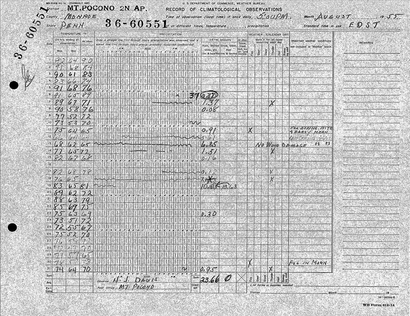
If you are feeling a bit rainy this month, August 1955 brought two back-to-back hurricanes (Connie and Diane), culminating on August 18-19 with the infamous “Flood of ’55”. Parts of the region were inundated with 20″ of rain in just a few days. The resultant flooding unfortunately destroyed towns and drowned scores of people in the area. Here are Mt Pocono’s observations during August 1955:
A cold front will push through the region this afternoon and tonight, delivering September-like weather for the rest of this week. Akin to last week, a pesky upper-level low over New England could inspire isolated showers and thunderstorms to pop through midweek. Overnight low temperatures will drop into the 40s in the normally colder locations, with daytime temperatures a few degrees below normal. Summerlike heat and humidity will return late this week into the weekend.
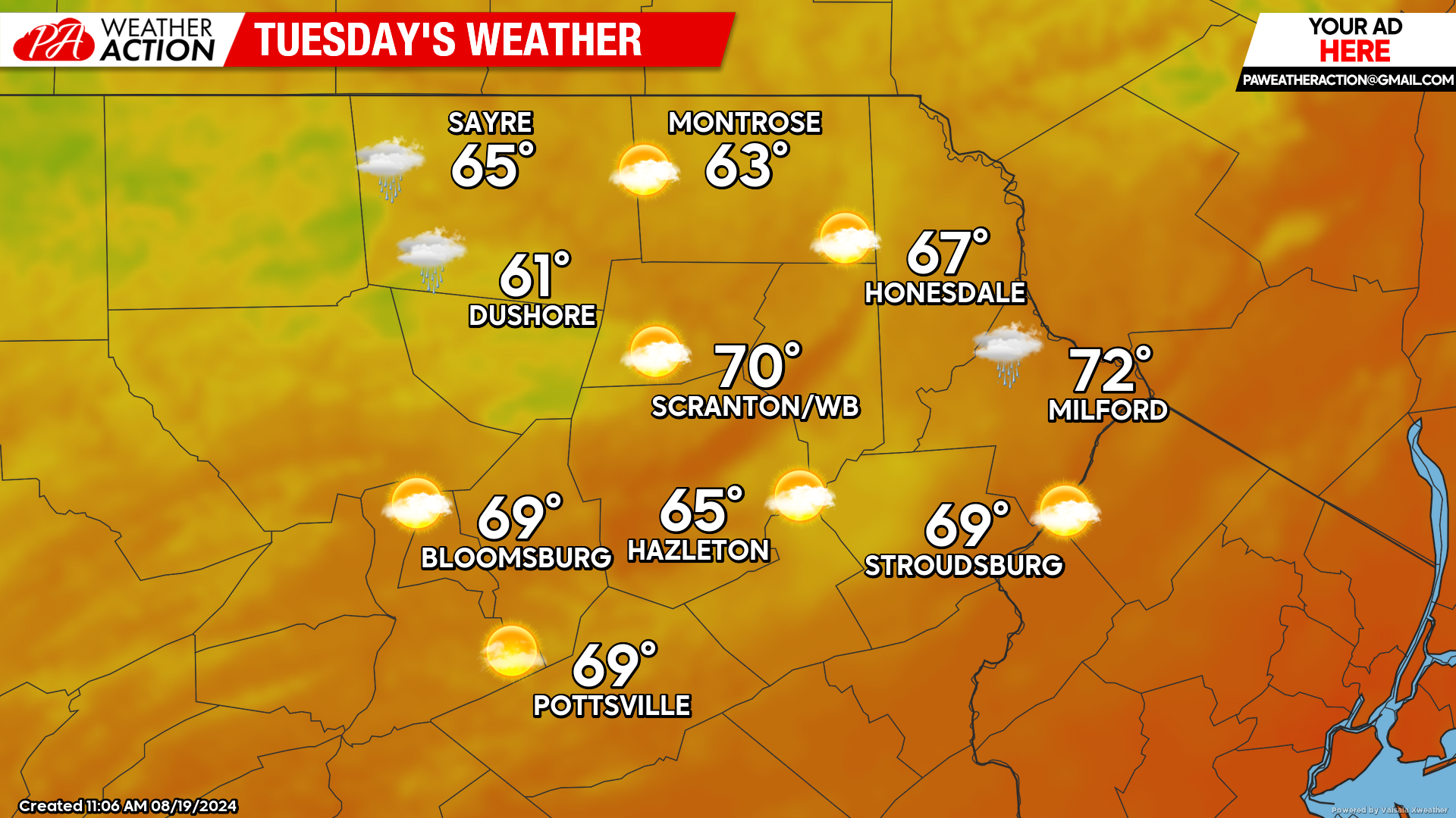
TUESDAY
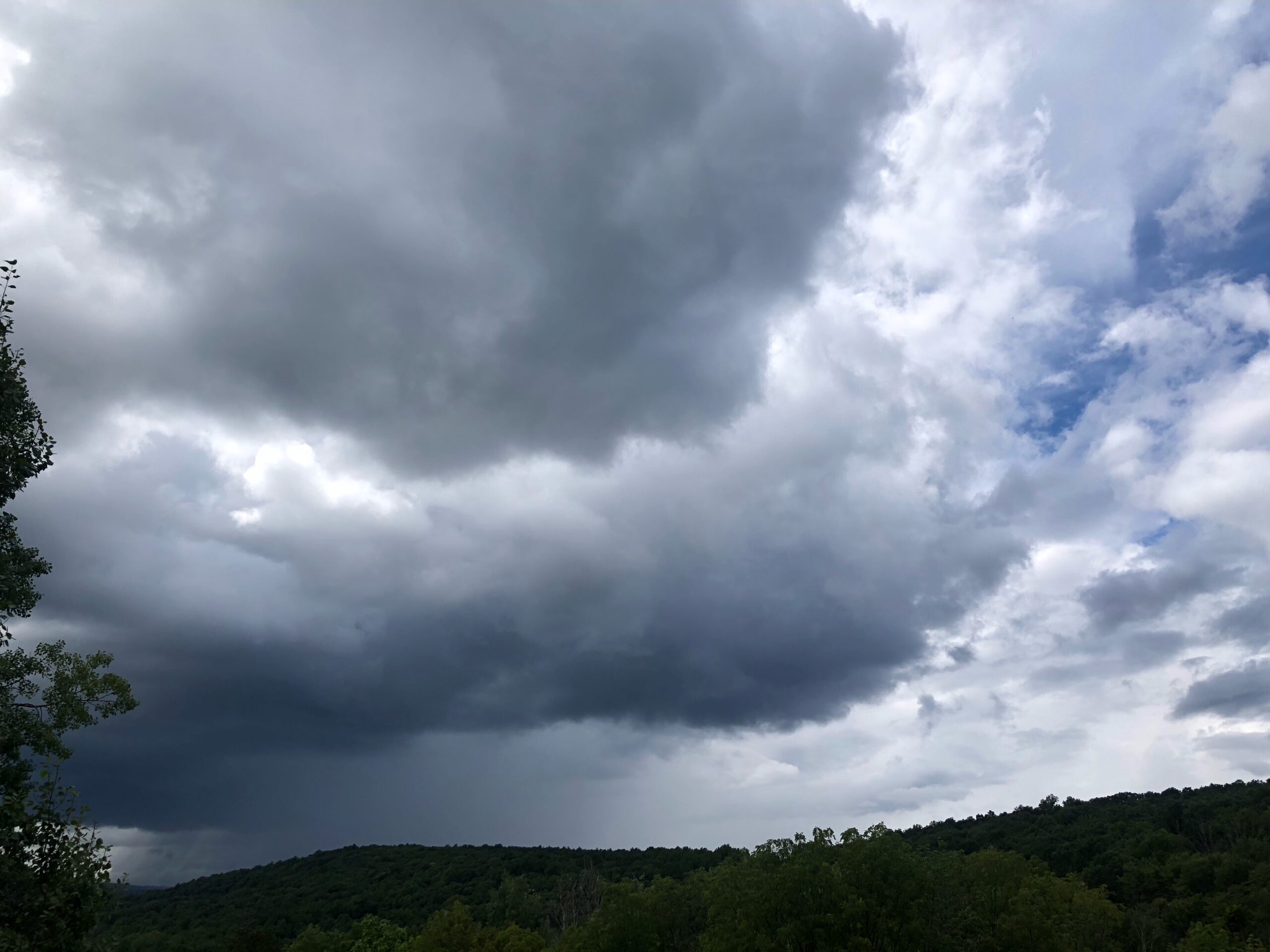
A gusty breeze form the northwest will deliver cooler and significantly less-humid air to our region. Daytime heating will bubble cumulus clouds into the colder upper-level air (courtesy of the aforementioned upper-level low over New England). Isolated showers and thunderstorms could pop, especially across our northern counties. Clouds and any showers that develop will collapse after the sun sets.
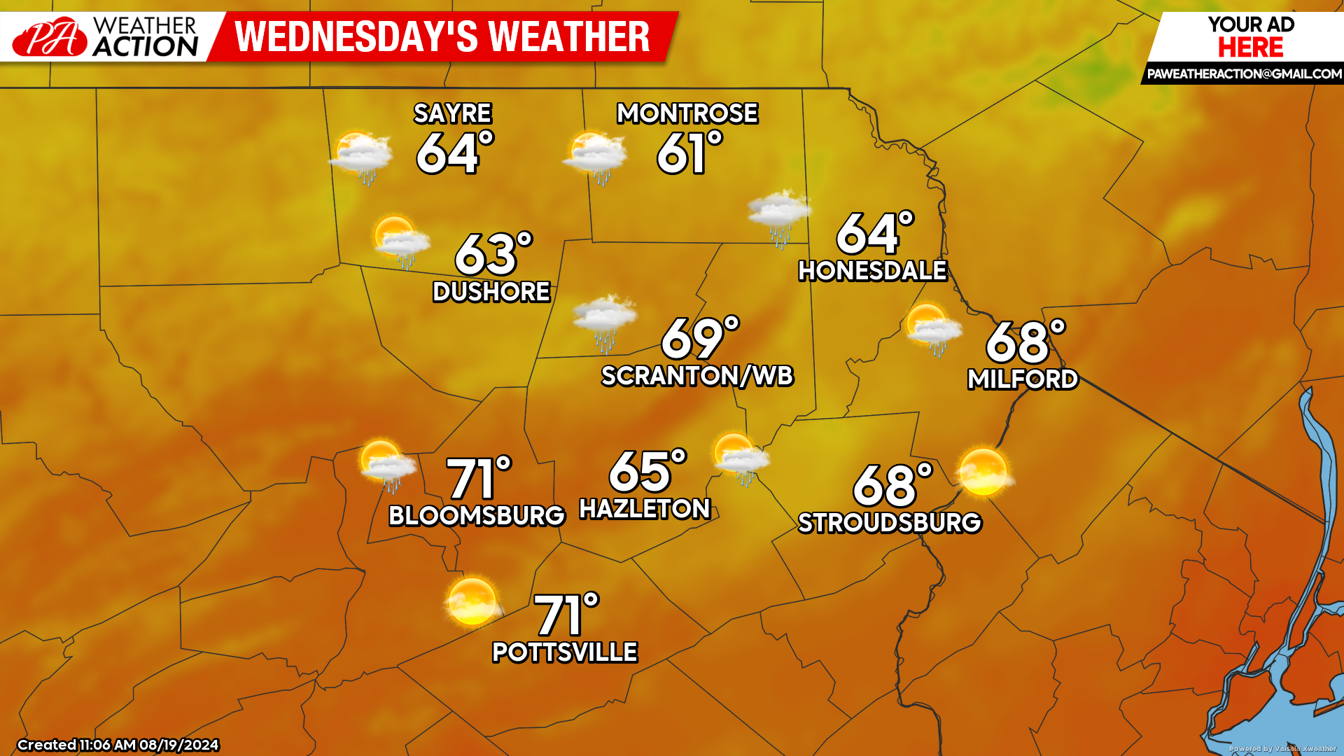
WEDNESDAY
Wednesday will dawn with widespread 40s across the area, providing an early taste of Autumn. Once again, the nearly-stationary upper-level low over New England will inspire clouds and isolated showers/thunderstorms to pop during the heating of the day. Clouds and any showers that develop will collapse after sunset.
THURSDAY
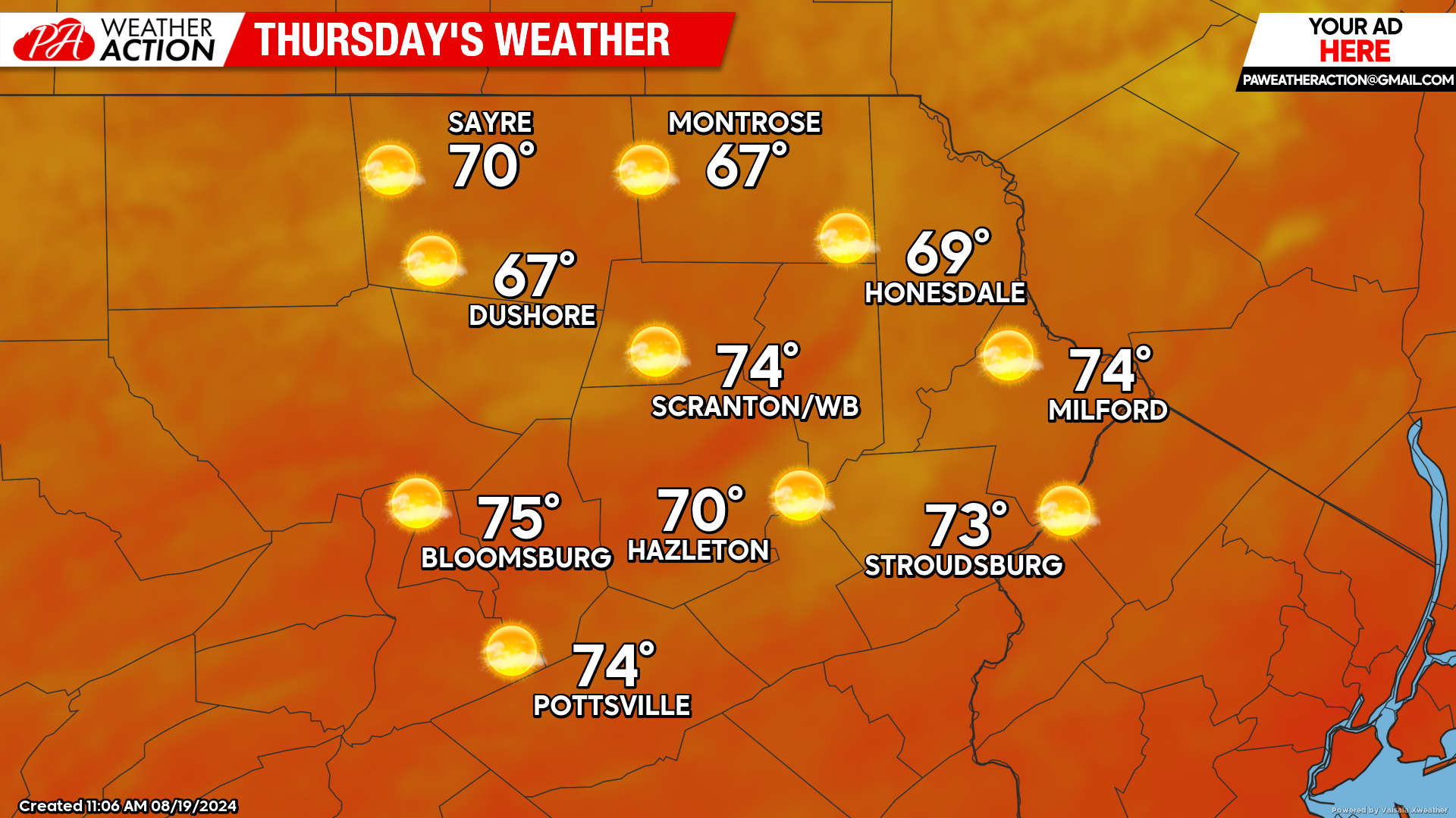
The upper-level low should slowly relinquish control, allowing for sunnier conditions in our area. There will be widespread temperatures in the 40s during the morning, giving that crisp autumnal feel. Afternoon temperatures will reach into the upper 60s to lower 70s with low humidity. Enjoy!
BEYOND THURSDAY (Friday-Sunday August 23-25):
Late this week through the weekend will be dry with increasing temperatures and humidity. High temperatures will reach into the 80s in the lower elevations but likely remain in the 70s in the higher elevations.


You must be logged in to post a comment.