
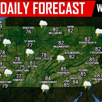
The SPC has labeled much of Central and Eastern Pennsylvania under a Slight Risk Wednesday. Damaging winds will be the primary threat of this event, due to the linear nature of tomorrow’s expected storms. Hail will be possible in more potent features of the line. Now let’s get into the timing of these storms.
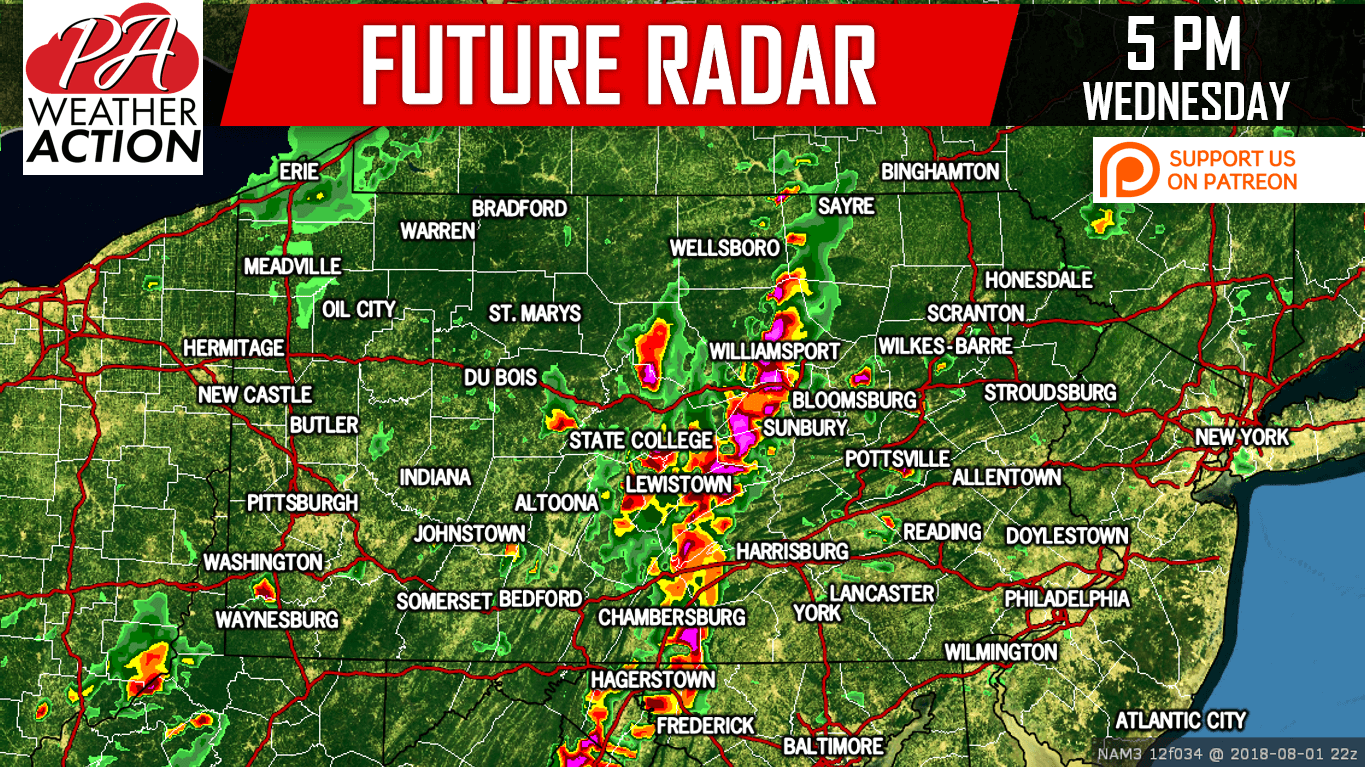
The line will develop over Central PA and Western MD mid-afternoon Wednesday. It will then move east-northeast at around 30 MPH. Localized flooding is a risk, mainly over the Susquehanna Valley. By 5 PM, the line will be near Chambersburg to Williamsport.
Here is the Hi-Res NAM Future Radar for 5:00 PM:
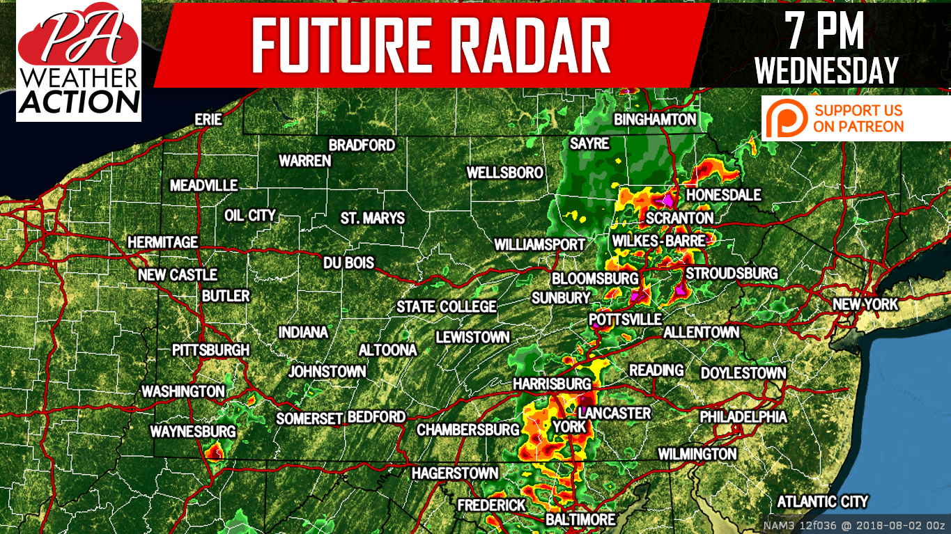
The line will continue to push east-northeast, moving through York, Harrisburg, and Bloomsburg around 6 PM. By 7 PM it will reach the Scranton-WB area, as well as Pottsville, Lebanon, and Lancaster.
Below is the Hi-Res NAM Future Radar for 7:00 PM:
The line segment will begin to lose steam as it pushes into the Lehigh Valley and Southeast PA around sunset. However, some portions of it could still be strong to severe.
WEDNESDAY’S STORM THREAT MAP
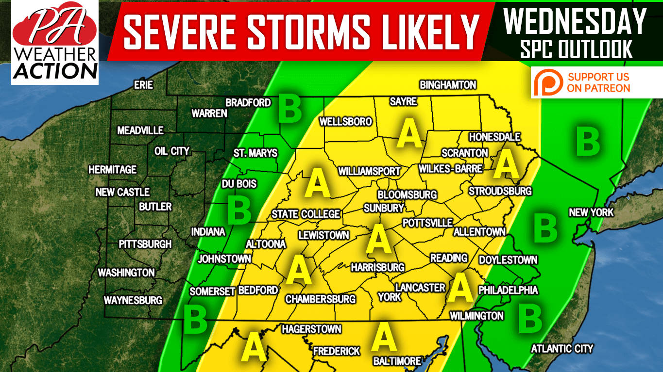
Area A – A line of strong to severe storms is expected to move through late afternoon-mid evening, producing scattered damaging winds of 55-70 MPH, localized flooding, and isolated hail.
Area B – The western section of this area may see scattered strong storms in the early to mid-afternoon as the line begins to develop and strengthen. The eastern portion of this area will see the leftovers of the line, between 9 and 10 PM. We don’t expect too much in the way of severe criteria-meeting storms in this region.
If you appreciate our work, please consider supporting us on Patreon! >>> Our Patreon Page
Be sure to share this severe storm update with your family and friends using the button below!
You must be logged in to post a comment.