Last night a strong line of heavy rain and severe thunderstorms impacted much of central and western Pennsylvania. This line has since weakened and moved out of the area.
For the most part, the radar is quiet this morning before another round of strong to severe thunderstorms is expected later today:
Memorial Day Forecast: 6/10
First and foremost, today is the day we remember the soldiers who paid the ultimate sacrifice serving our country. Thank you for your service.
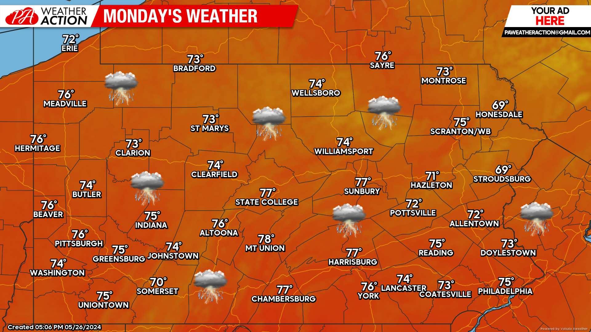
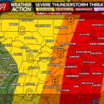
For your Memorial Day forecast, strong afternoon and evening thunderstorms are likely, especially across the eastern third of the state.
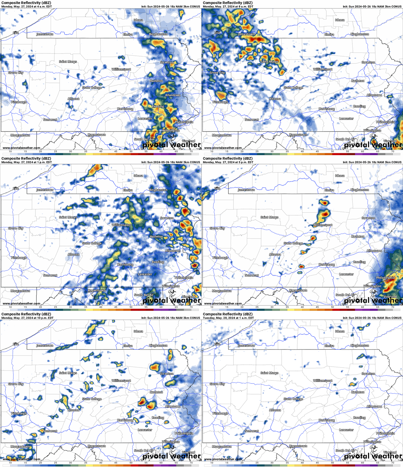
Hi-Res NAM Future Radar Valid Through 1:00 AM Tuesday:
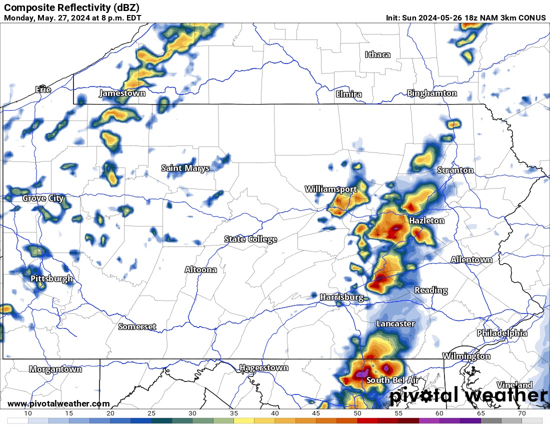
Looking at the future Hi-Res NAM radar below, we can expect another line of strong to severe thunderstorms develop over the area later this afternoon and evening.
These storms have the potential to produce large hail and damaging winds. For reference, the time stamp is in the top left of the graphic below:
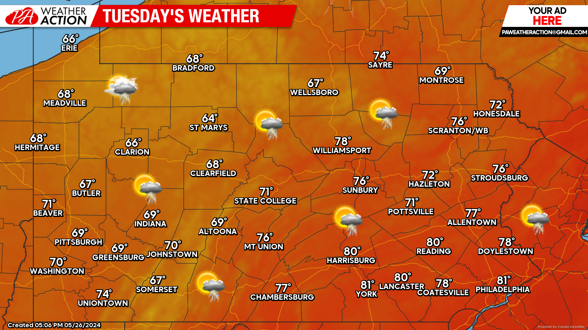
Tuesday’s Weather Forecast: 8/10
Scattered thunderstorms are possible during the day Tuesday. Biggest difference will be the cooler weather that is expected across central and western counties.
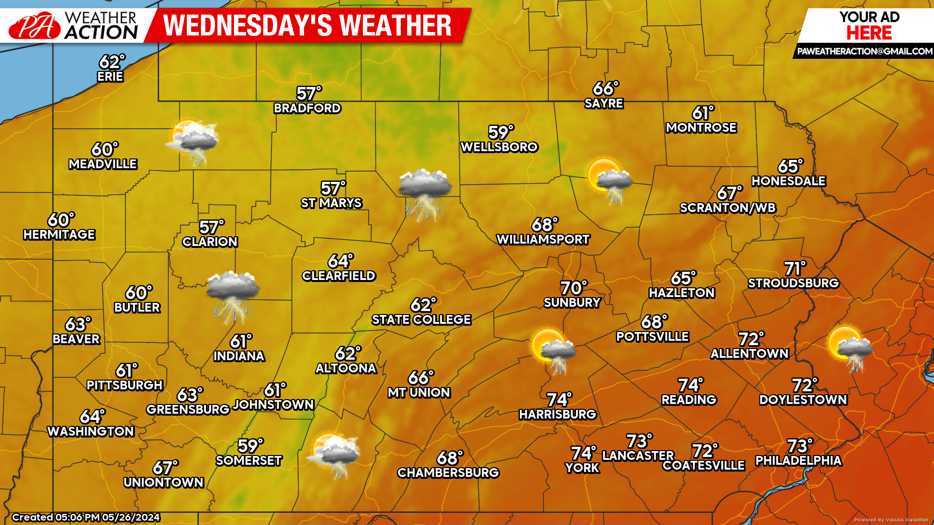
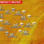
Wednesday’s Forecast: 7/10
More showers and thunderstorms are possible on Wednesday. Temperatures may struggle to reach even 60 degrees for parts of the state!
Peak into the Weekend:
A very early look into this coming weekend looks dry as of now. Lets keep our fingers crossed! More updates to come throughout the week.

You must be logged in to post a comment.