Good morning everyone, after a couple of long days and nights of multiple rounds of severe weather, we do it all over again the next two days with more rounds of severe weather as storm season starts to slow down.
Tuesday’s Severe Weather Outlook
A slight chance of severe thunderstorms for MN and the Northern Missouri Valley with severe wind gusts and large hail later this evening. Another area of severe storms in SE OK and the Mid South with severe winds this afternoon are expected. Please see SPC threat map.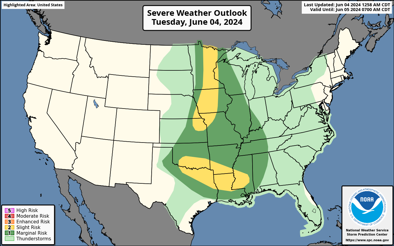
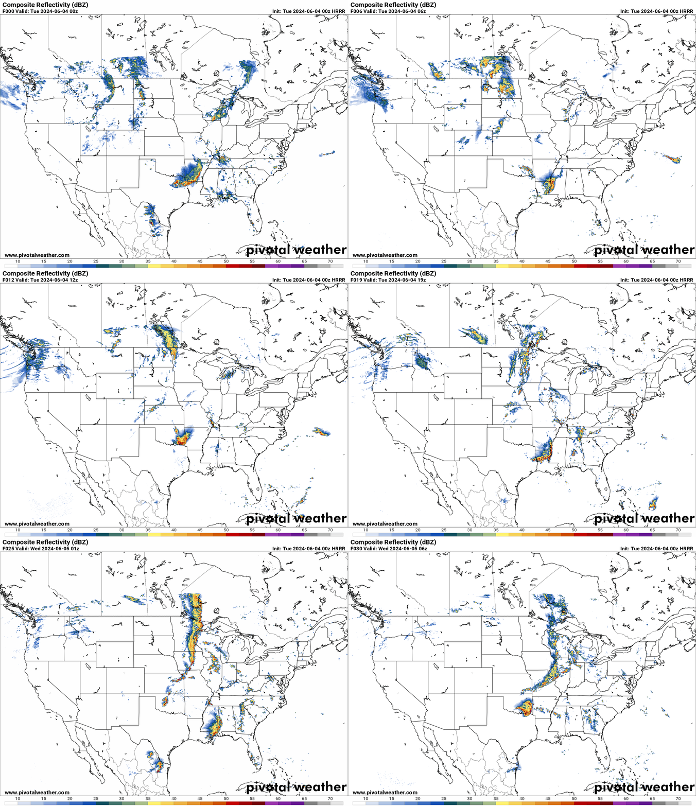
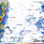
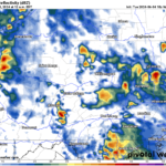
HRRR Future Radar Loop for Tuesday
A MCS is expected to develop in SE Oklahoma this afternoon and move into the Mid South. This will bring a cluster of storms with severe winds being the main threat.
A cold front will move East this evening into MN and the Northern Missouri Valley. This will bring severe wind gusts and large hail with it.
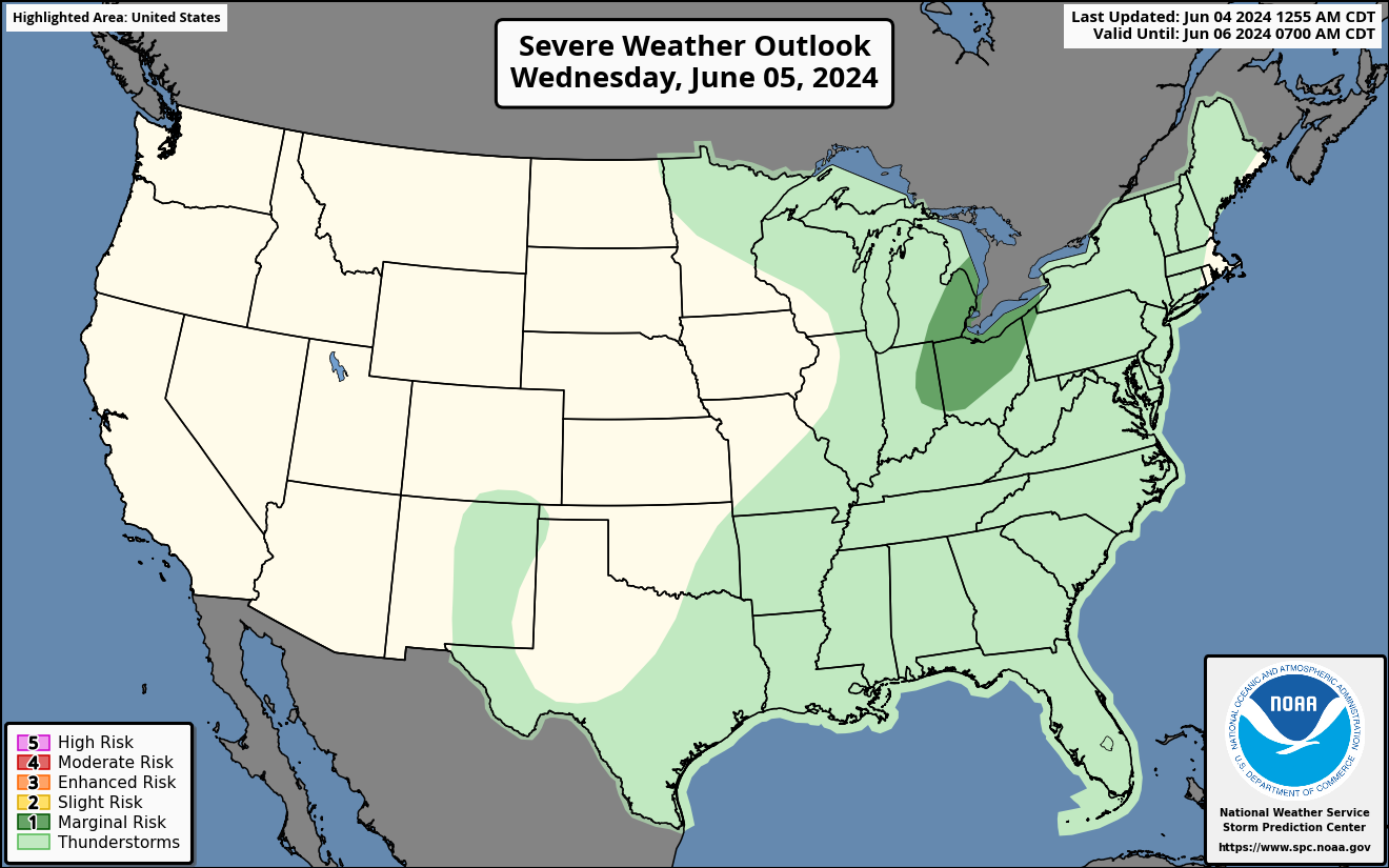
Wednesday’s Severe Weather Outlook
A marginal risk of severe weather for the Upper Midwest with damaging winds and large hail.
A cold front will move East towards the Upper Midwest bringing severe thunderstorms on Wednesday. See SPC risk map.
Stay tuned for any new updates.

You must be logged in to post a comment.