What may be the final thunderstorms of 2017 will move through the state tonight. A line of storms will enter Western PA by mid-evening, moving east through the night. By Tuesday Morning, the line will reach Eastern PA.
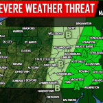
The Storm Prediction Center has placed much of Eastern PA under a Marginal and Slight Risk. The main threat will be damaging winds, as this line is associated with a strong cold front that will significantly bring down temperatures for the rest of the week.
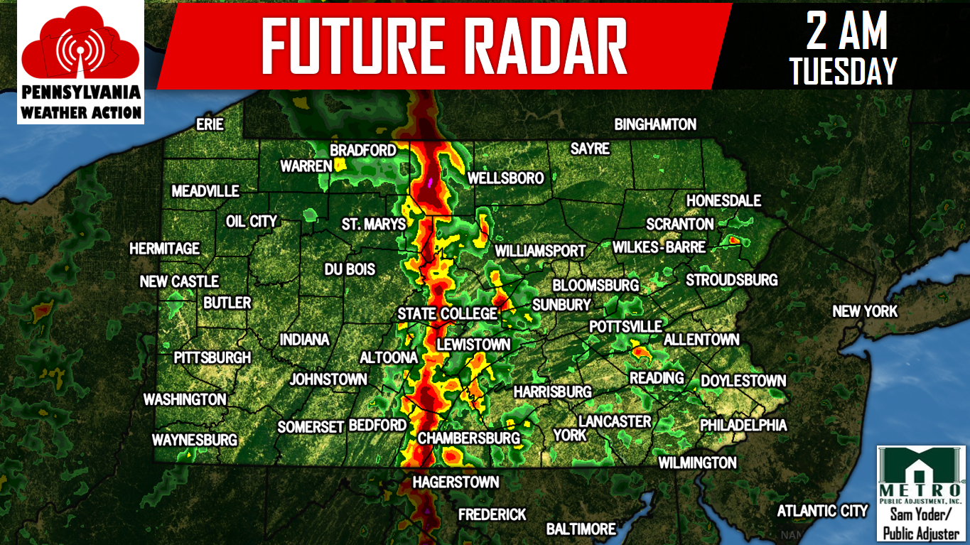
Here is our Future Radar for this evening, tonight, Tuesday morning and early afternoon.
Areas such as Pittsburgh and Johnstown will see the line of storms by 7-10 PM this evening. Locations in Central PA such as State College, Chambersburg, and Harrisburg will encounter this line by 3-6 AM Tuesday. By mid-morning Tuesday, the line of storms will reach Eastern PA.
Winds of 35-55 MPH are expected with this line. We recommend bringing anything that could easily blow such as Halloween Decorations away inside. After this, temperatures will take a dive. Share the stormy forecast using the button below!