For anyone that has not experienced all four seasons of weather in one week, welcome to Pennsylvania! This week will be just that. First, a look at the latest radar below:
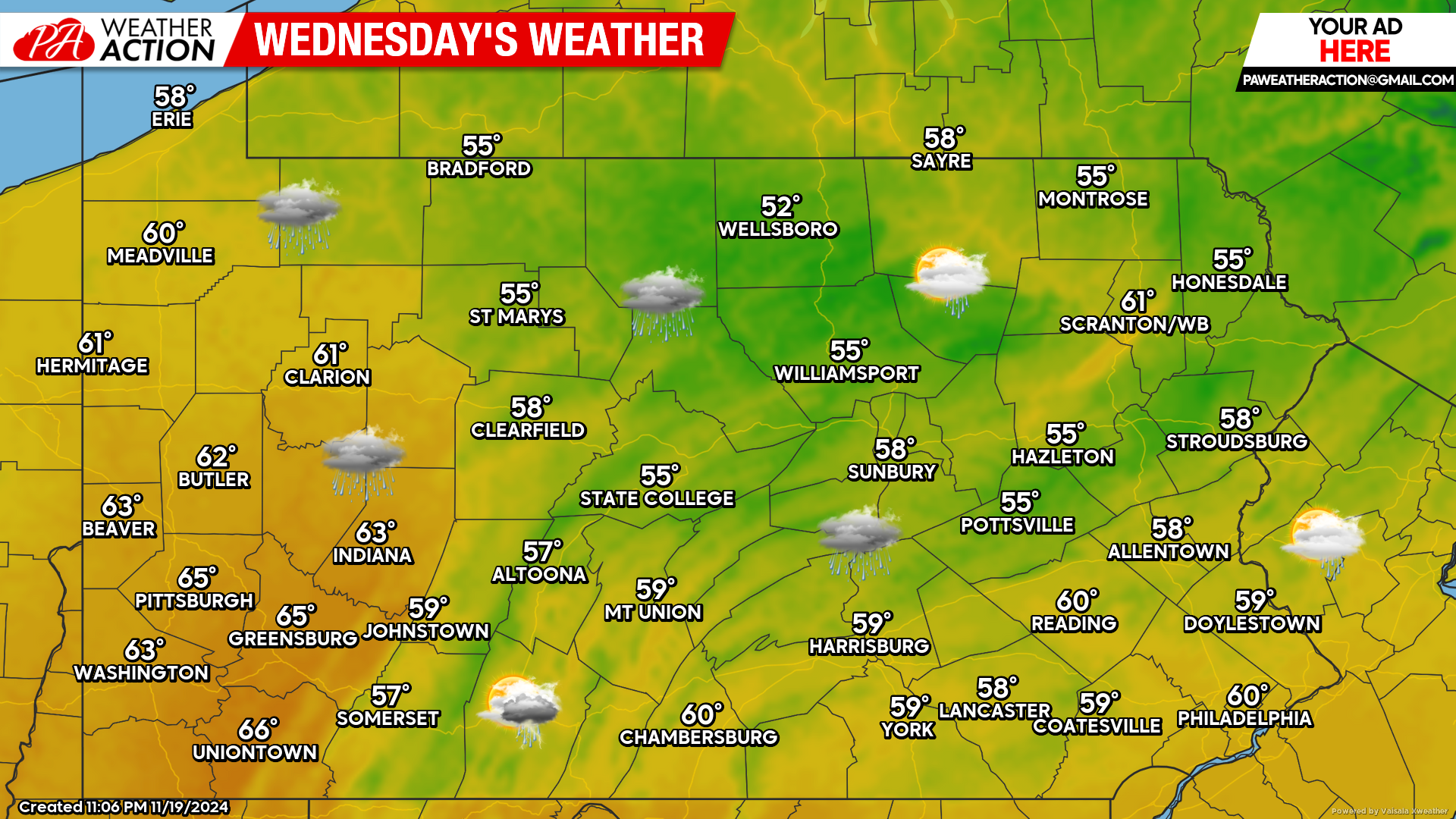
Today’s Weather Forecast: 5/10
Rain showers are expected today with embedded strong thunderstorms as a cold front pushes through. Temperatures will be in the 50s and 60s across the state.
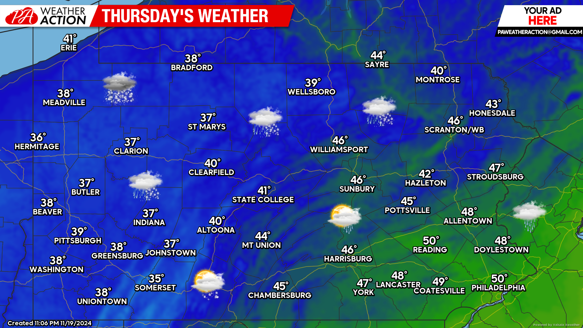
Thursday’s Weather Forecast: 4/10
Temperatures will crash Wednesday night behind the cold front, setting the stage for a mix of rain and snow across much of the state Thursday. The snow will likely begin to accumulate across the state’s higher elevations heading into Thursday evening.
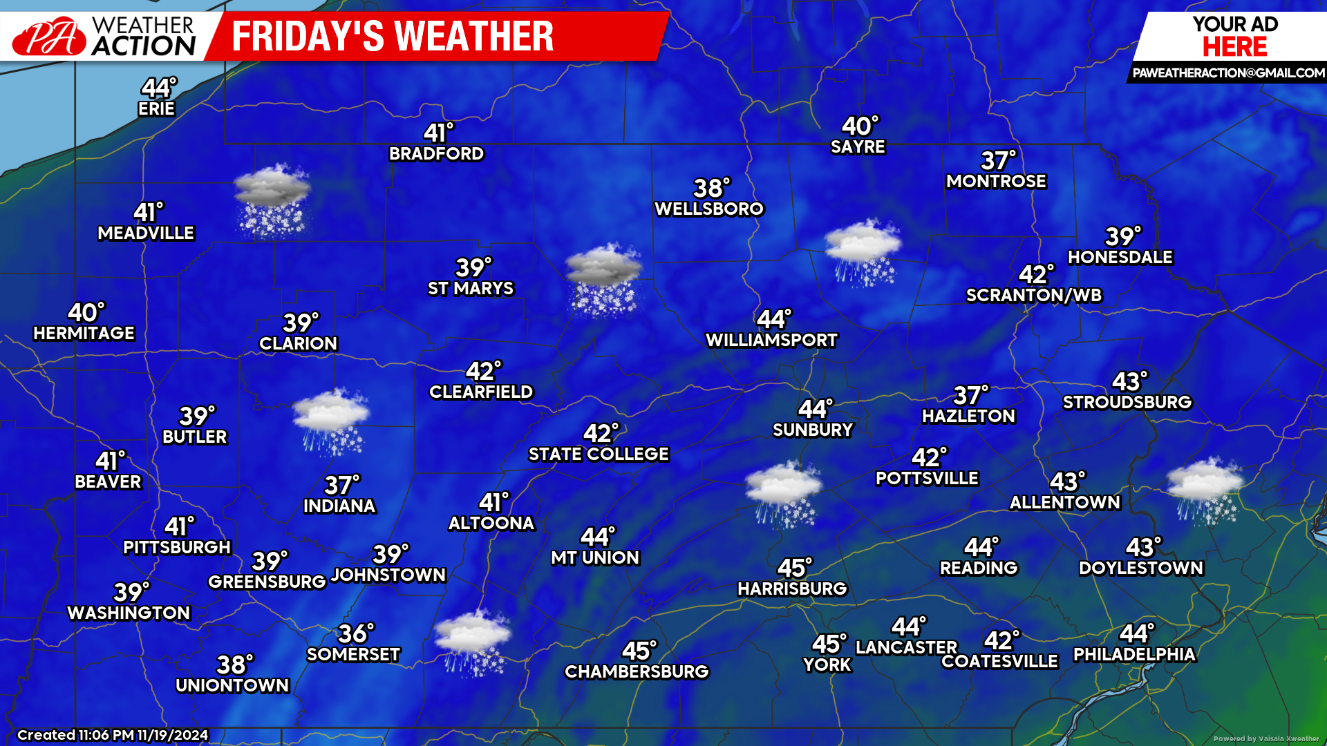
Friday’s Weather Forecast: 3/10
Friday will be the coldest day of the season so far. Heavy, wet snow is likely across the Poconos and other high elevations in Northeast PA early Friday morning. Elsewhere a mix of rain and snow is expected with temperatures in the 30s and 40s.
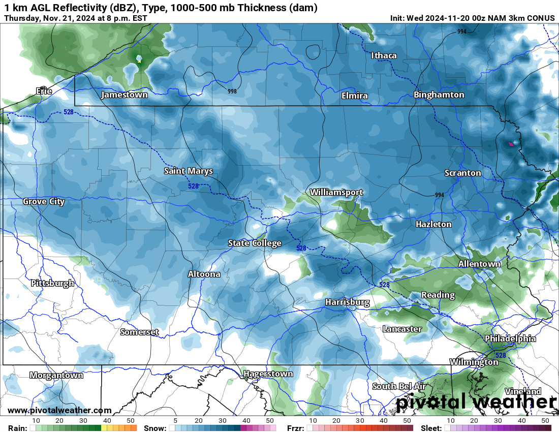
Hi-Res NAM Future Radar Valid 8:00 PM Thursday Night:
Below is a look at the latest Hi-Res NAM model showing the potential for widespread snow and rain showers tomorrow evening. While this particular model might be a bit aggressive in terms of the snow, it paints the general idea that this storm will be significantly elevation dependent.
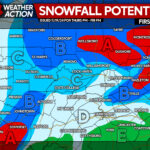
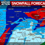
Yesterday evening we posted an in depth look at our first look at snowfall totals for this upcoming storm. If you missed it, click below:
Stay tuned for our updated forecast later this evening!
Early Season Snowfall Potential Thursday Evening into Friday in Pennsylvania

You must be logged in to post a comment.