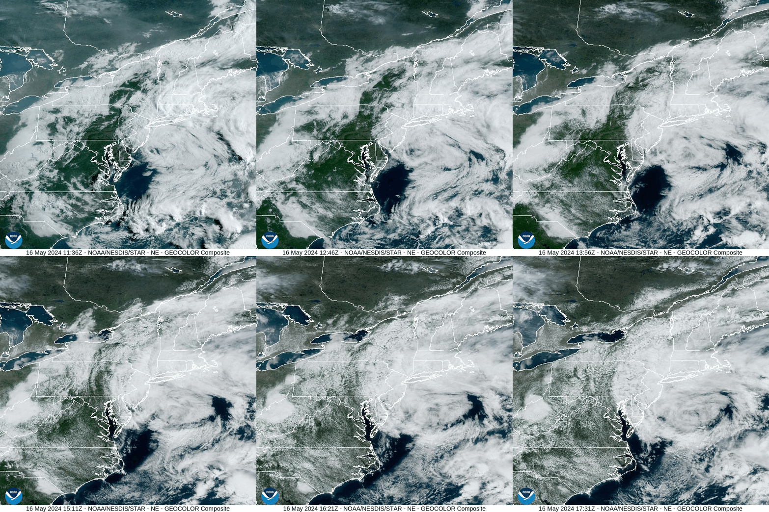
An area of low pressure currently lurks just off the Atlantic Coast and is spiraling low clouds and some light showers westward into the eastern parts of our area. That system will slowly drift into the Atlantic Friday, allowing for breaks in the clouds and warmer weather for Friday.
FRIDAY
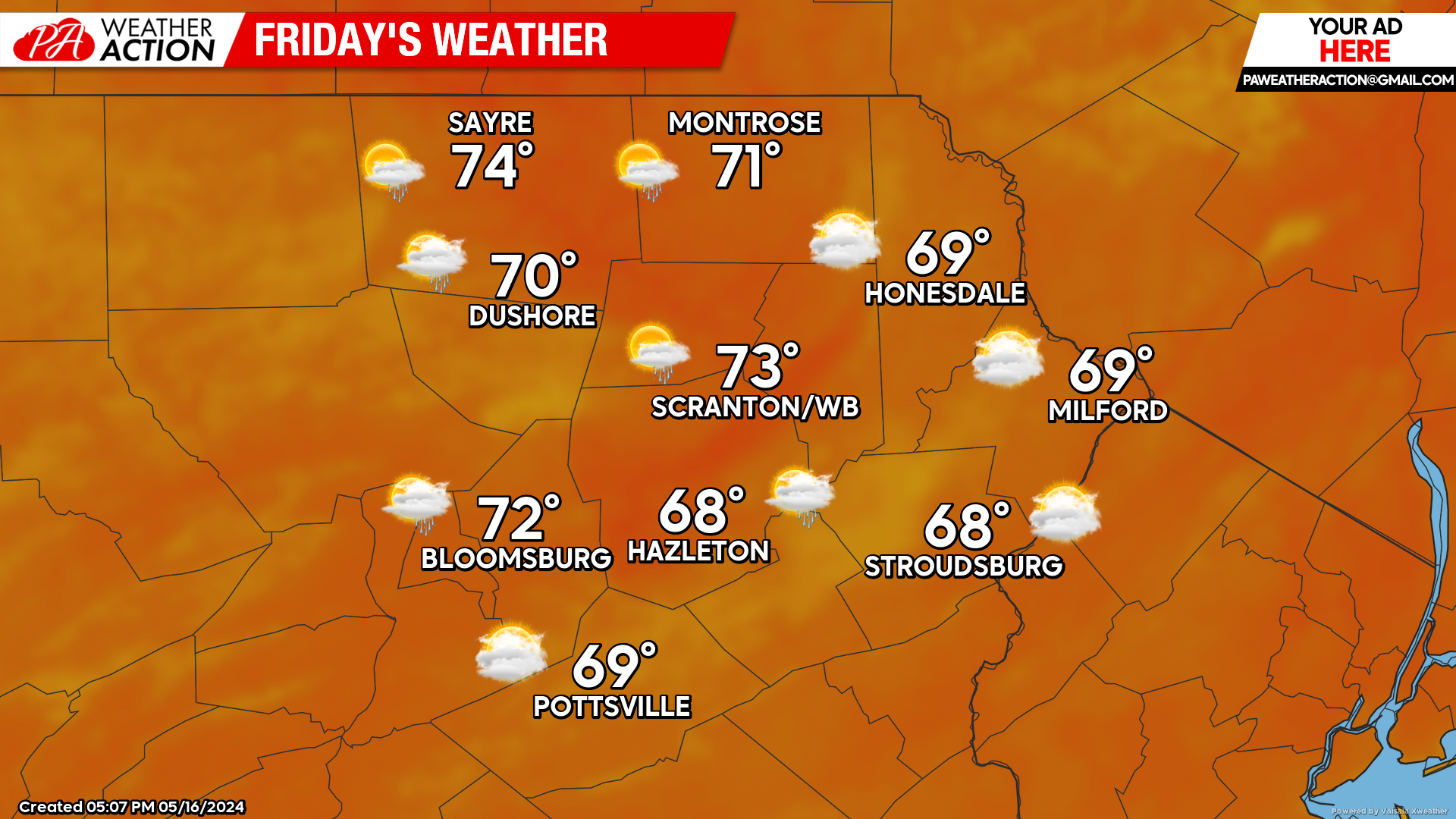
As the onshore flow and clouds abate, our area will enjoy widespread high temperatures near 70. While there will be partly cloudy skies much of the day, clouds will increase from the west during the afternoon as yet another system will approach from the west.
The eastern counties will remain partly sunny through sunset. Meanwhile, the approaching system will spread showers across western and central Pennsylvania by sunset, and all of our area overnight Friday night.
SATURDAY
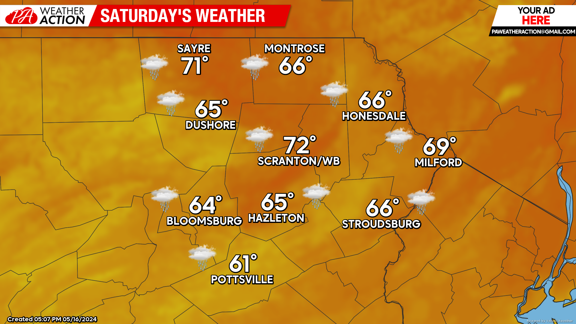
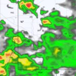
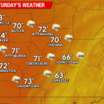
Saturday will feature cloudy conditions with widespread showers all day. This will hold temperatures in the 60s. The showers will subside Saturday night into Sunday morning.
SUNDAY
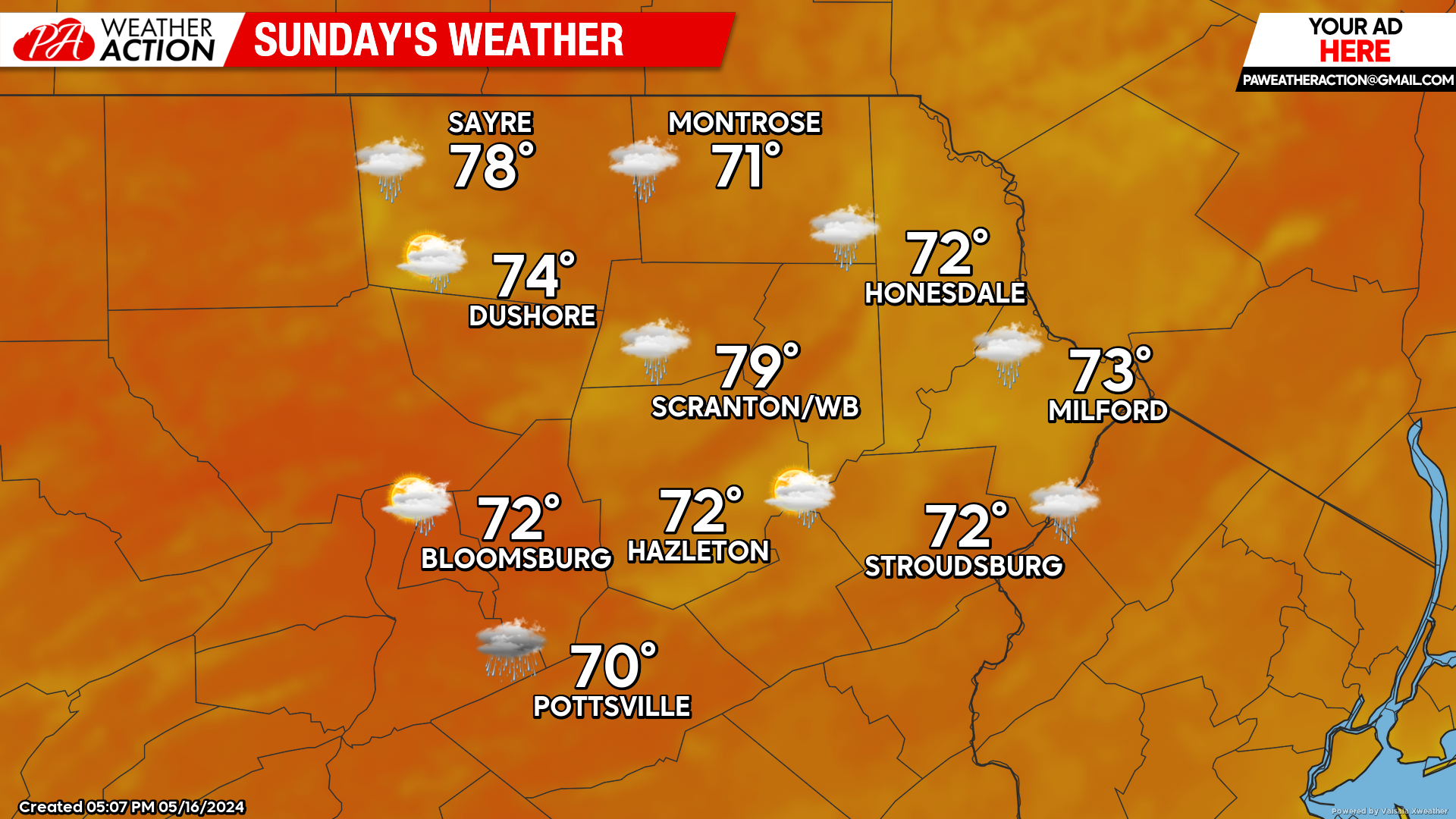
The zone of showers will slide to our south and east during the day, resulting in partial clearing and temperatures rebounding into the 70s. For those of you heading south of the Mason-Dixon Line into Virginia and Maryland, cooler weather with showers will persist there.
BEYOND SUNDAY (Mon-Wed May 20-22)
Early next week will feature a nearly-stalled cut-off low lurking just off the Southeast Coast, maintaining below-normal temperatures for that area. Meanwhile, a cold front will push eastward through the Great Lakes Mon-Tue and approach our area Wednesday.
Being that we will be between those systems, we will get to enjoy a well-deserved stretch of sunshine and above-normal temperatures for Monday-Wednesday. That cold front will generate showers and thunderstorms for our area Wednesday, with below-normal temperatures moving into the Great Lakes behind that front.

You must be logged in to post a comment.