
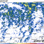
A cold front is currently pushing eastward through our area this evening, inspiring several batches of thunderstorms to move through the region. As that front exits our area tonight, the opportunity for showers will subside.
Cooler and less-humid air will move into our area behind the front overnight. Meanwhile, an upper-level low will stall just to our north in southeastern Canada through this weekend. Numerous disturbances will rotate around that low and deliver several opportunities for showers and thunderstorms through this weekend.
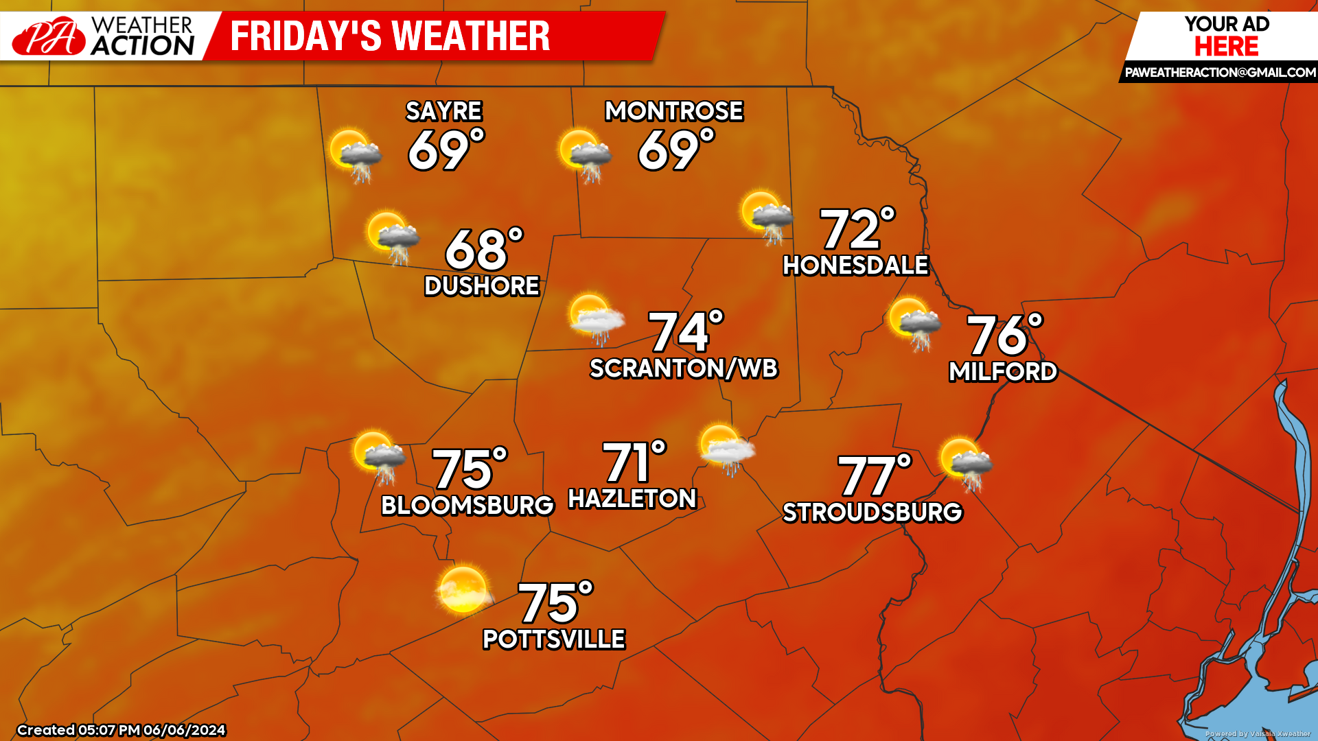
FRIDAY
Friday will feature lower temperatures and lower humidity. There will be scattered random showers popping during the afternoon from the solar heating bubbling upwards into the cold upper-level air, but not everyone will be fortunate enough to enjoy one. As the daytime solar heating subsides, those showers and thunderstorms will also subside Friday night.
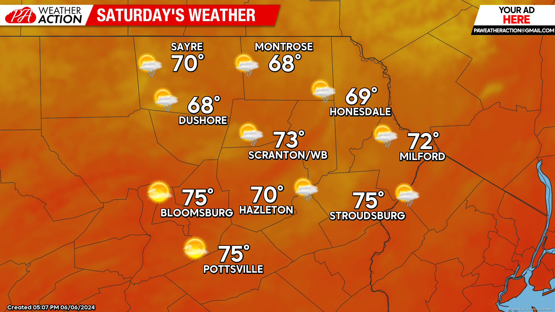
SATURDAY
Most of Saturday will be rain-free in our area. An upper-level disturbance will move through the Great Lakes during the day, and across our area later at night. This disturbance will bring the opportunity of more-widespread showers Saturday afternoon into Sunday.
SUNDAY
The disturbance moving through Saturday night should move to our east by midday. However, the upper-level low will remain over southeastern Canada, thus prolonging the opportunity for some showers or thunderstorms into the afternoon and evening.

You must be logged in to post a comment.