
An upper-level trough is positioned over the Great Lakes / Mississippi River. This trough is pulling a deep moisture plume northward into our region. Numerous upper-level disturbances imbedded within this trough will trigger rounds of thunderstorms and heavy rain throughout this week.
One of those upper-level disturbance is currently generating slow-moving thunderstorms with heavy rain that will impact our region through early Tuesday morning. Some locations could experience over 2″rain.
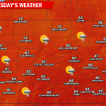
TUESDAY
Most of tonight’s thunderstorm activity will end by sunrise. As the upper-level disturbance exits to our northeast, most of Tuesday should be dry. Another disturbance will approach our area late in the day, increasing the opportunity for showers in the evening and overnight.

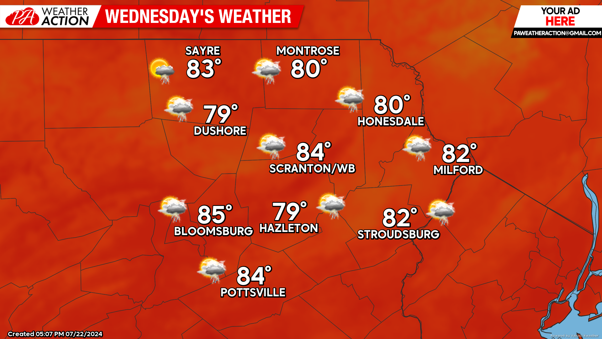
WEDNESDAY
Wednesday will be another very humid day with the opportunity for thunderstorms and locally heavy rain.
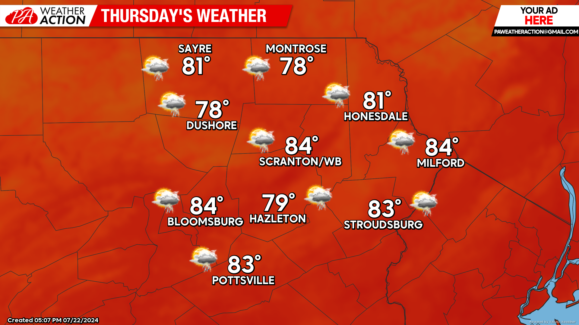
THURSDAY
Humid conditions will continue, along with the opportunity for scattered thunderstorms and locally heavy rain.
BEYOND THURSDAY (Fri-Sun July 26-28)
The upper-level trough will shift eastward and deliver less humid air to our area, along with dry conditions. Max temperatures will be in the upper 70s to near 80 in the higher elevations, to the mid 80s in valleys.
You must be logged in to post a comment.