
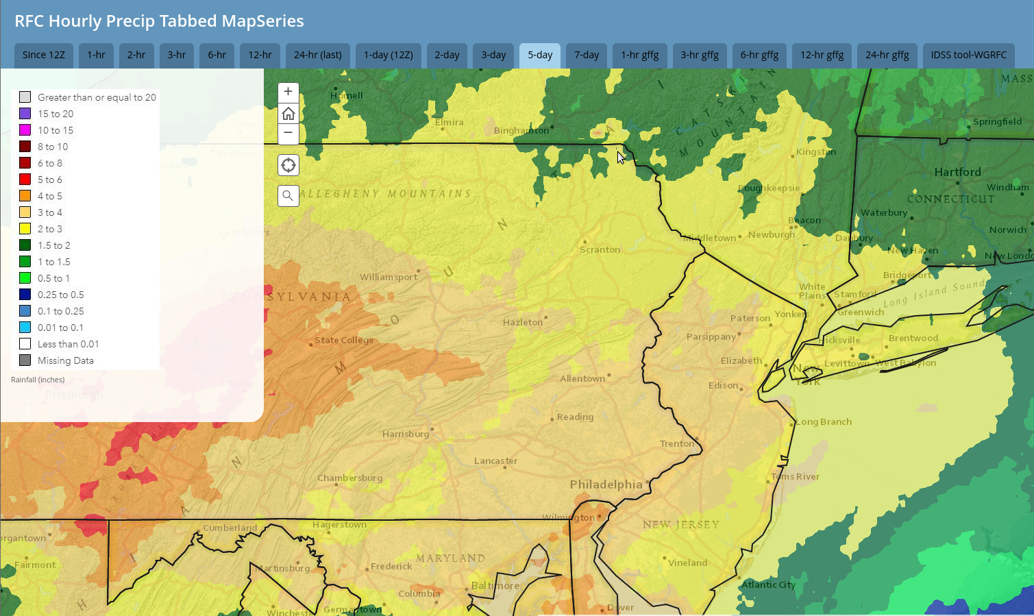
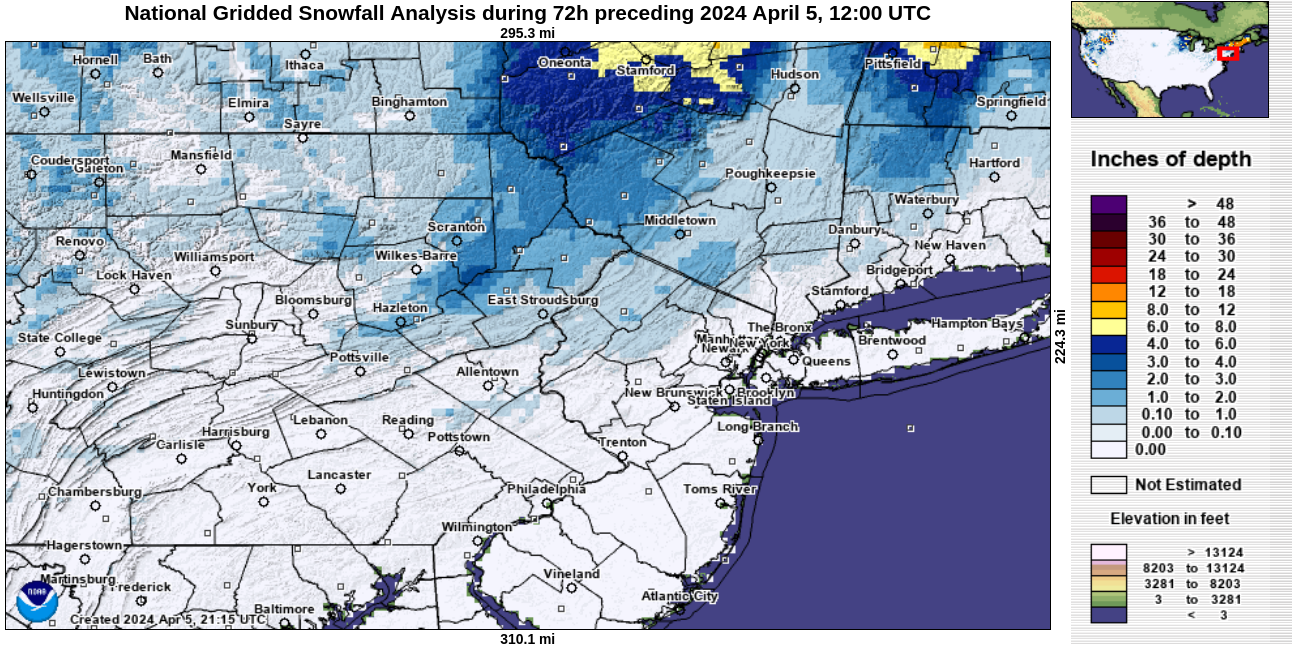
This week’s storm brough heavy rain, power-disrupting wind, and accumulating snow. Rainfall amounts for the week were generally 1-3″. Most areas received 1-3″ snowfall, with the exception of the lower elevations in the southern part of our area.
And then the week culminated with a very-rare 4.8 earthquake along the Ramapo fault system in NJ, with the epicenter near Lebanon NJ. Multiple aftershocks occurred this afternoon, including a 4.0 aftershock around 6pm. Both the initial earthquake and the 4.0 aftershock were felt in parts of our area!
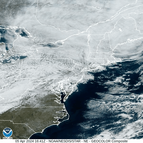
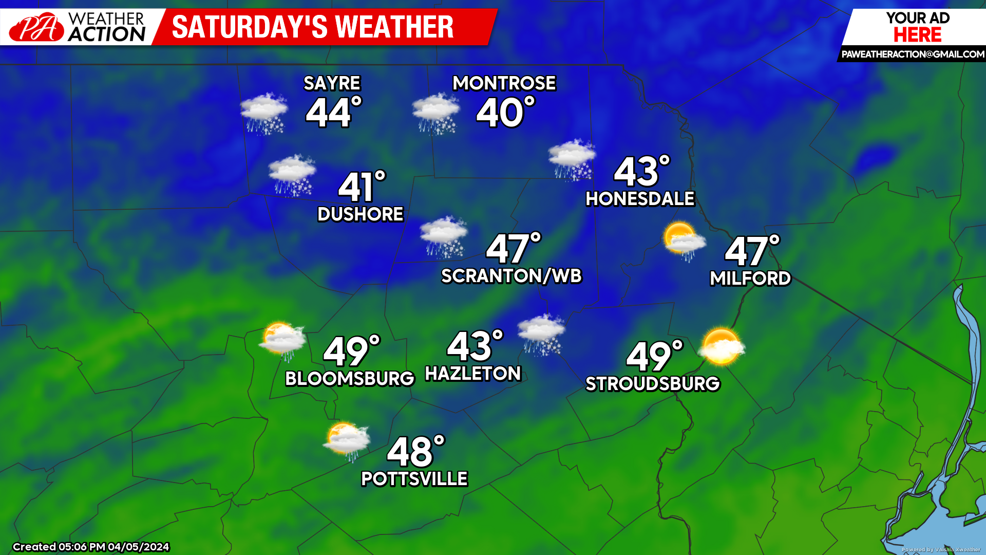
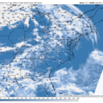
The storm responsible for this week’s meteorological excitement is currently centered over the Maine coast and will drift southward tonight and then eastward into the Atlantic Saturday night. There will be clouds and some leftover spotty rain and snow showers Saturday, and some lingering clouds on Sunday.
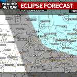
And then comes the all-important eclipse forecast for Monday! Unfortunately, a system approaching the Great Lakes Monday will spread high and mid-level clouds across Pennsylvania and western NY on Monday, although our area could still see some breaks in the clouds. The best place to go for clear skies during totality at this time looks to be northern NY and northern New England. Unfortunately, even those areas are not guaranteed, depending on how fast the high clouds advance northward.
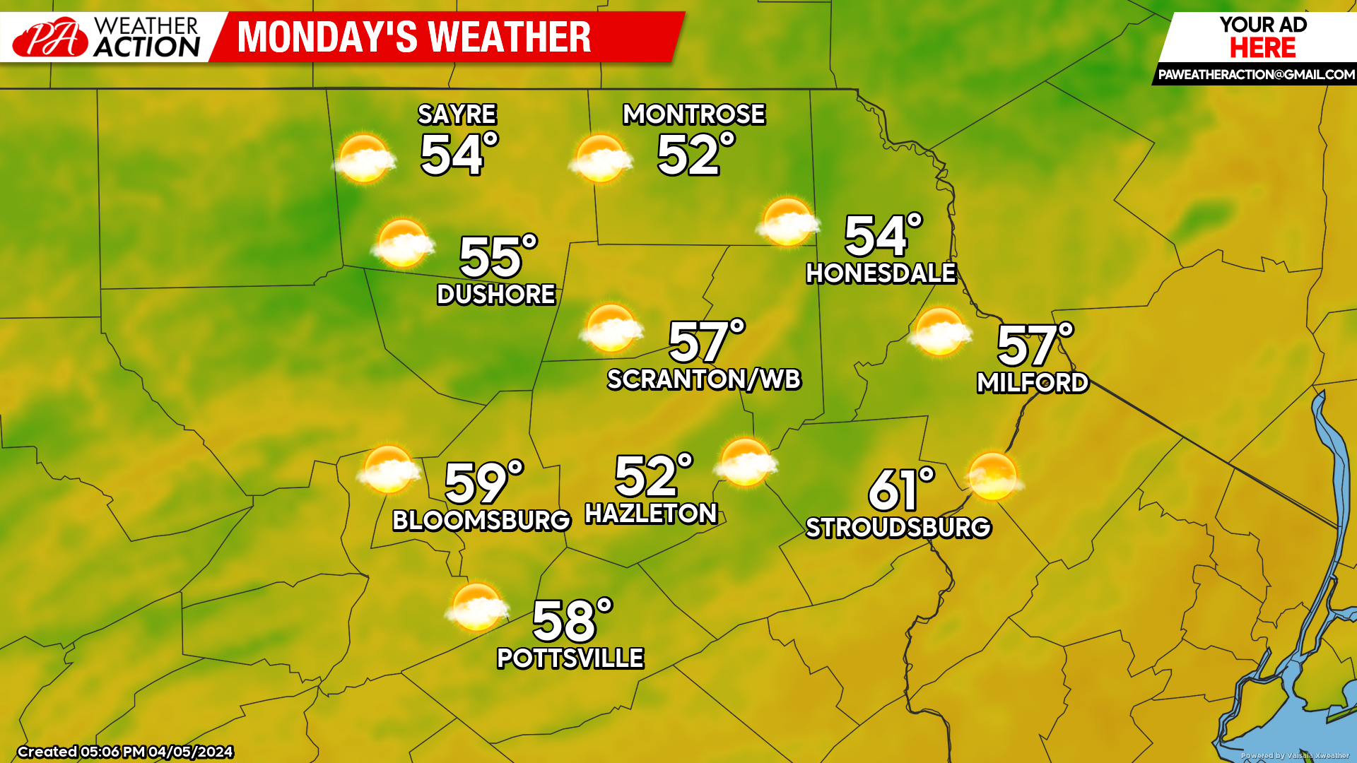
Next week will be warmer than normal for most of the week, with yet another heavy rain event possible toward the end of the week.

You must be logged in to post a comment.