

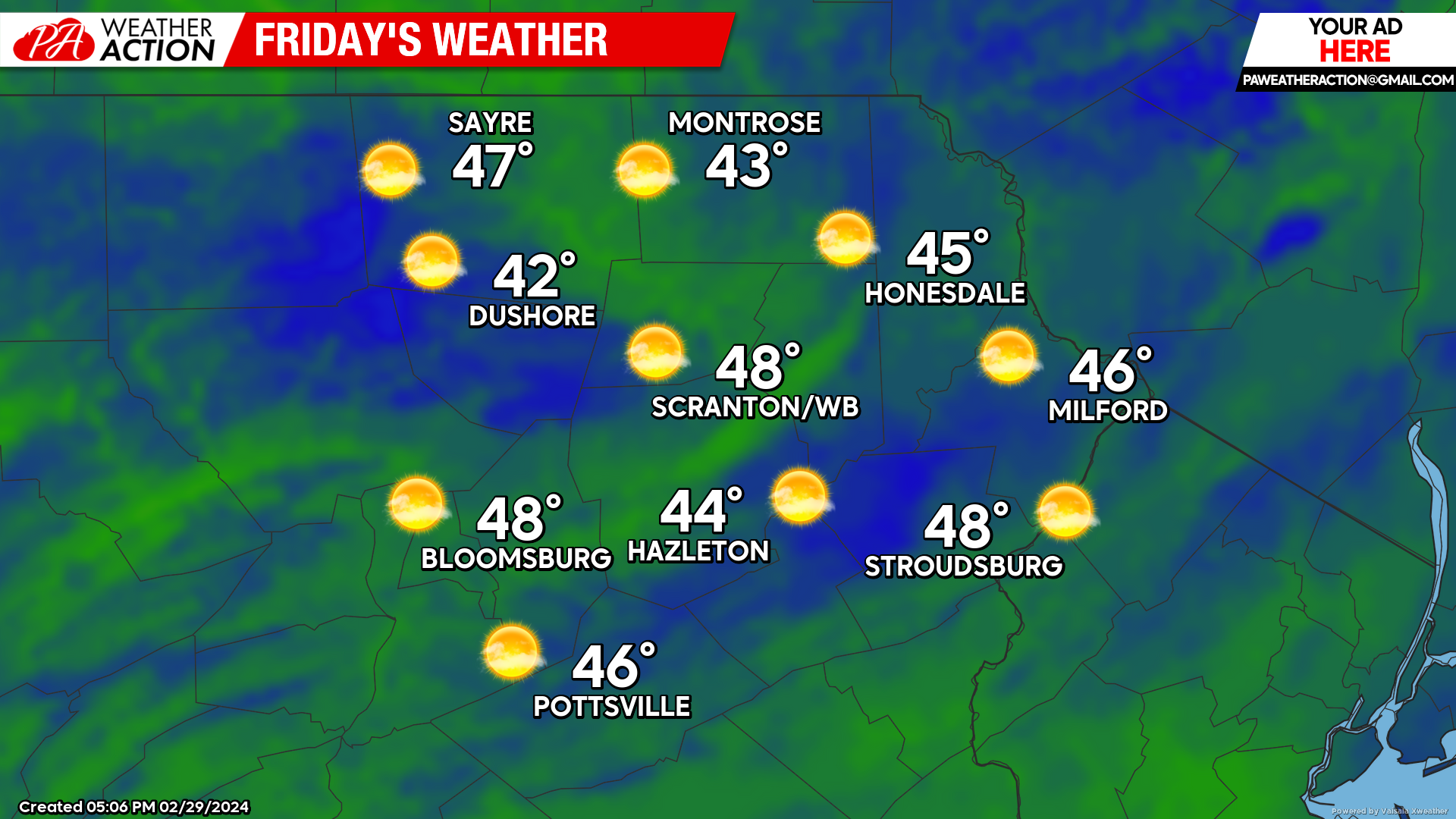
FRIDAY
Temperatures will rapidly return to much above normal levels for Friday along with mostly-sunny skies. Meanwhile a surface low will develop over the Carolinas and slowly move along the cost toward the Mid-Atlantic. Temperatures Friday night will fall into the 30s.
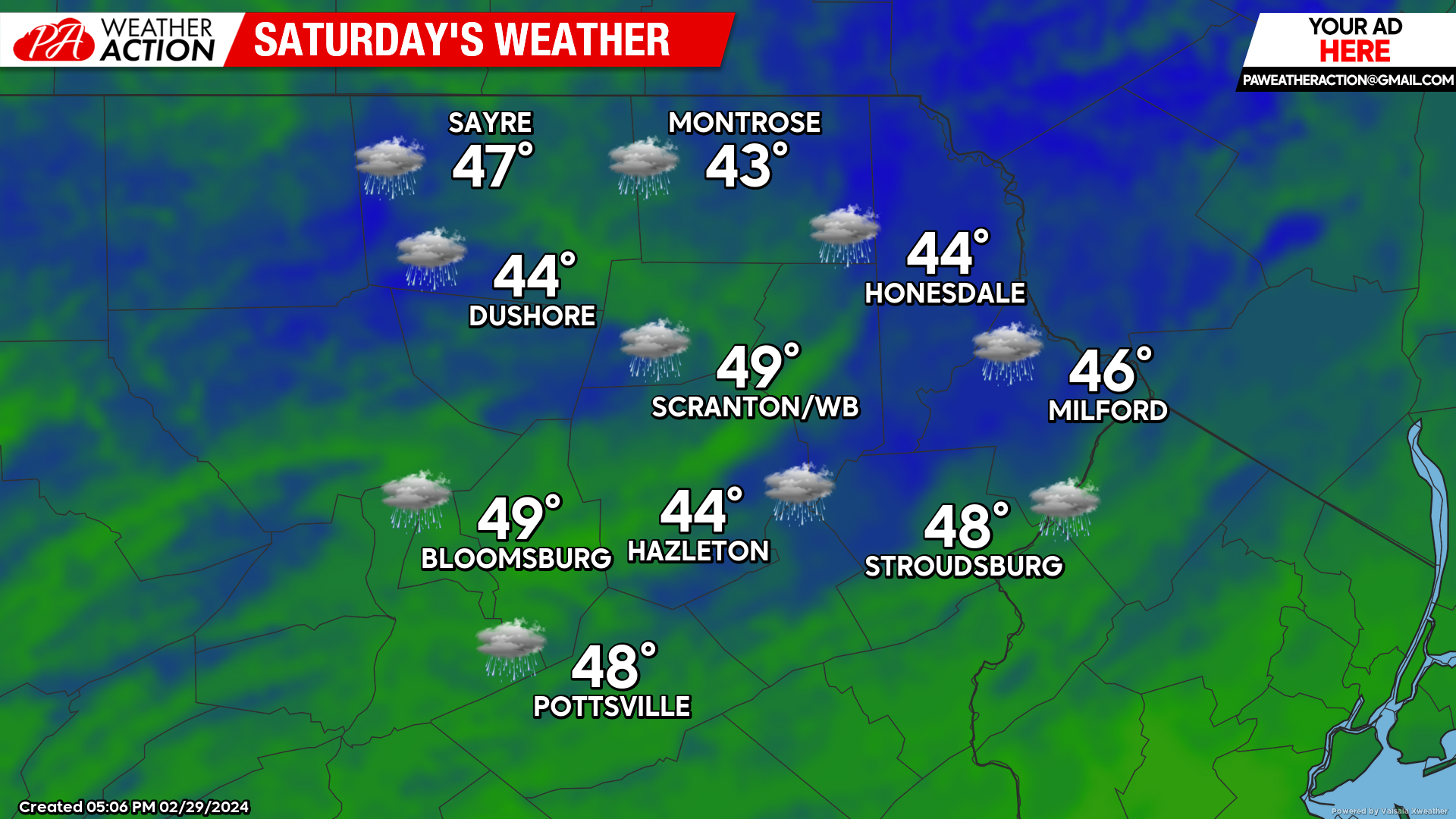
SATURDAY
The surface low will move through the Mid-Atlantic, spreading rain into our area. There could be a brief period of freezing rain in some areas at the start of the precipitation, but all areas should quickly warm into a mild rain. That rain will fall most of the day, tapering into showers during the afternoon. The heaviest totals will be in the southeastern parts of the area.

SUNDAY
Sunday will feature mostly sunny conditions and temperatures soaring well into the 50s everywhere, perhaps even near 60 in the southern valley locations! Enjoy!

BEYOND SUNDAY (Mon-Fri Mar 4-8)
Next week will continue to feature much above normal temperatures. Cloudy conditions will persist most of the week, with several opportunities for rainfall, most-likely Wednesday and Friday. And for those hoping for wintry precipitation, there is actually a borderline chance during the 2nd week of March, but time is running out. Reminder: Turn clocks ahead 2am Sunday March 10th!

You must be logged in to post a comment.