Today’s system largely missed us to our south. Our southern counties did manage to grab 1-2″ of low-density snow. As that system departs, strong wind will drive a continuous feed of bitter arctic air into our region this week.
There will be yet another roll of the snow dice this weekend, with a coastal nor’easter possible Saturday into Sunday. Unfortunately there are a lot of moving parts as several disturbances which are currently thousands of miles apart need to interact and phase with each other in just the right manner to produce the storm. So far the long-range models have no consistency as to whether or not this will happen and confidence is low, but it is at least something to watch as the week progresses.
TUESDAY
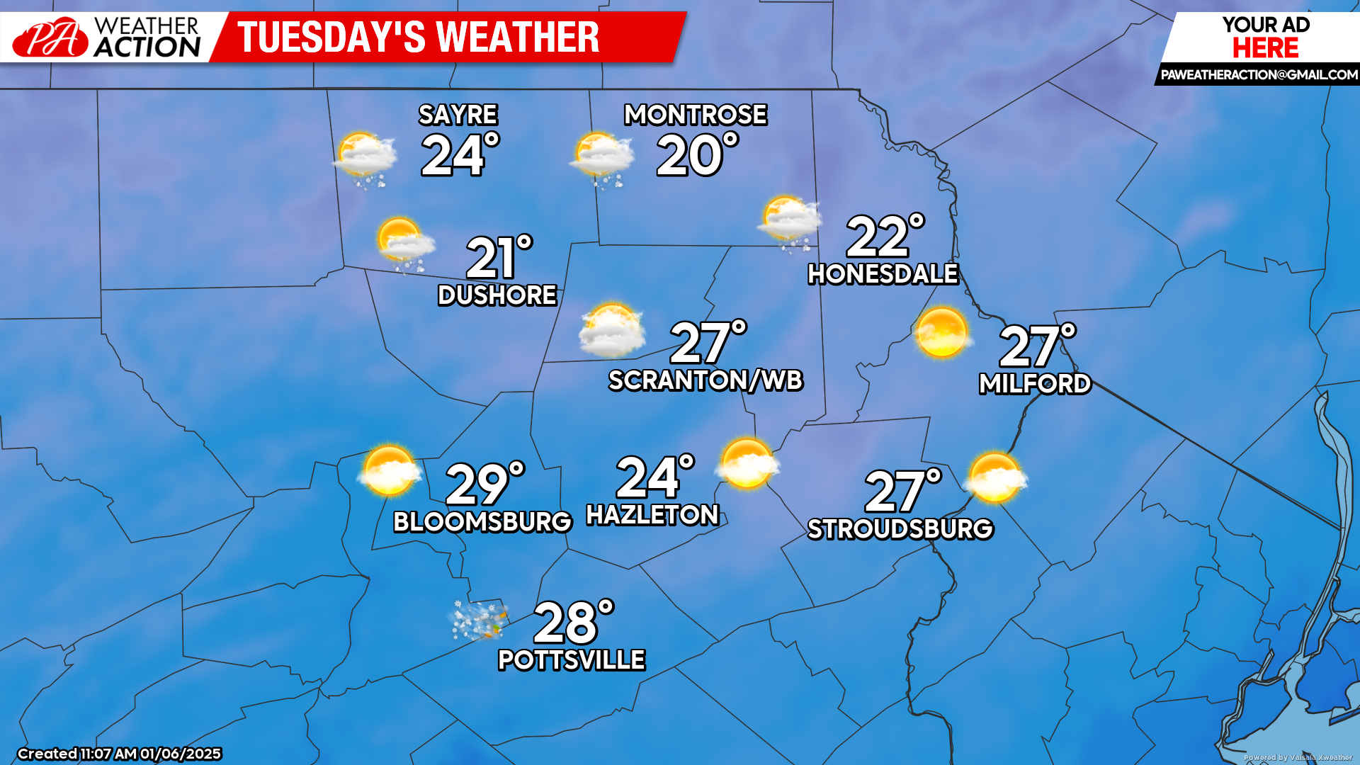
Arctic air will blast into our region tonight, and by Tuesday morning temperatures will range from the low teens in the high elevations to the upper-teens in the low elevations. Strong wind from the northwest will gust over 40 mph, driving wind chill values below zero by Tuesday morning.
Temperatures will barely moderate during the afternoon, with highs ranging from near 20 in the mountains to the upper 20s in the valleys Snow showers will make it into our northern counties, courtesy of Lake Ontario, but only a coating at best is expected. The rest of the area will experience partly cloudy skies. The powerful gusts over 40mph will persist all day, and unfortunately this could result in power outages.
WEDNESDAY
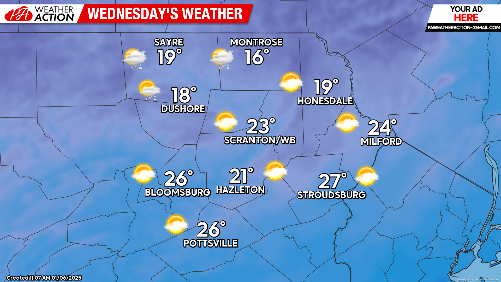
Wednesday will be a slightly colder version of Tuesday, albeit slightly less windy. Wind gusts generally will be in the 30-35 mph range. Morning temperatures will be near 10 in the mountains to the upper teens in the valleys. Afternoon temperatures will range from the upper teens in the mountains to the 20s in the valleys.
A reinforcing attack of arctic air will push wind gusts above 40 mph Wednesday night and push temperatures back to near 10 F in the mountains by morning, and teens in the valleys. This translates into wind chills near 0 in the valleys and as much as -10 F in the mountains.
THURSDAY
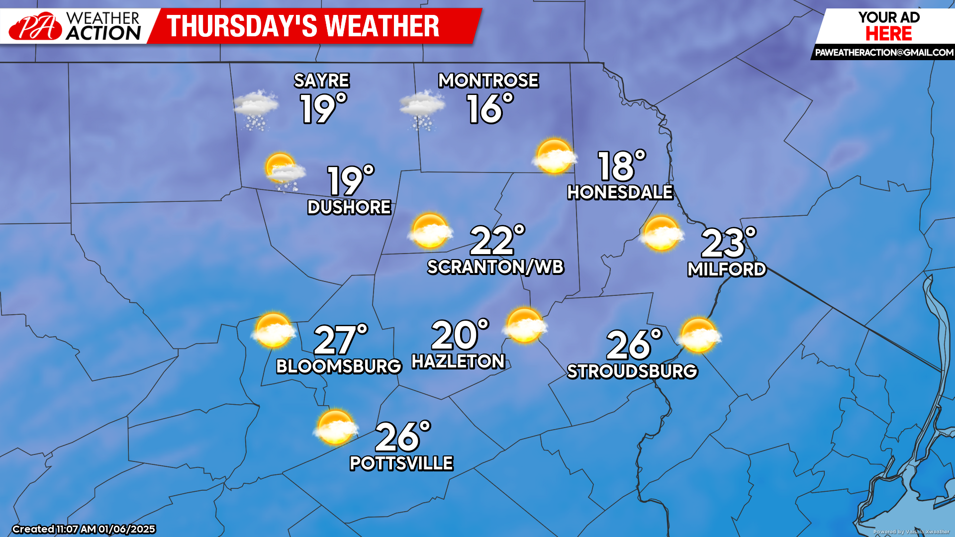
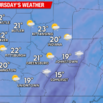
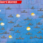
The arctic assault will continue to rage with wind gusts over 40mph and temperatures ranging from the teens in the mountains to the 20s in the valleys. As with Tuesday and Wednesday, some snow shower courtesy of Lake Ontario could survive into our northern counties, but the rest of our area should be partly cloudy with passing flurries.

You must be logged in to post a comment.