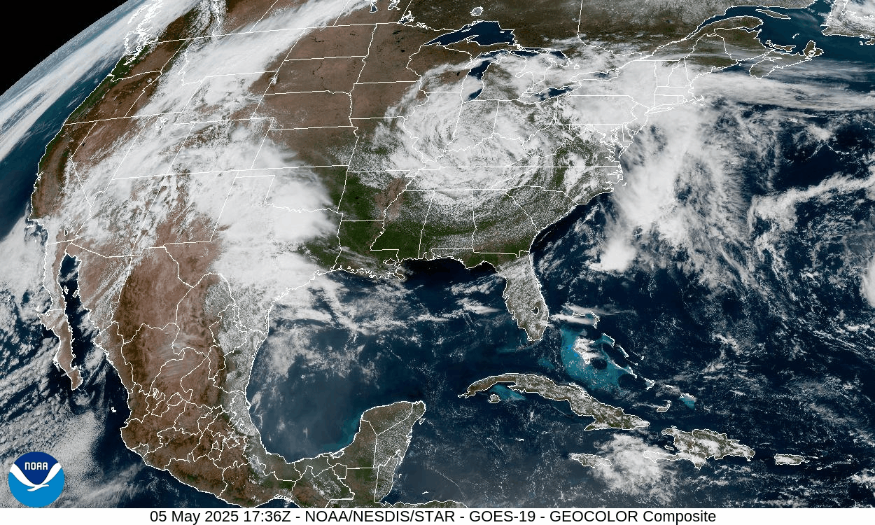
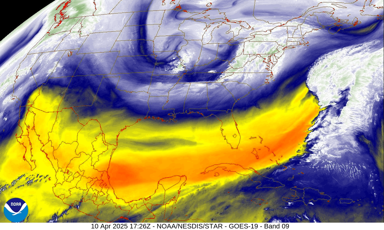
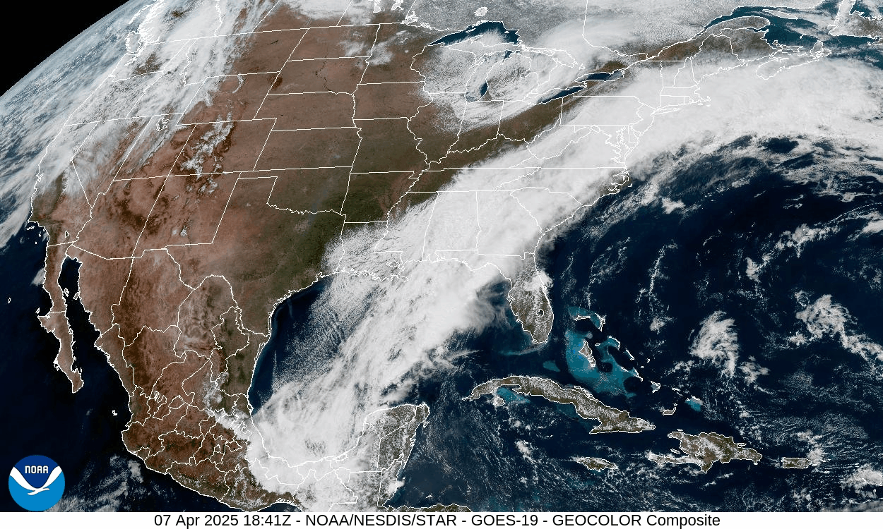
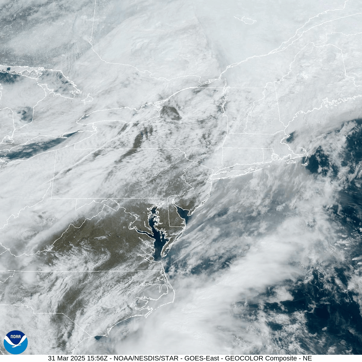
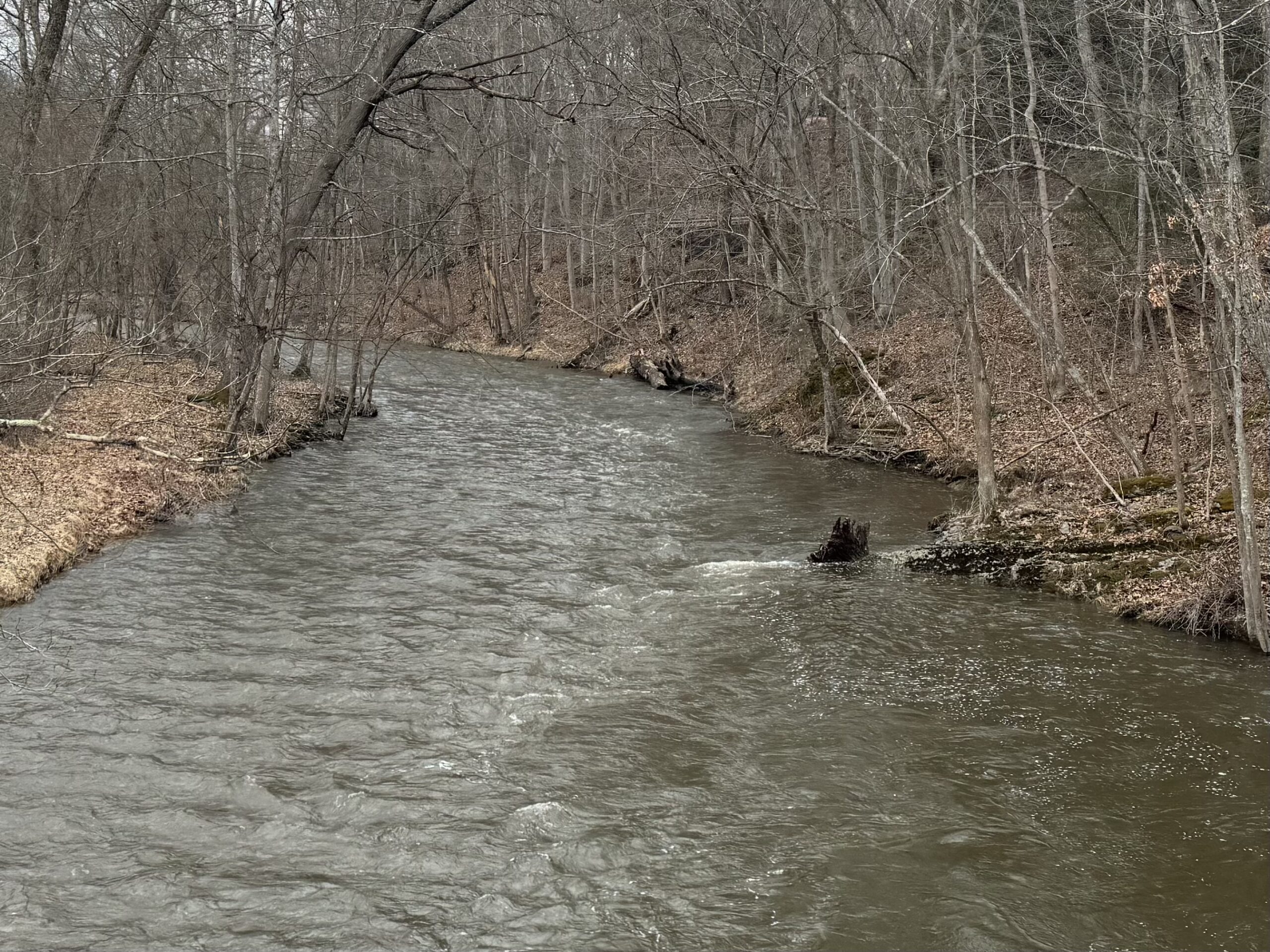
A pattern shift to much-needed wet conditions will commence tonight. A storm system will move northeastward through the Great Lakes and into Eastern Canada overnight,…
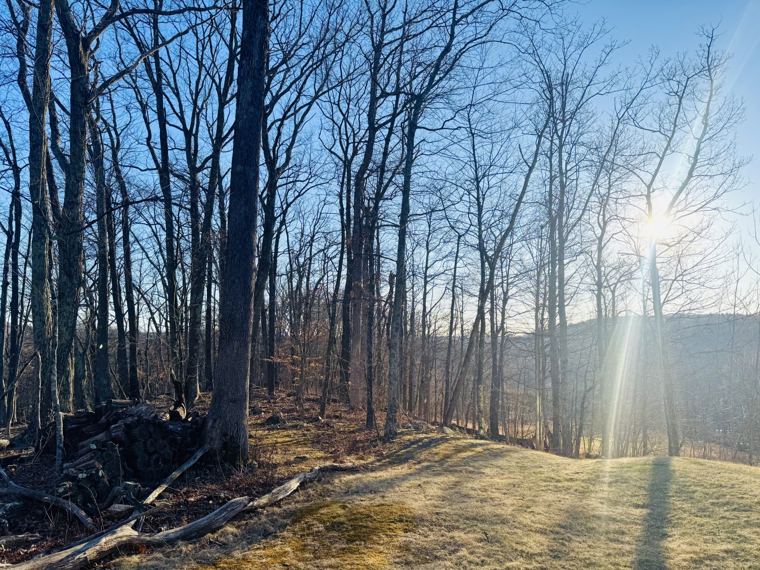
High pressure provided blazing sunshine today, although the gusty winds continued. That high pressure will provide clear skies and more-calm wind tonight, which will allow…
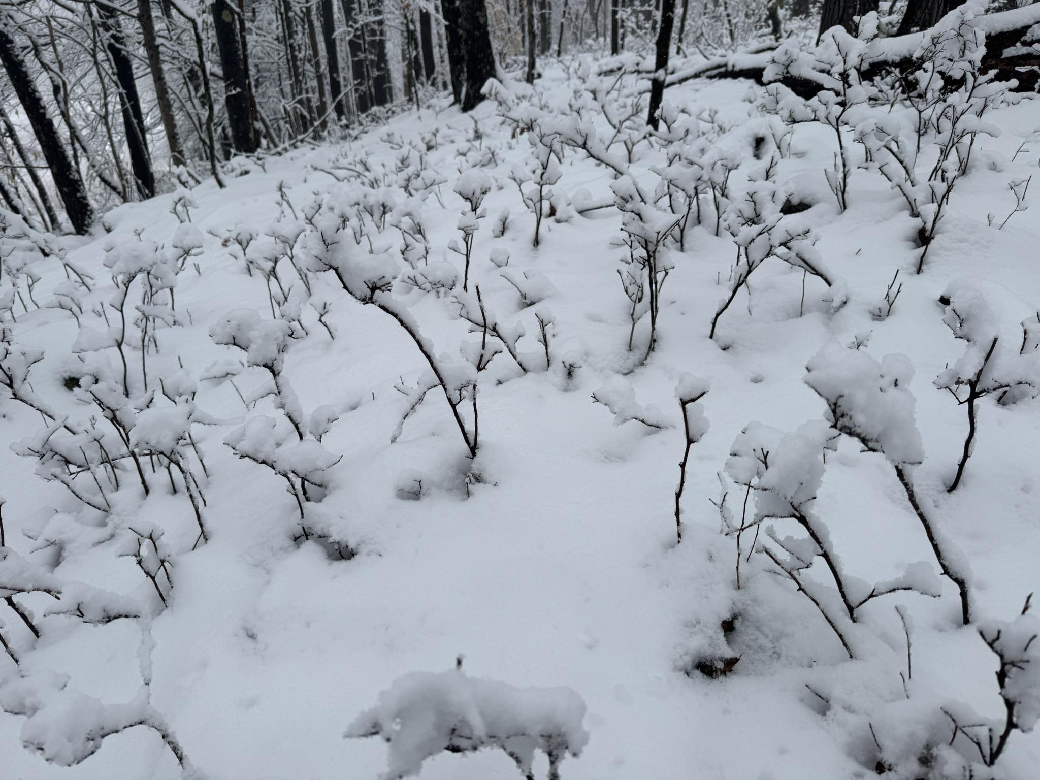
This week's weather has been more-reminiscent of late winter than Spring. Temperatures across our area fell to 20 F Wednesday morning! A deep upper-level trough…
After springlike warmth and the first 70s for many on Tuesday, a backdoor cold front delivered cooler weather for Wednesday and today. Skies managed to…
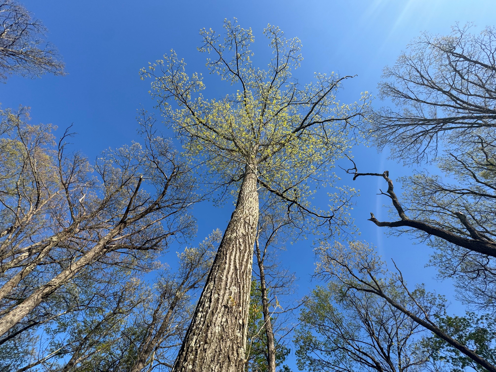
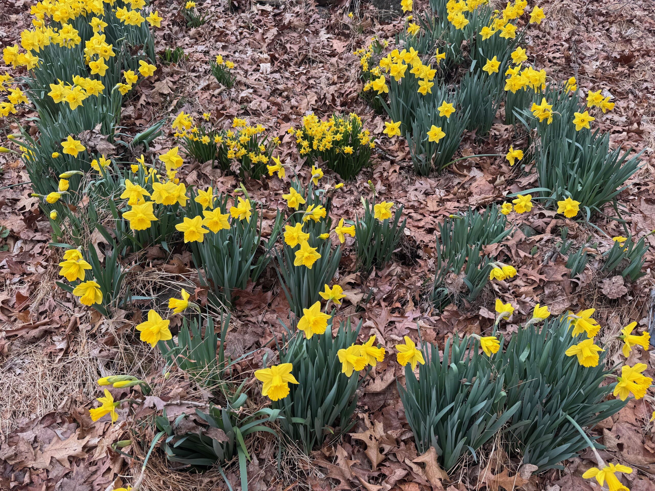
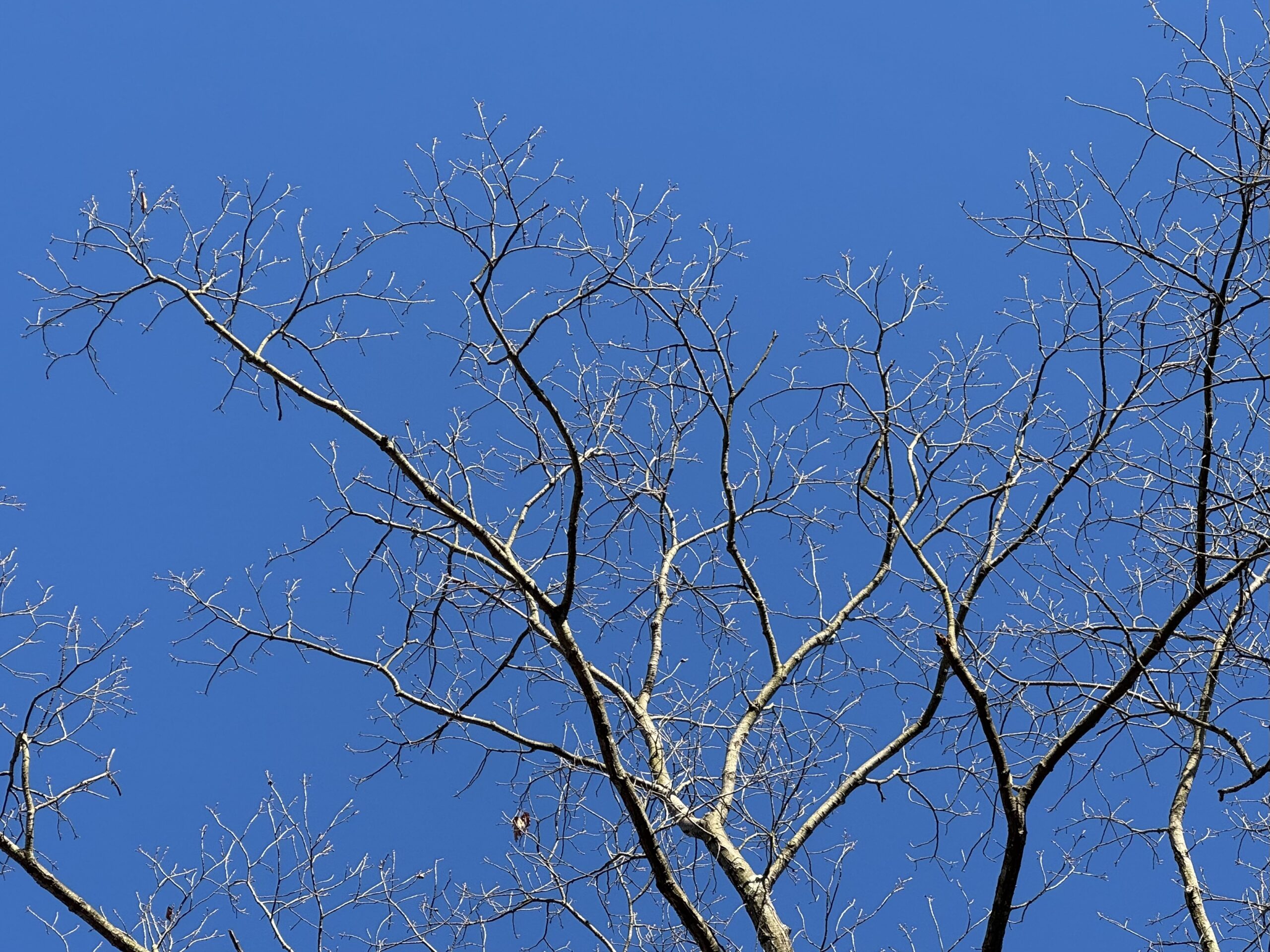
Azure blue skies and blazing sunshine drove temperatures well above normal today, with our southern valleys soaring into the upper 60s! The blue skies were…