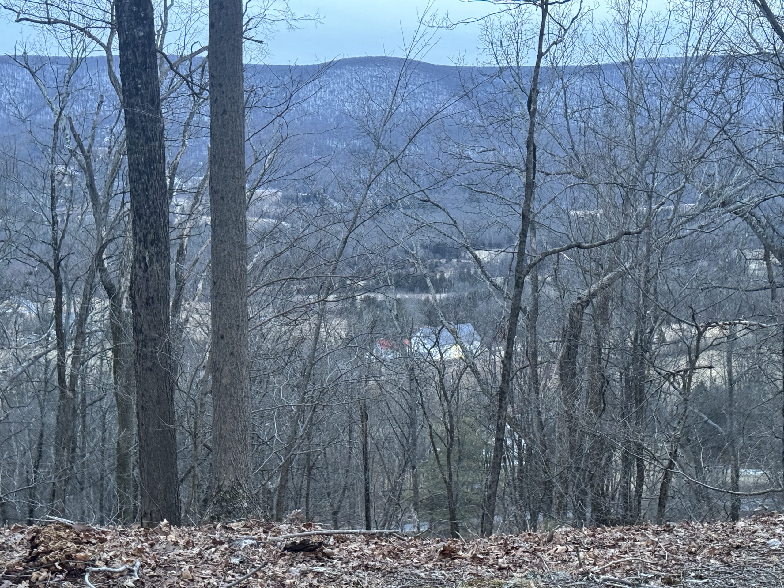
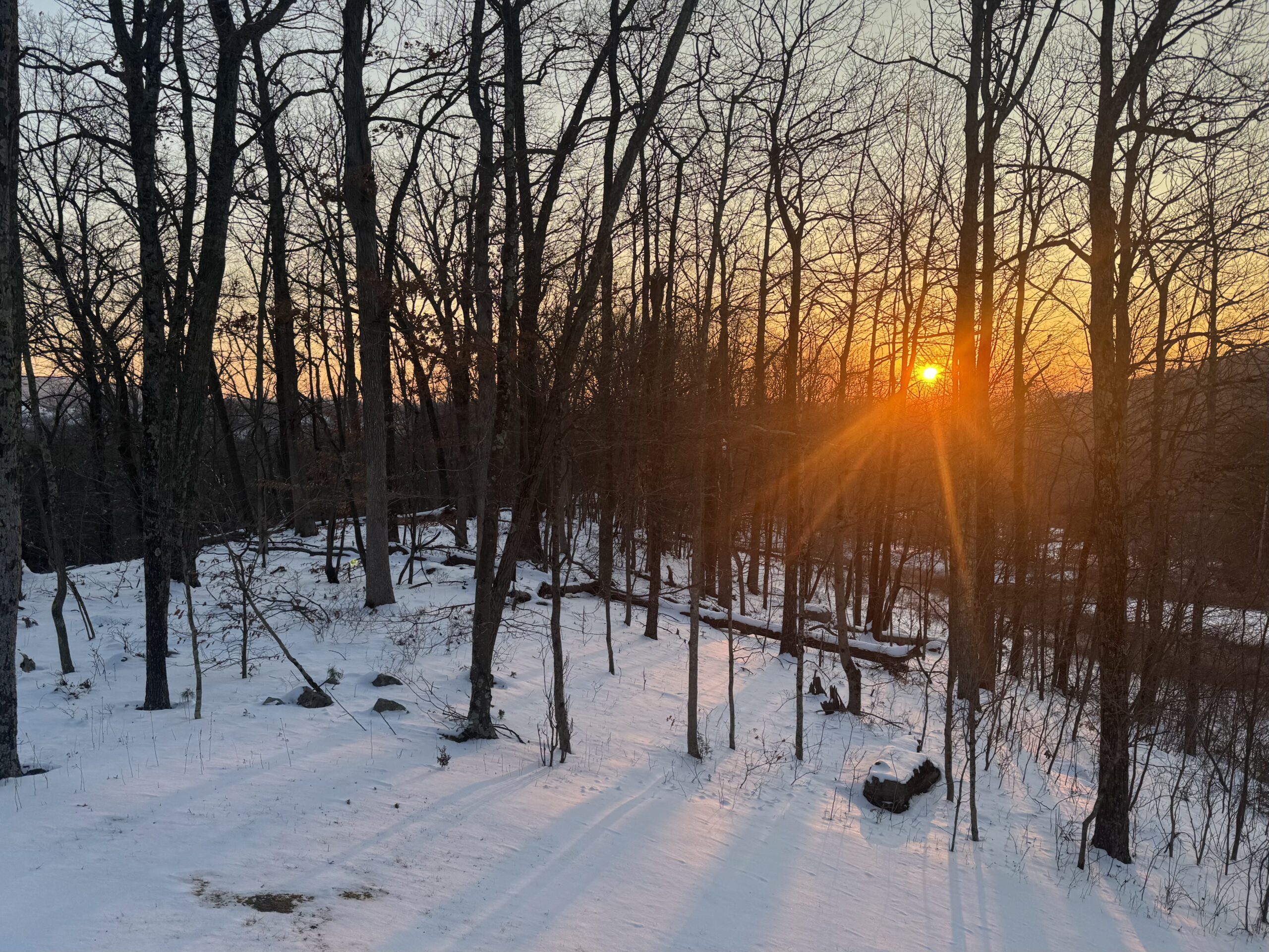
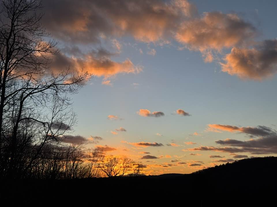
After a long period of bitter-cold temperatures, a surge of warmth infiltrated our region. Temperatures surged into the upper 40s and even 50s in parts…
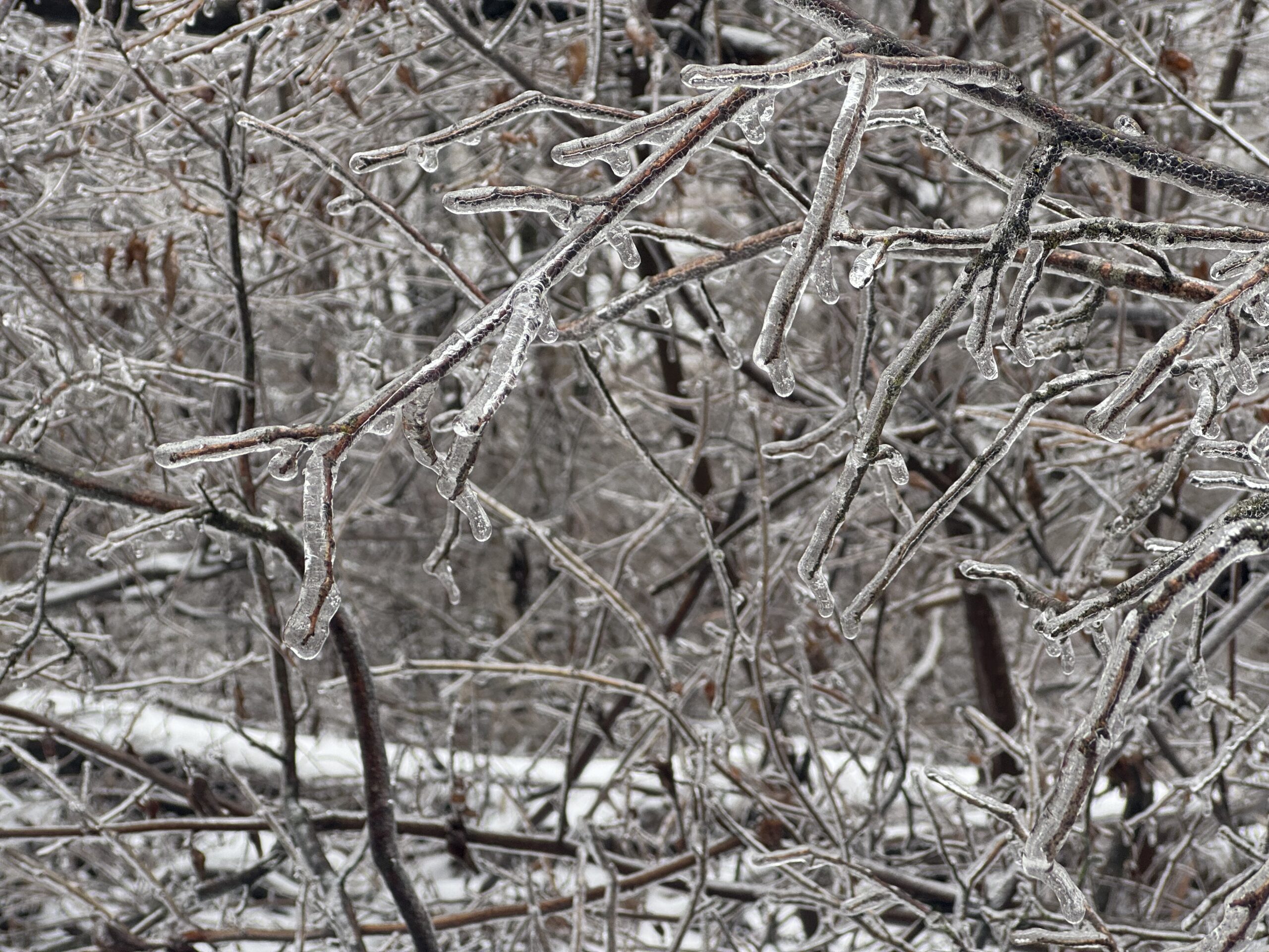
This morning's system delivered a general half inch to inch of ice-sleet concrete. Wind blowing from the west-southwest is blowing warmer air into our region…
As a clipper raced by to our north yesterday, snow squalls and windy conditions prevailed. Despite the squalls in the northern mountains, our southern counties…
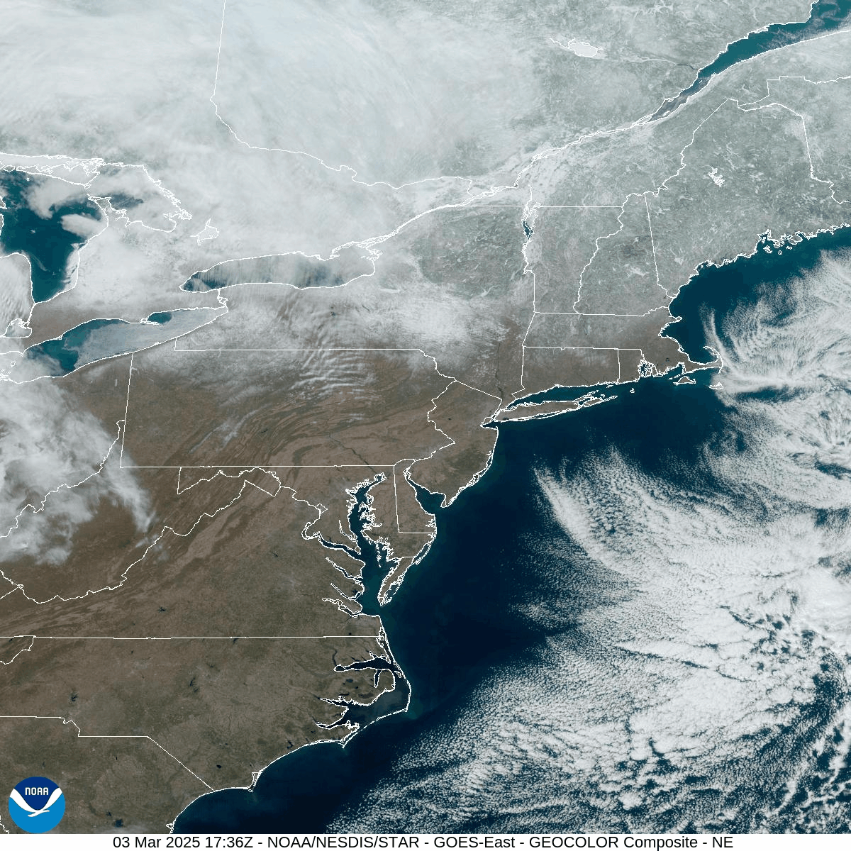
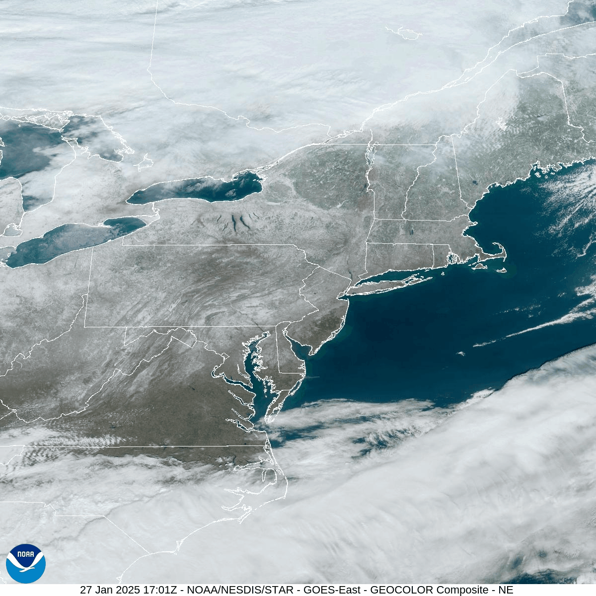
The snow cover continues to survive across the region despite the warm sunshine today. The visible satellite loop from this afternoon nicely illustrates the extent…
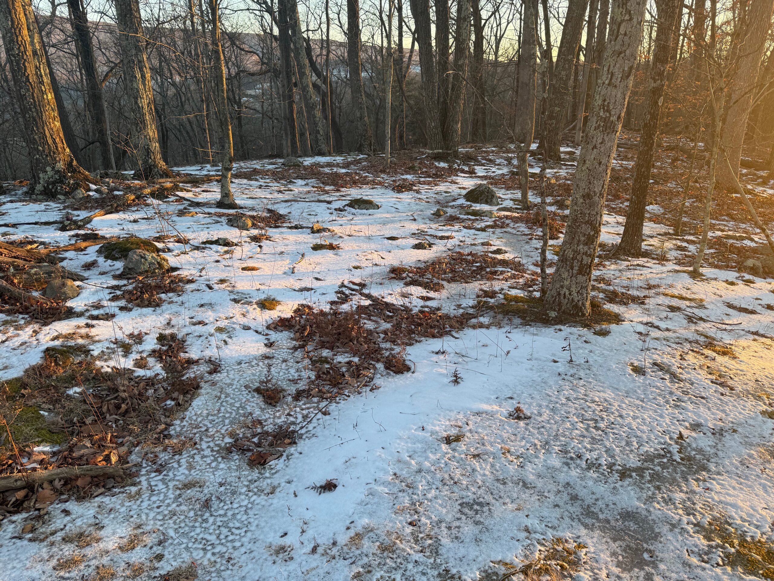
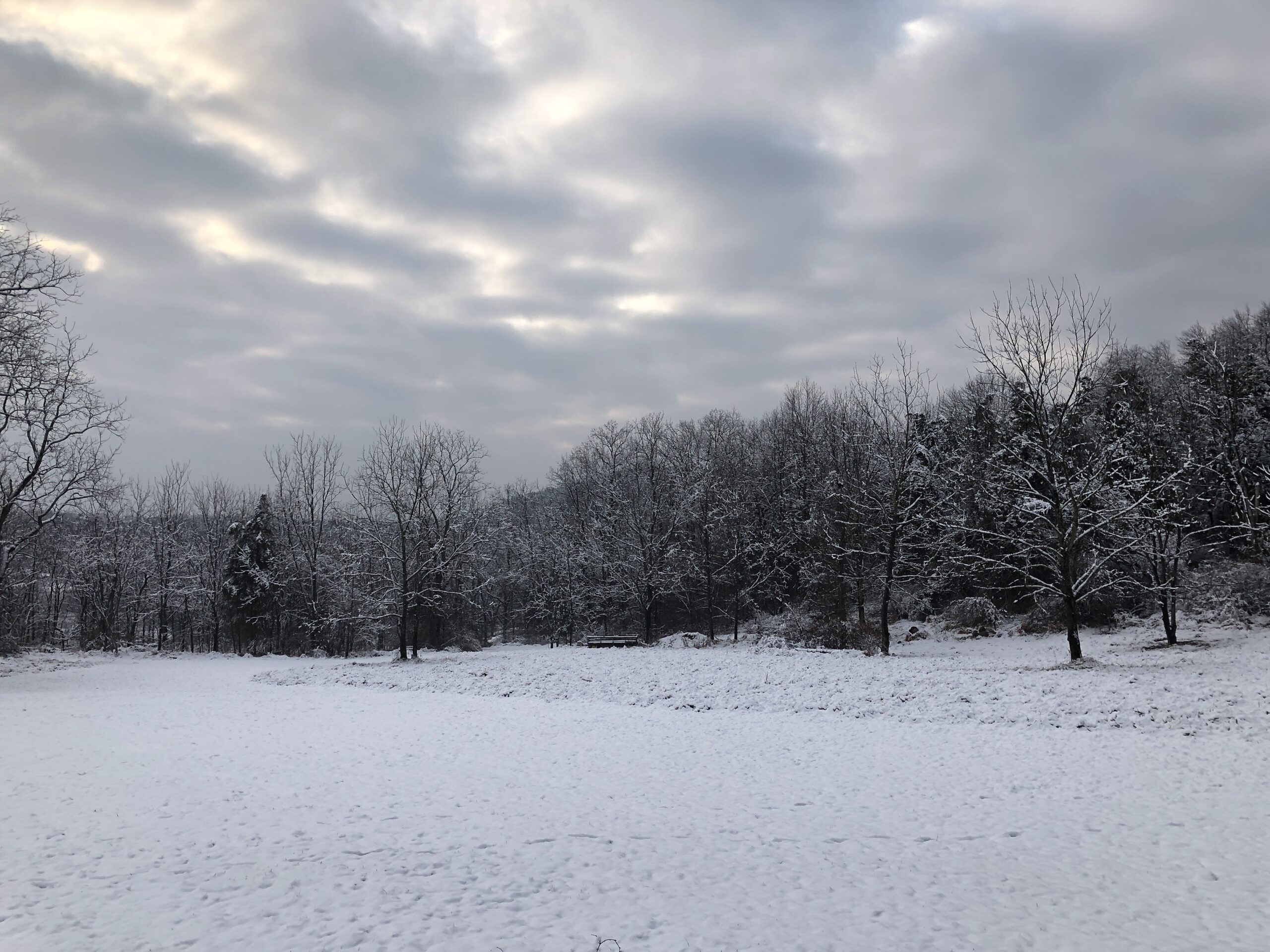
This week featured some of the lowest temperatures in decades for parts of the area. Sunday evening's fresh mantel of low-density dendrites insulated the air…
A clipper passing through our area is currently depositing around an inch of snow across the region. Snow will end this evening, with clearing conditions…
Arctic air blasted our region this week, with widespread gusts over 30mph, and over 55mph in the higher elevations! Unfortunately for snow lovers, the potential…
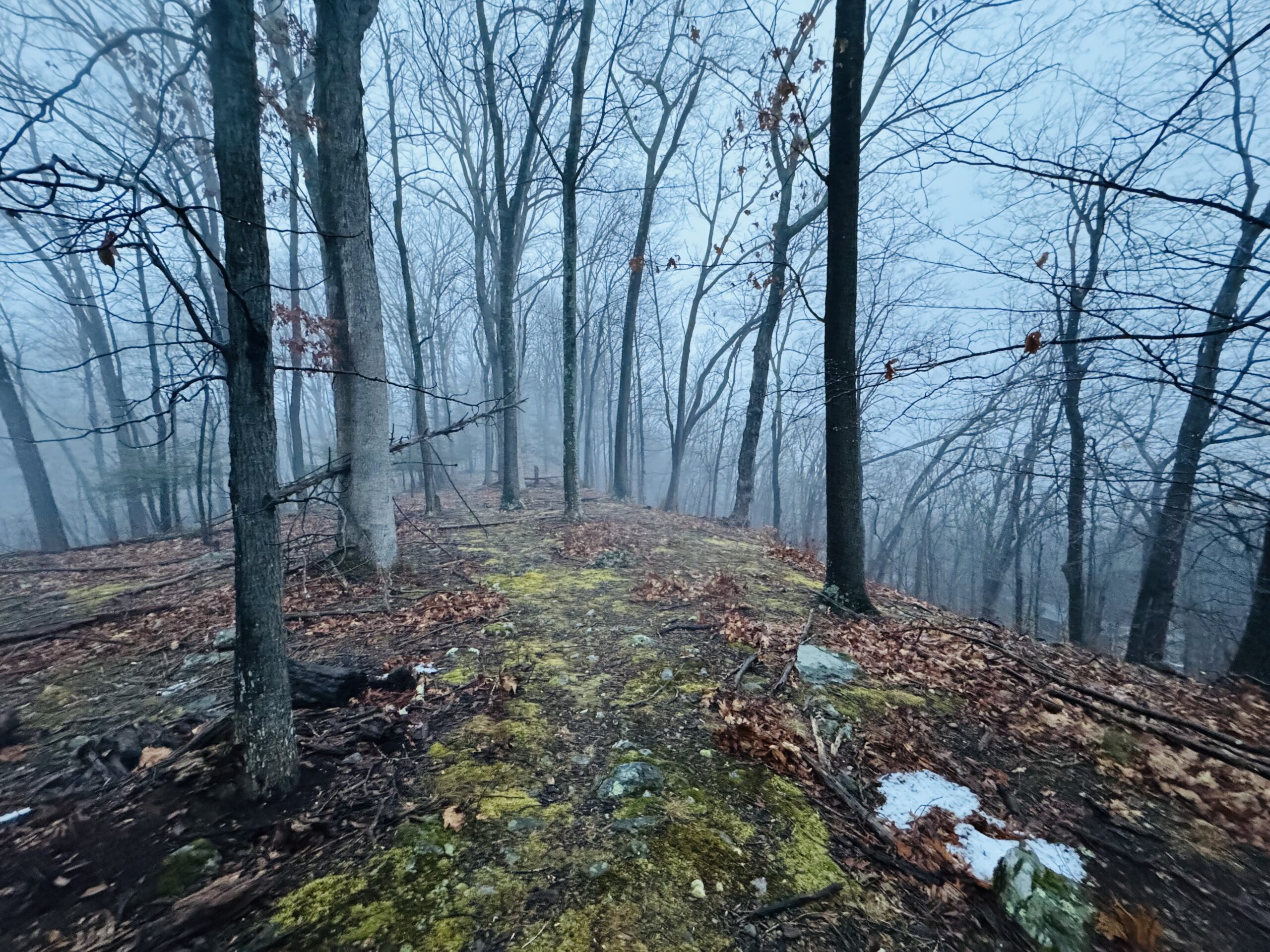
Sunday's system provided heavy rain, gusty wind, and temperatures that obliterated the snowpack. As it departed today, windy conditions circulated cooler air, but temperatures remained…