
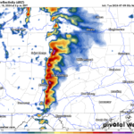
Beryl was tugged northward to a landfall as a hurricane just south of Houston this morning. Wind gusts reached hurricane force near Houston, along with 6-10″ rain and isolated tornadoes. Beryl will move northward into the Great Lakes and southeastern Canada this week.
Hot and humid weather will persist for our area into midweek. Beryl will drag deep tropical moisture northward into our area, providing opportunity for thunderstorms and heavy rain.
TUESDAY
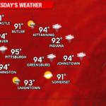
Hot and humid conditions will continue. With widespread 90s and high humidity, the National Weather Service has issued a heat advisory for most of our area. Isolated thunderstorms will develop during the afternoon, but areal coverage will likely be less than half of the area. The humid conditions will result in a muggy night with temperatures struggling to fall below 70 in the urban areas.

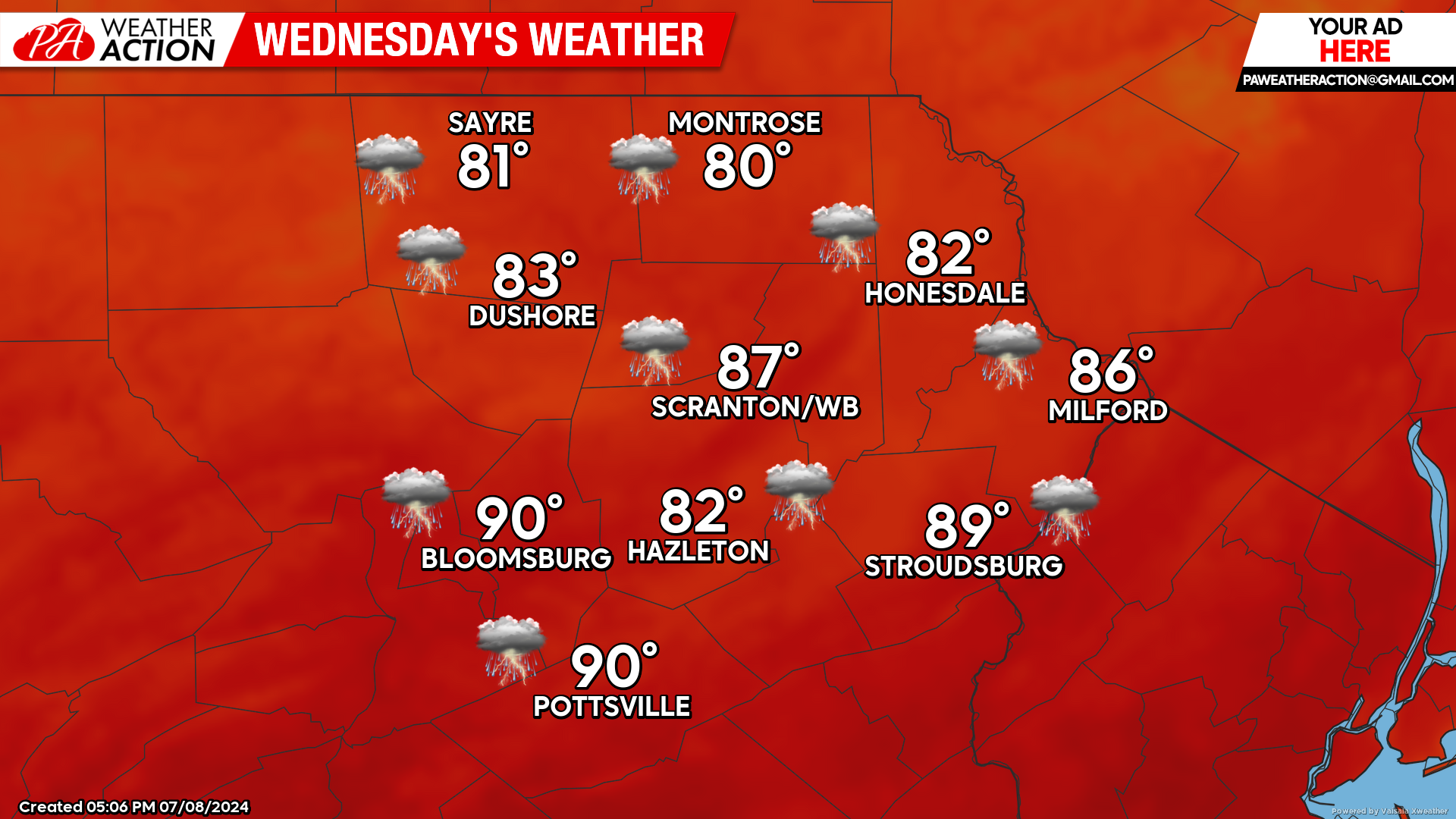
WEDNESDAY
With the tropical air being drawn northward into our area, overnight conditions will remain extremely sultry. Temperatures Tuesday night and Wednesday night will likely remain in the 70s in the urban corridor of the Wyoming Valley. High temperatures will range from the low 80s in the higher elevations, to near 90 in the southern valleys. Tropical moisture from Beryl could also spawn thunderstorms with heavy rain, especially late in the day and Wednesday night.
THURSDAY
The tropical influence of Beryl will continue, with the chance for more showers and thunderstorms. However, there are indications that as Beryl moves to our north, it will circulate less-humid air into our area from the west over the course of the day which could reduce the opportunity for thunderstorms as the day progresses.

You must be logged in to post a comment.