
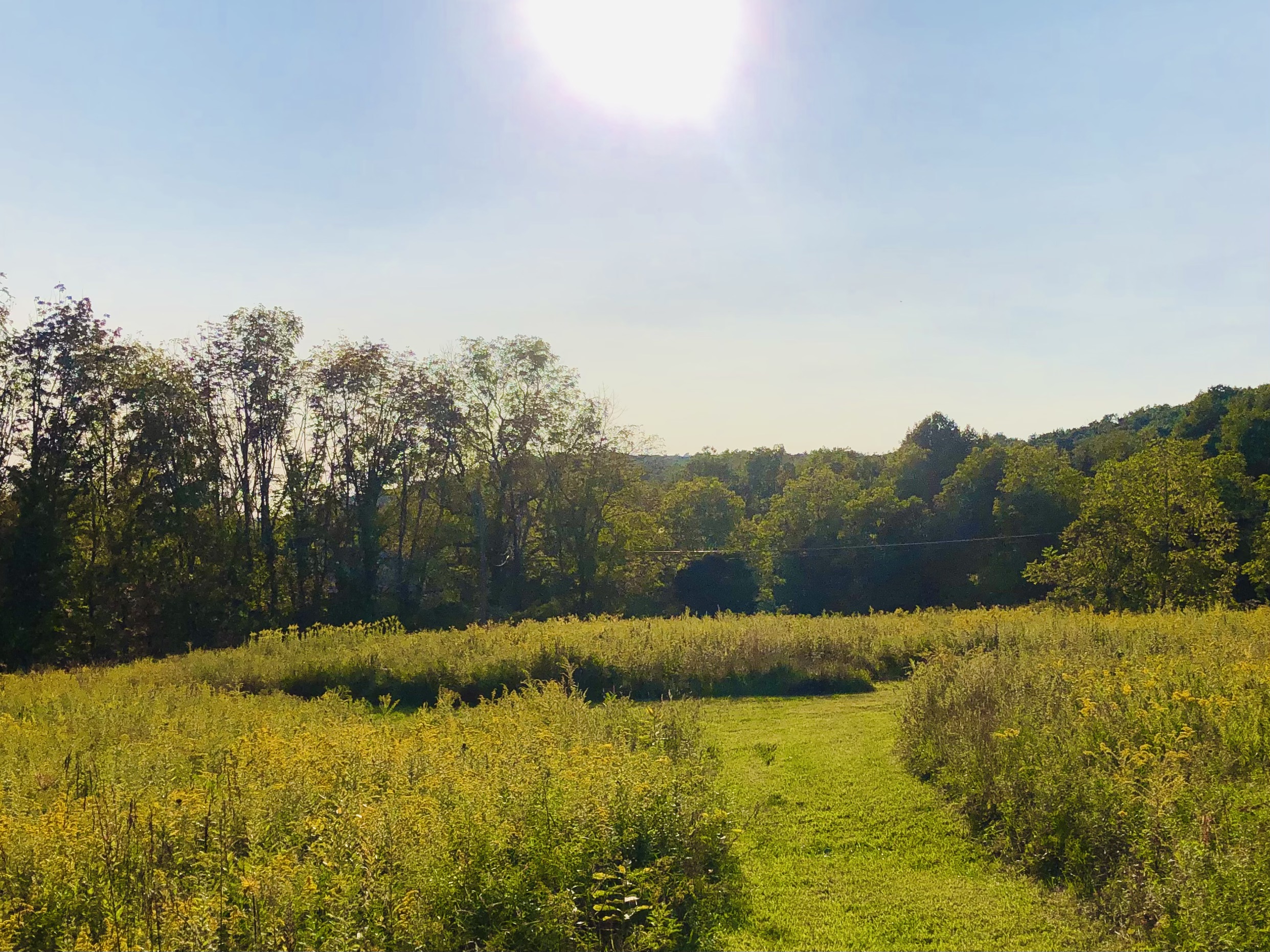
The late-summer sun blared upon our area this entire week, and will continue to do so through the weekend. When we have clear skies and light wind during these longer nights late-season nights, fog becomes quite common in the deeper river valleys, and can take until late-morning to ‘burn off’.
Francine strengthened into a Cat 2 hurricane before landfall in Louisiana Wednesday afternoon / evening Over the next couple of days, her low-level circulation will languish over the South-Central U.S. while her moisture is stripped both northward toward Canada and eastward across the Carolinas.
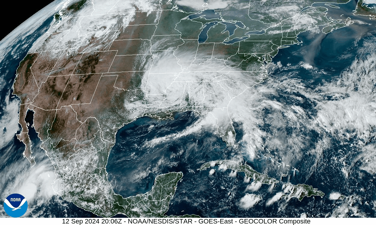
Over our area, dry weather, blazing sun, light wind, overnight fog in the river-valleys, and above-normal temperatures will continue through this weekend, perhaps into early next week. The pattern shows signs of breaking down next week, with tropical moisture attempting to work into our area perhaps by Wednesday.
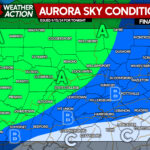
Meanwhile, an incoming coronal mass ejection could spark a mild geomagnetic event this evening which could impart a red glow to the northern skies.
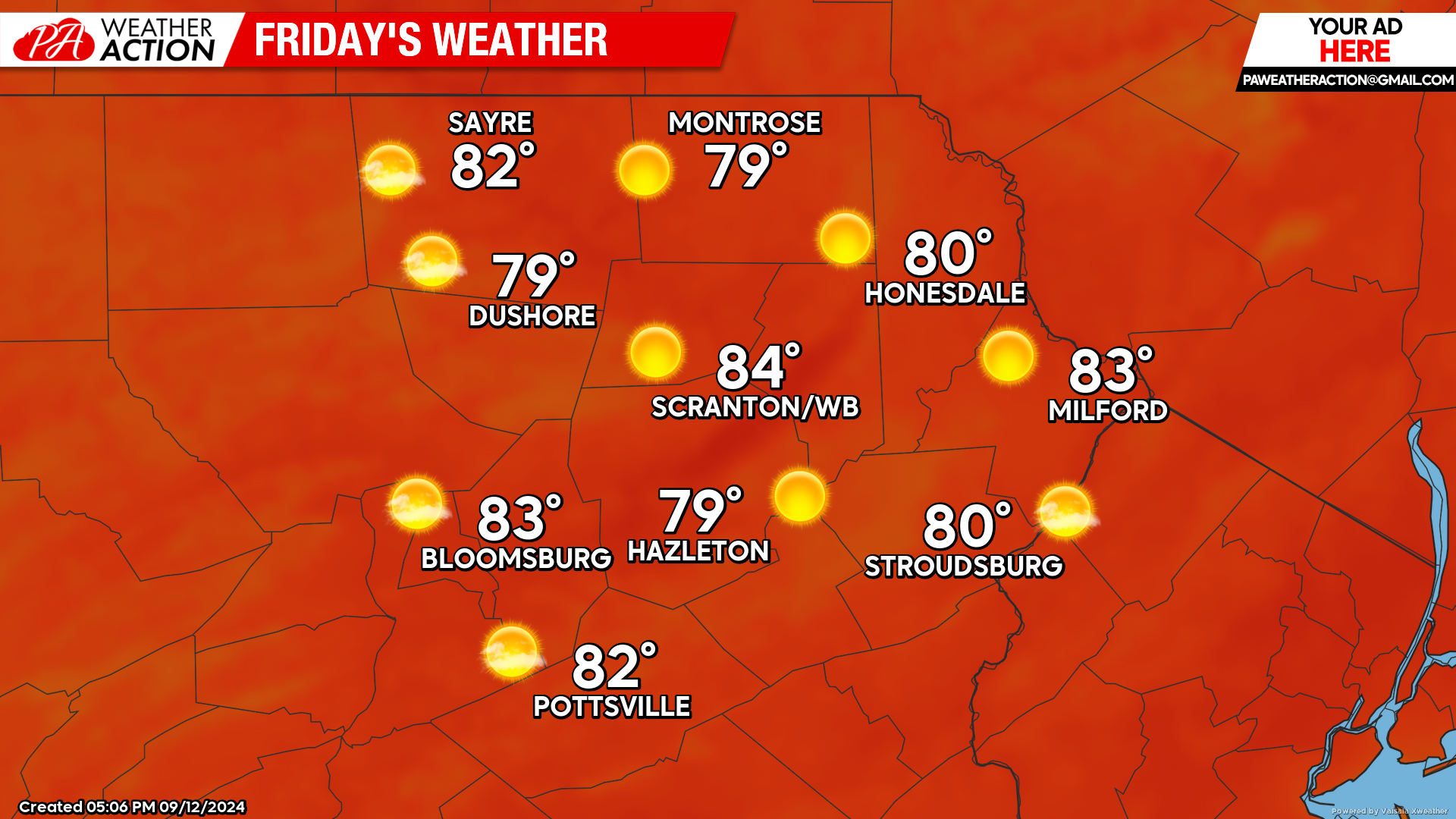
FRIDAY
Friday will feature sunshine and light wind. Enjoy!
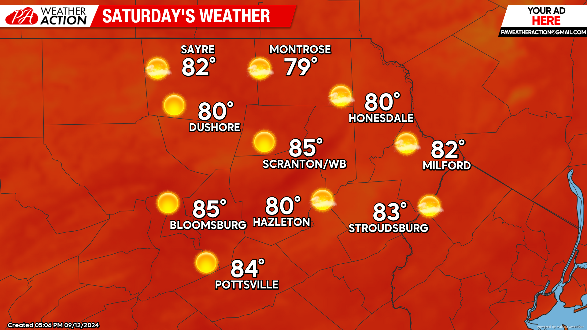
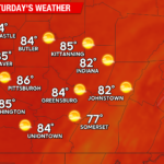
SATURDAY
Saturday will be yet another day of blazing sunshine, light wind, and above-normal temperatures!
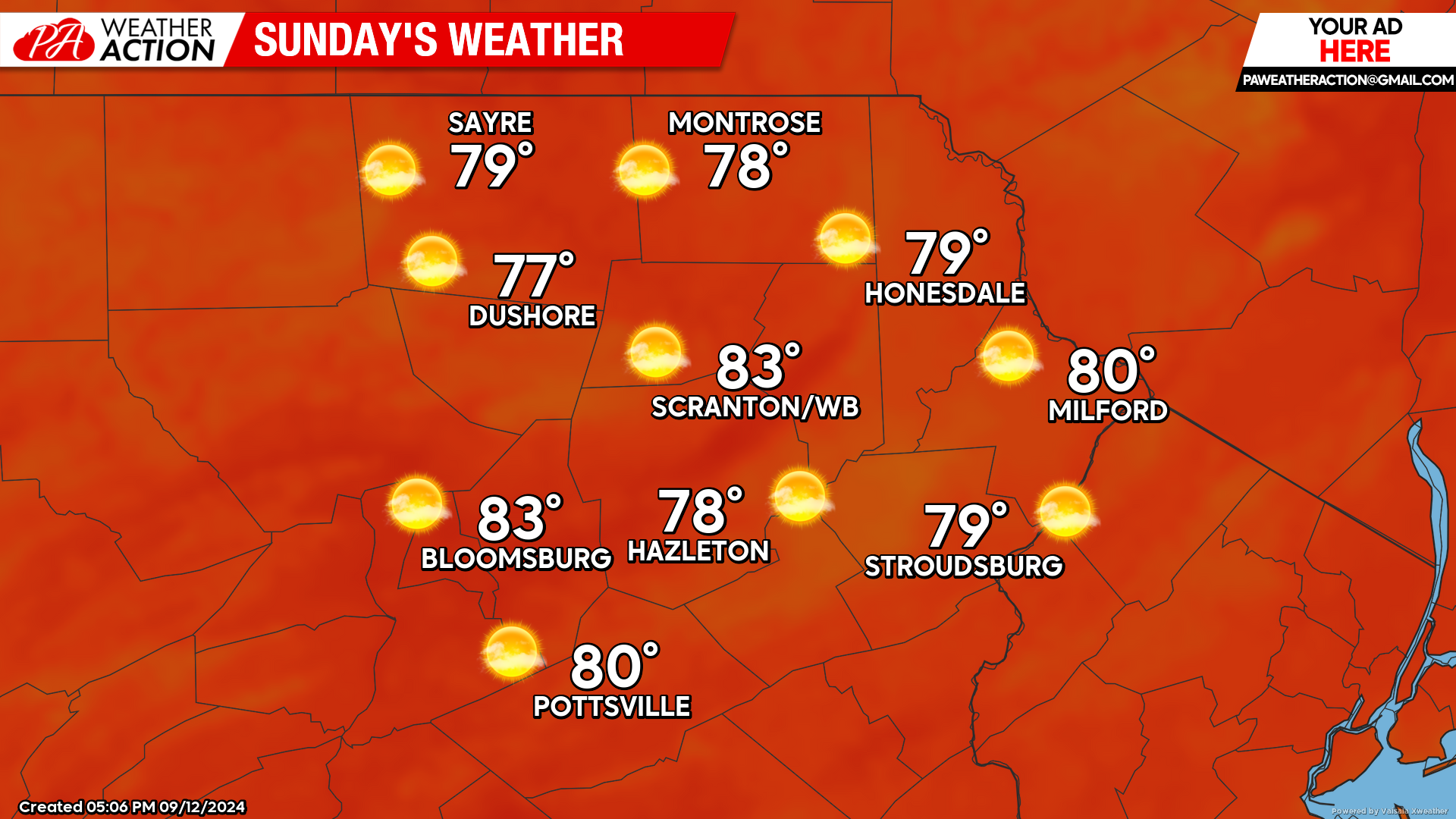
SUNDAY
Sunday will be another day of blazing sunshine, light wind, and above-normal temperatures! ENJOY!
You must be logged in to post a comment.