Arctic air finally managed to infiltrate our area over the Thanksgiving holiday, eventually driving overnight lows down to near 10 F this morning! The arctic air flowing over the warm waters of the Great Lakes generated epic snowfall for locations immediately downwind, but only scattered snow showers survived into our area.
A strengthening moisture-starved surface low will move eastward to just north of the Great Lakes on Wednesday and into northern New England on Thursday. This will deliver more-widespread snow showers along with increasing wind for Wednesday into Thursday.
TUESDAY
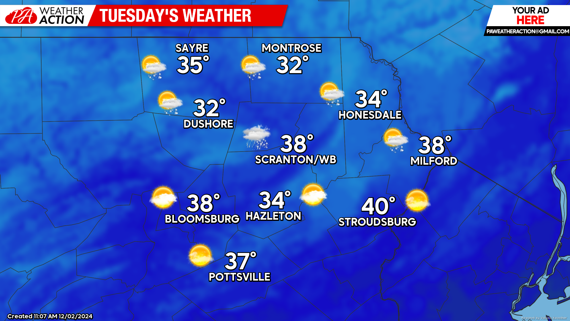
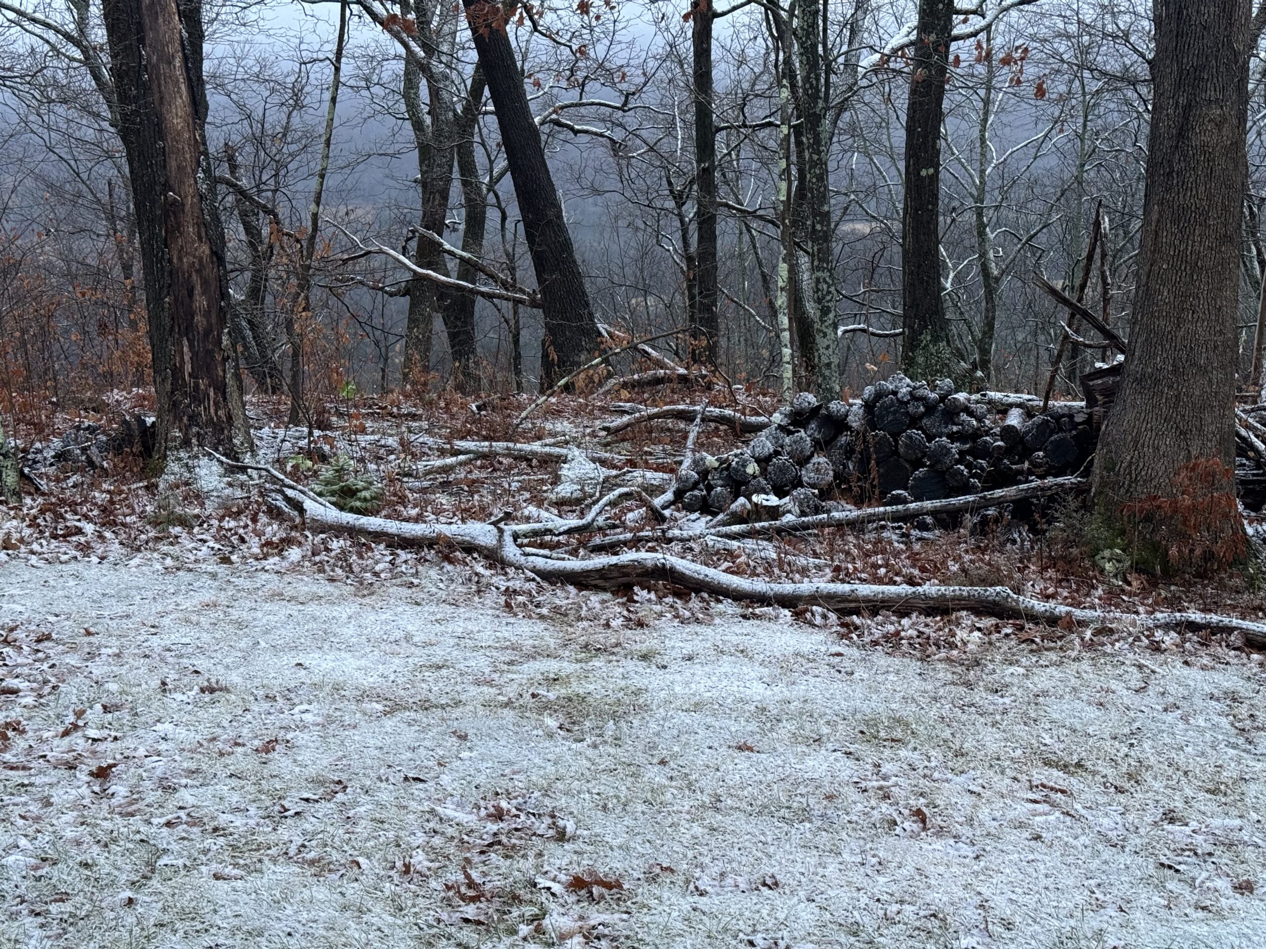
Tuesday will feature partly cloudy skies. Some snow showers could survive into parts of the area, which could provide a slight coating for the highest elevations.
WEDNESDAY
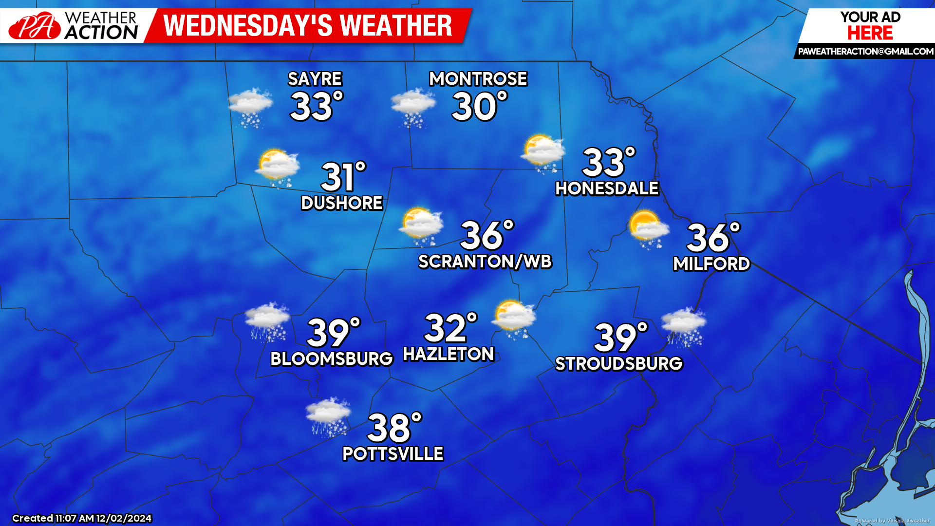
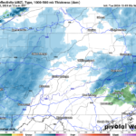
The strengthening system over the Great Lakes will bring increasing clouds and gusty wind during the afternoon. This will spread snow showers across the area although accumulations will generally be light.
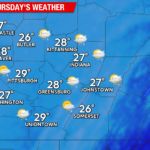
THURSDAY
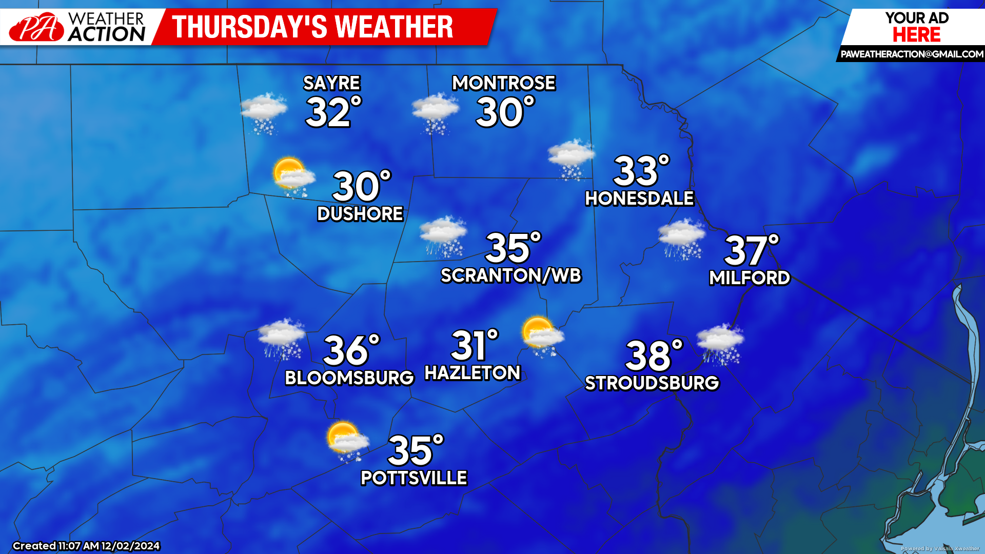
As the surface low intensifies over northern New England, snow showers and gusty wind will spread across the region. A coating to a couple inches are possible, mainly across the higher elevations. The wind will increase as well, with gusts 30-40 mph possible!

You must be logged in to post a comment.