
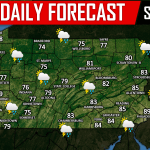
Strong to severe thunderstorms are back in the forecast for today. Since the time we posted last night’s article, the Storm Prediction Center has expanded the SLIGHT RISK for severe weather today all the way into East-Central PA, similar to what we thought they would do given the variables involved. While Northeast PA and East-Central PA are in a SLIGHT RISK for severe weather, most of us remain in a MARGINAL RISK: 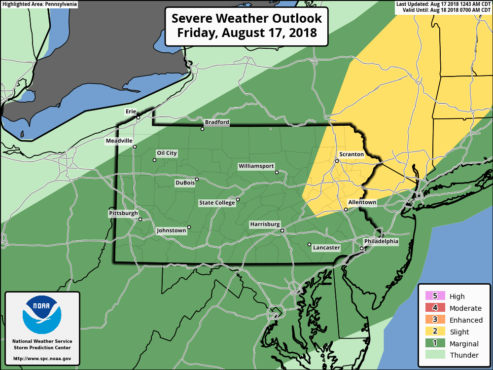
There will likely be two rounds of thunderstorms today. First round being around dinner time. Below is a look at the future radar valid for 5:00 PM which does keep the bulk of the activity in Eastern Pennsylvania: 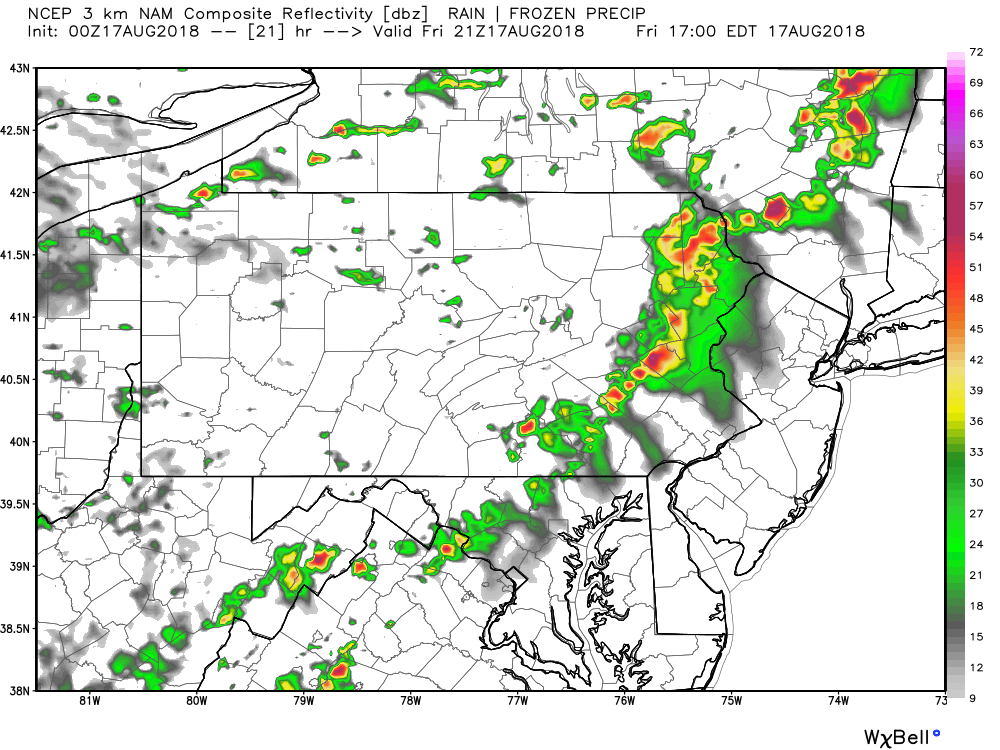
The second round will arrive later tonight likely after 9:00 PM. This round will be more widespread with more areas getting involved in the action. Below is a look at 11:00 PM tonight: 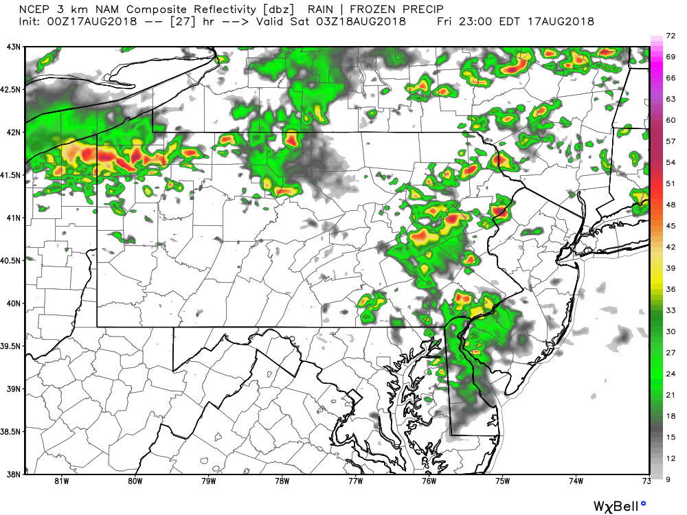
We will keep you updated with all the latest watches and warnings on our Facebook page. Have a great Friday!

You must be logged in to post a comment.