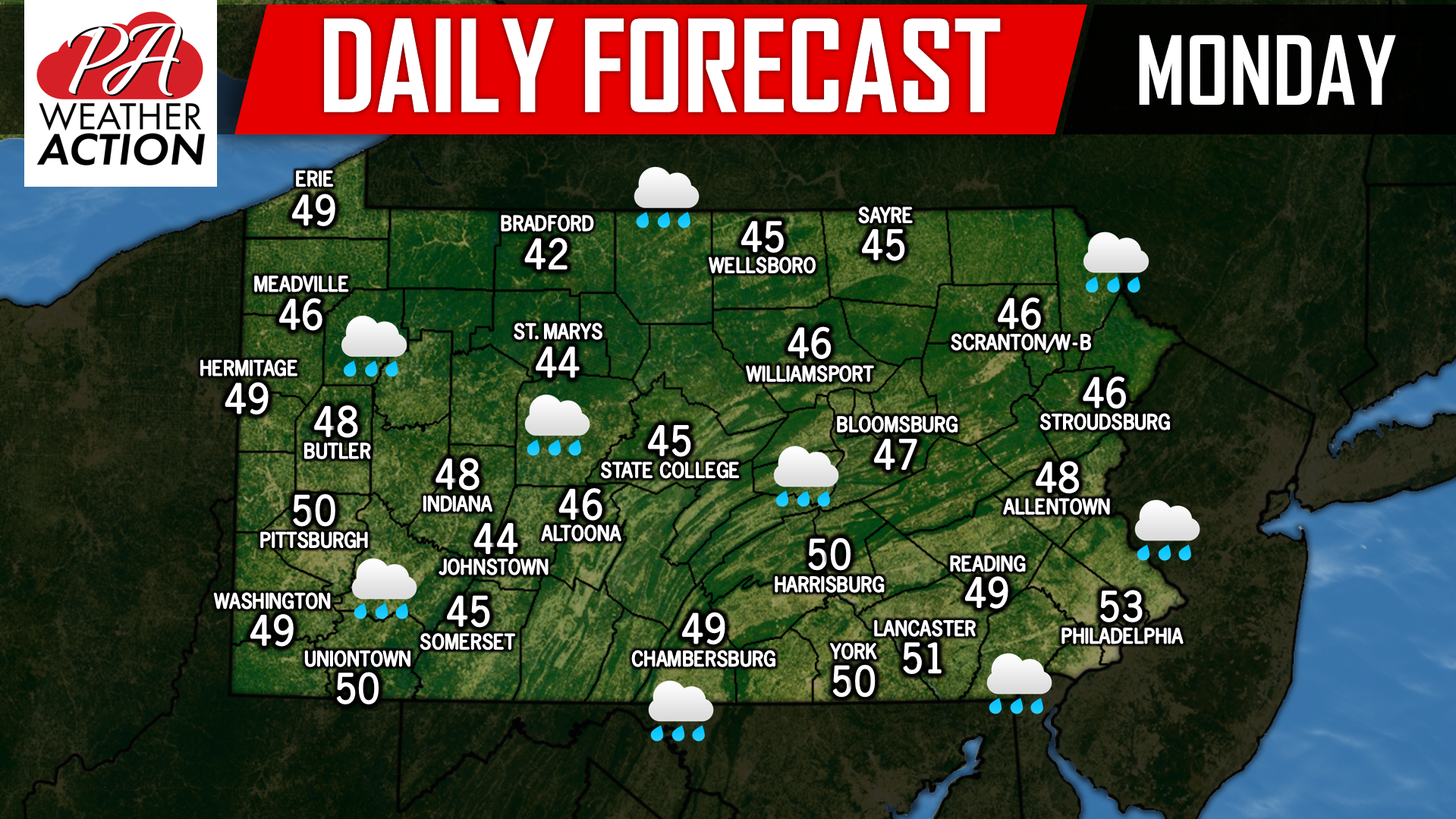
A powerful storm system will be pushing through to our northwest today, allowing for us to be on the warm side of the storm. Moderate to heavy rain will be a common occurrence today, especially across Eastern Pennsylvania. As the storm passes by to our northeast late tonight, rain showers will turn into lake effect snow showers for Western and Northern Pennsylvania which will continue all day Tuesday and into Wednesday. We will have an update on the lake effect snowfall later this morning. Have a great day! 
Posted inDaily Forecast
Daily Forecast for Monday, November 26th, 2018


You must be logged in to post a comment.