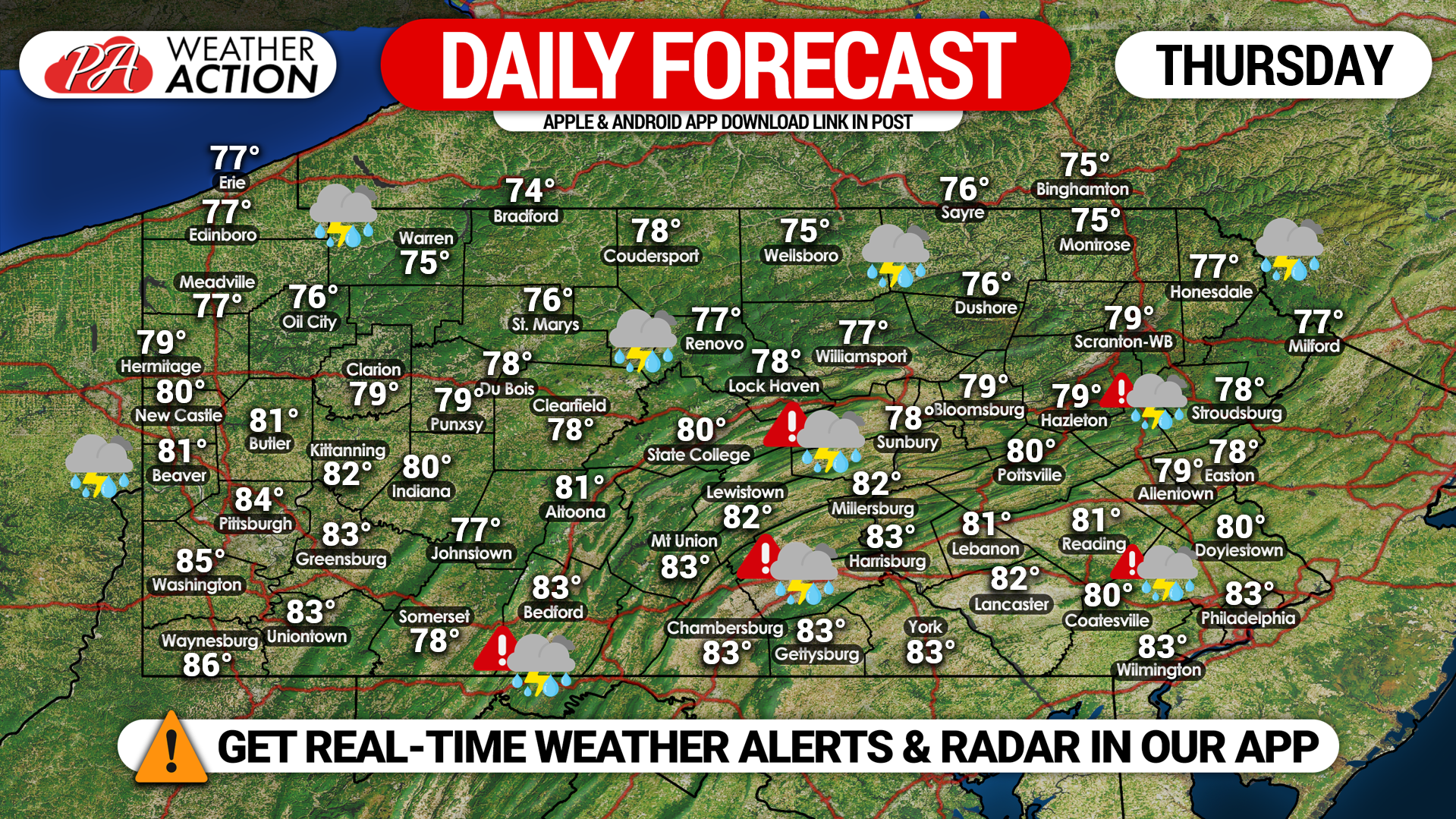
The Storm Prediction Center has placed portions of Southern and Southeastern Pennsylvania in an ENHANCED RISK (Level 3 of 5) for the potential for severe weather. Supercells will produce damaging wind gusts, large hail, frequent lightning, heavy rain, and the potential for a few isolated tornadoes. Highs will range from the 70’s across the northern half of the state to the lower 80’s across the southern half.
>> Click here to see our detailed severe weather discussion, including the timing of thunderstorms later today.


You must be logged in to post a comment.