
With a severe weather outbreak to our west across the Midwest, Pennsylvania will catch a little bit of the action. However due to timing, we expect to avoid harsh impacts.
The threat of damaging winds, hail, and an isolated tornadoes will be on the table Friday as well as Saturday in different part of the states. In this update, we will focus on Friday with more details on Saturday coming very soon.
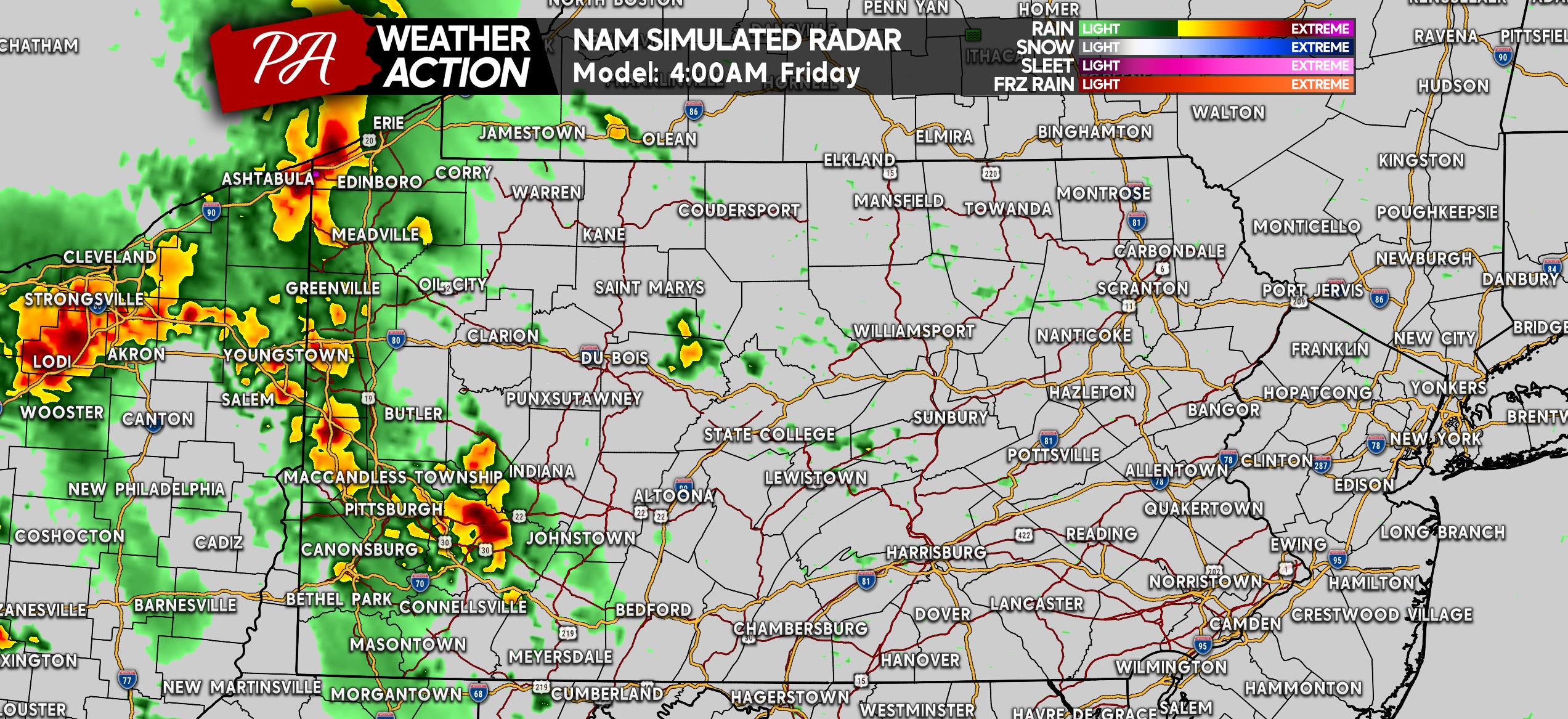
FUTURE RADAR STORM TIMING
Starting at 4 AM Friday, strong thunderstorms will be pushing in from Ohio. This is not exactly the normal timing! Having a way to receive tornado warnings isn’t a bad idea, although the chance of tornadoes is low.
Around sunrise, a cluster of thunderstorms is expected across Northwest PA. Some of those storms may be strong, but the storms still coming in from Eastern Ohio towards Southwest PA have a higher probability of being severe.
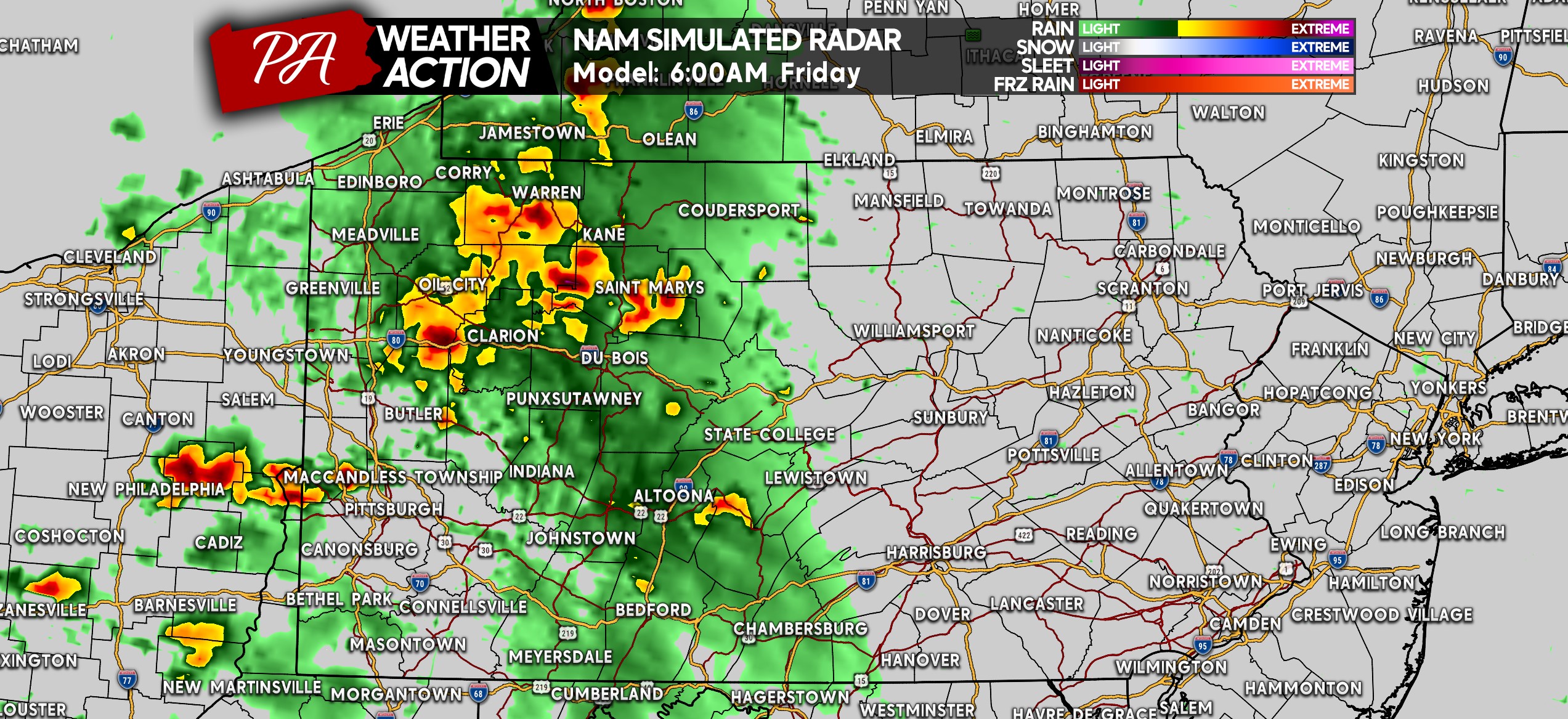
As we move through the Friday morning commute, the Pittsburgh Metro may be dealing with some bad weather. By 8 AM, the Laurel Highlands are modeled to be next in line for this batch of strong to severe storms.
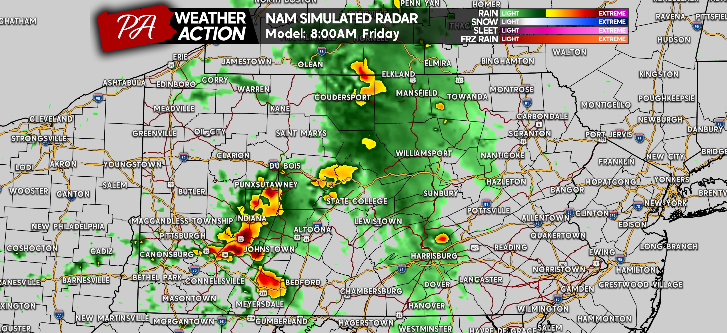
Given the impressive instability Friday morning, these storms may push across the mountains and into South Central PA by around 10 AM. Very gusty winds will be the primary concern at this point.
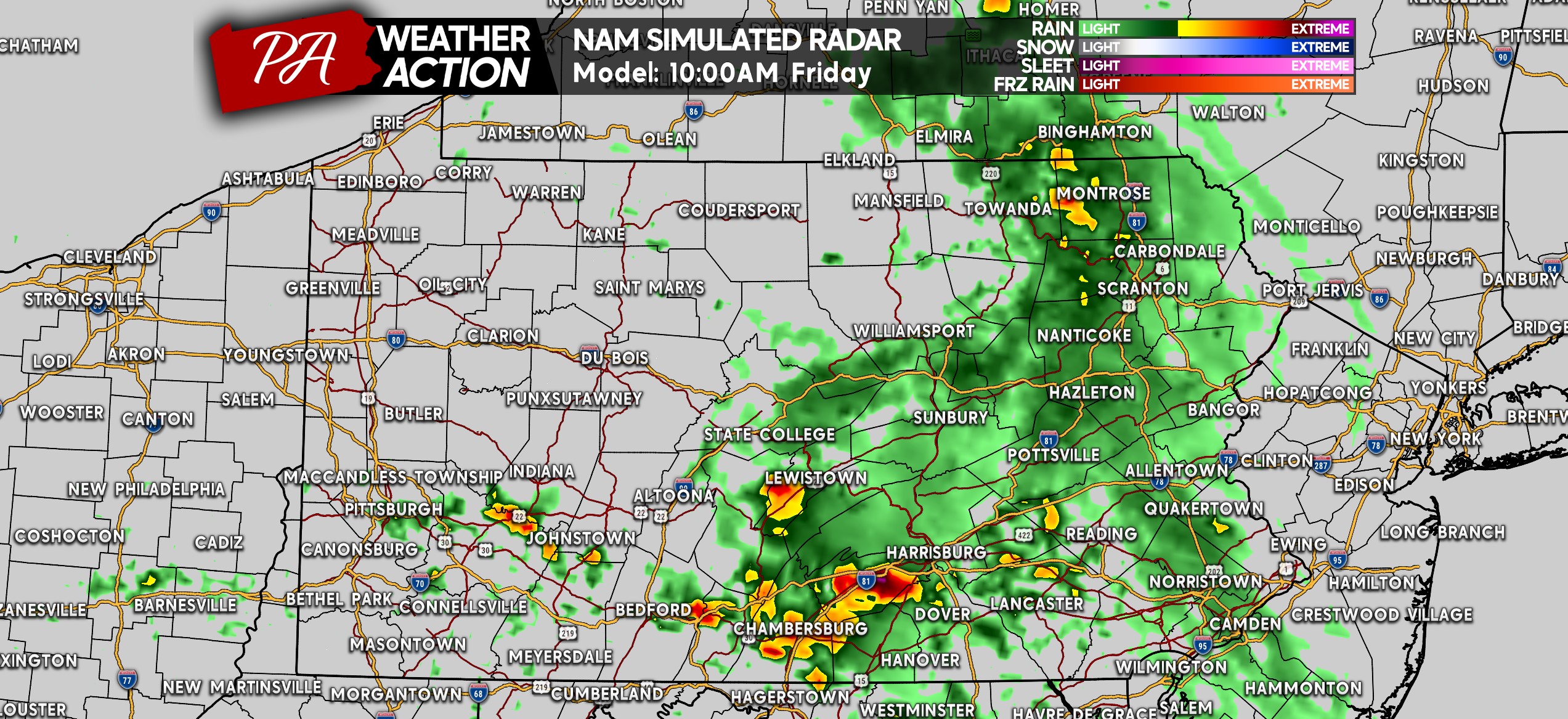
And as these storms begin to tap into greater instability, they may push all the way through Southeast PA by lunchtime Friday. Such an abnormally-timed event for sure!
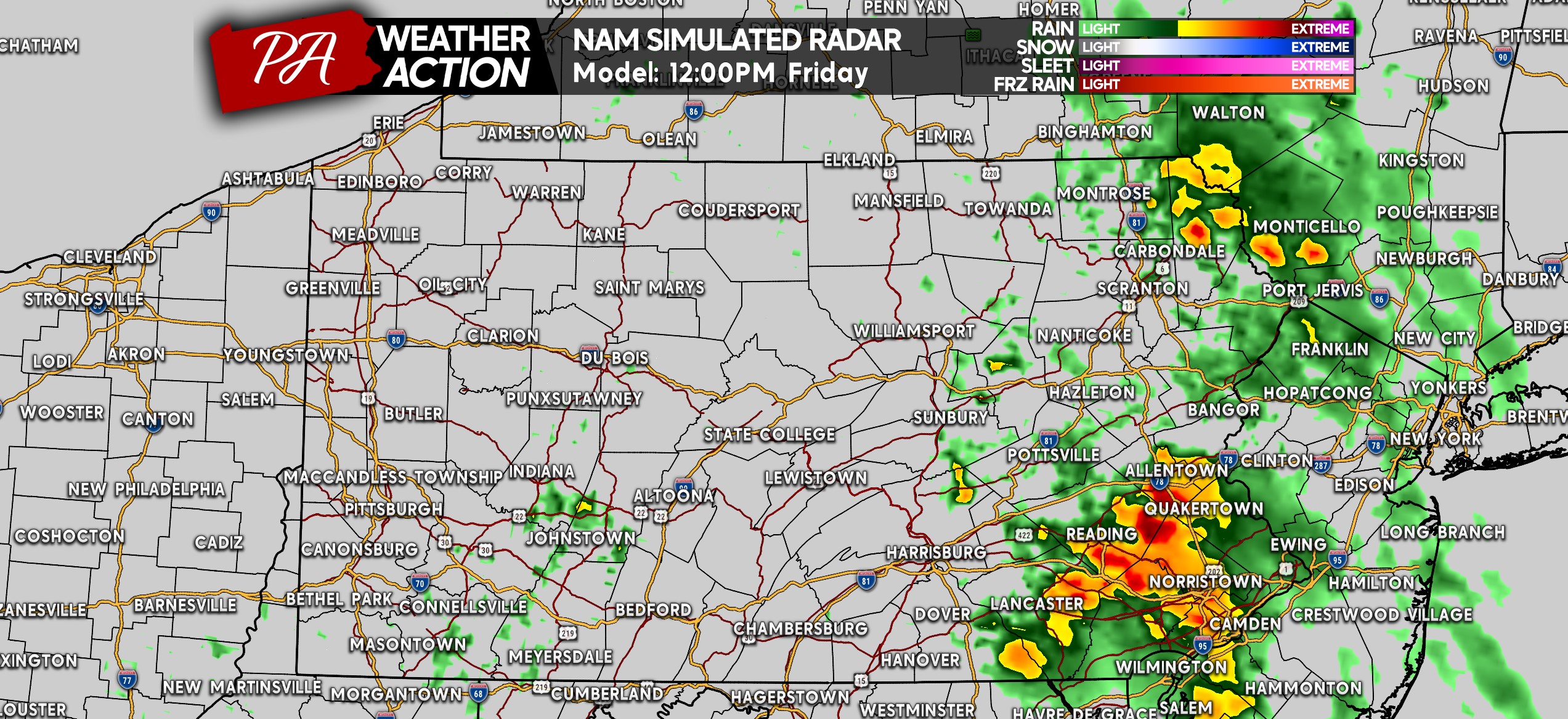
The rest of Friday should be mainly dry, with some isolated thunderstorms possible. Those may be strong, but again very few and far between.
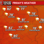
FRIDAY’S SEVERE THUNDERSTORM THREAT FORECAST

Area A: Scattered strong to severe thunderstorms are possible, with damaging winds as the primary concern. It’s always very difficult to predict the extent of power outages that may occur, but they will be a potential.
We don’t expect a repeat of what has happened recently in terms of widespread outages. Isolated hail and a very isolated tornado also possible.
Area B: Isolated strong to severe thunderstorms are possible. Many places in this area will see just heavy showers, but Southeast PA is the area to watch if the cluster of storms makes it all the way across Southern PA.
You must be logged in to post a comment.