
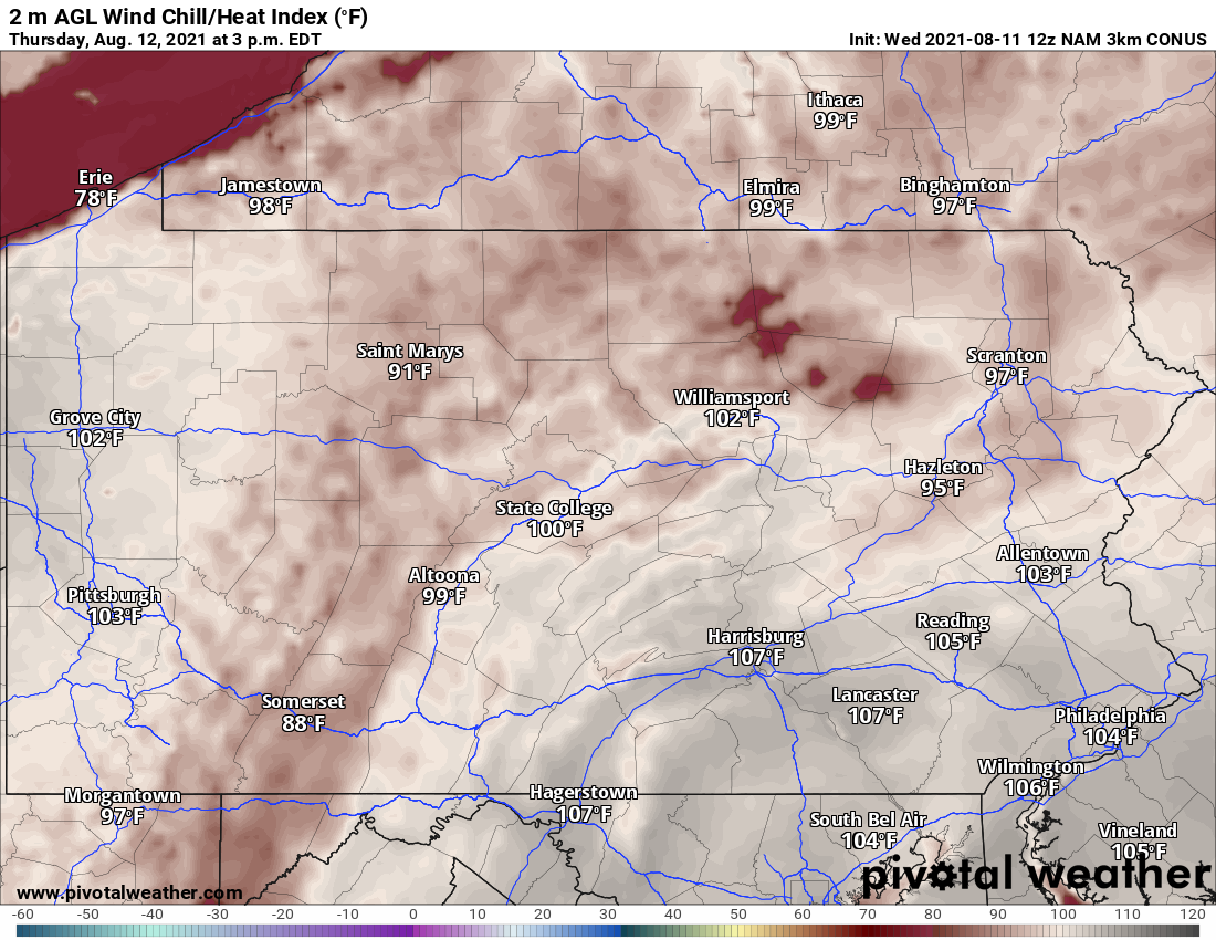
Summer is not easing off the breaks whatsoever this week, with excessive heat combined with a severe thunderstorm risk nearly everyday in much of the state. Heat indexes will top out between 100-110F in much of the eastern half of the state lowlands, and 90-100F in the highlands. Below are the expected heat indexes Thursday afternoon.
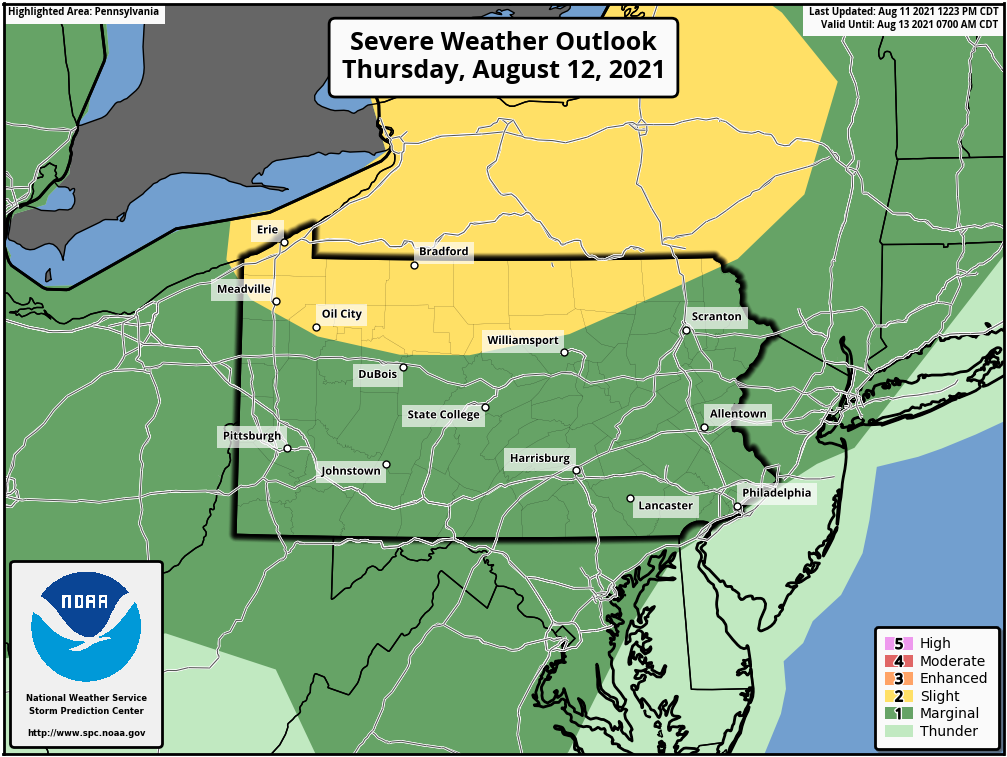
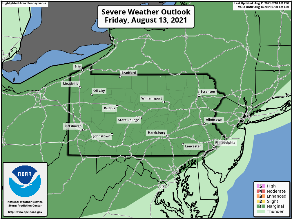
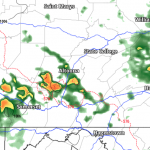
Along with the heat, we have some storms to deal with as well. Northern PA looks to be the focus Thursday and Friday evening. Below are the SPC outlooks for Thursday and Friday.
Thursday:
Friday:
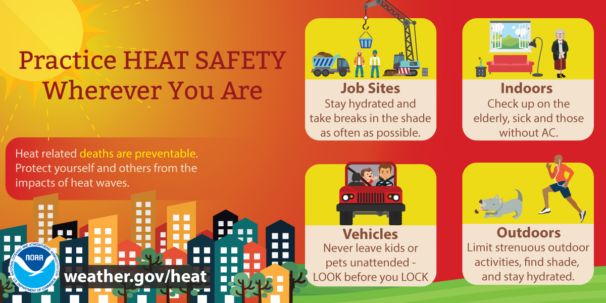
A cold front will slide through Friday night and Saturday, bringing some serious relief by Sunday. Here are some heat tips to use for the rest of the week.
You must be logged in to post a comment.