
Tropical Depression Fred is already producing heavy rain across the southern Appalachians as well as an enhanced tornado risk in the Carolinas, and all those impacts will quickly be making their way up into our region by Wednesday. Moderate to heavy rain will persist through much of Wednesday across the Alleghanies and Appalachians, and a few spin up tornadoes are possible in south-central Pennsylvania.
T.D. FRED TIMING
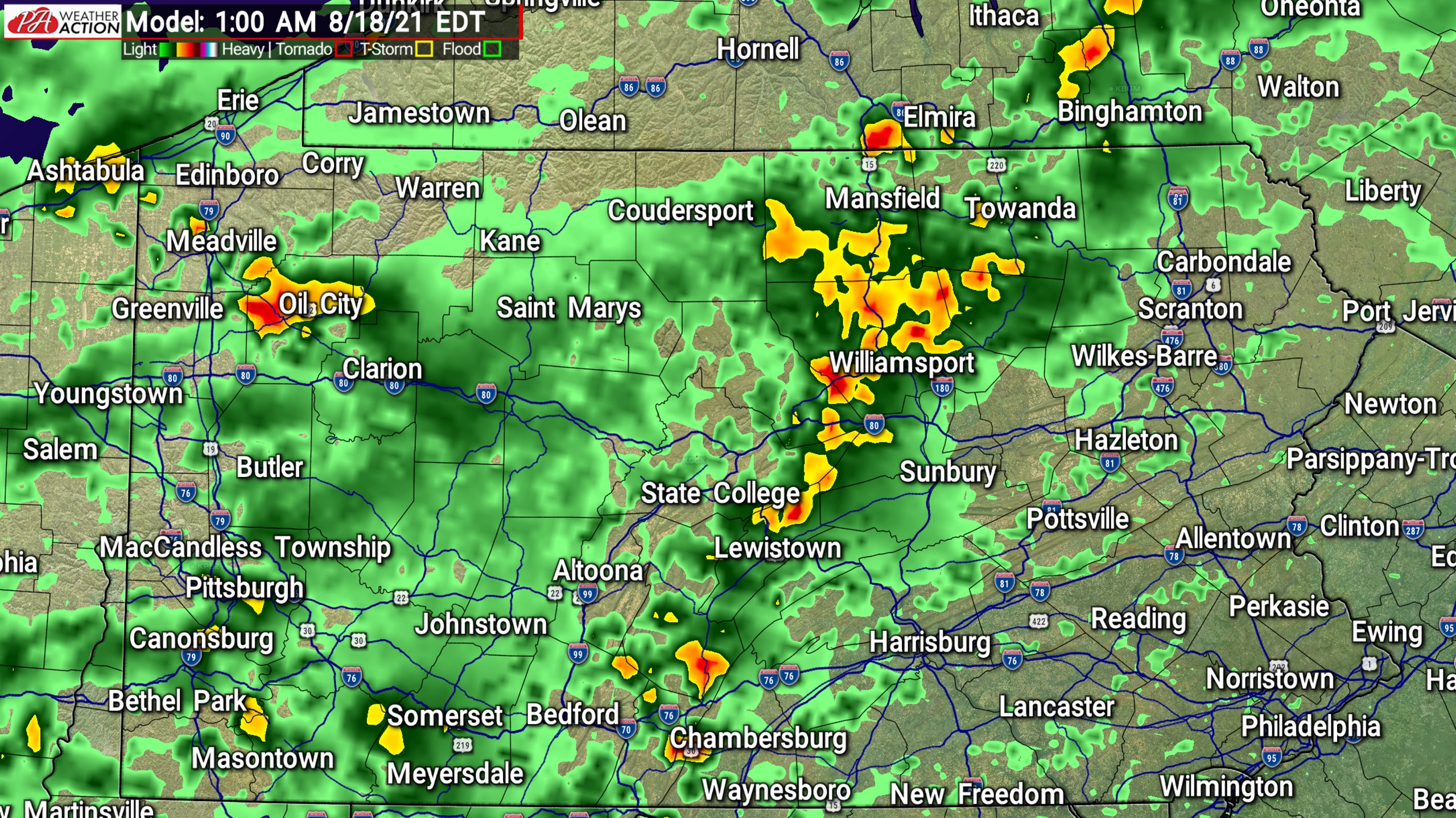
Outer bands of Fred will cover most of the western half of PA by early Wednesday morning, beginning the flash flood threat. Below is future radar for 1:00 AM Wednesday.
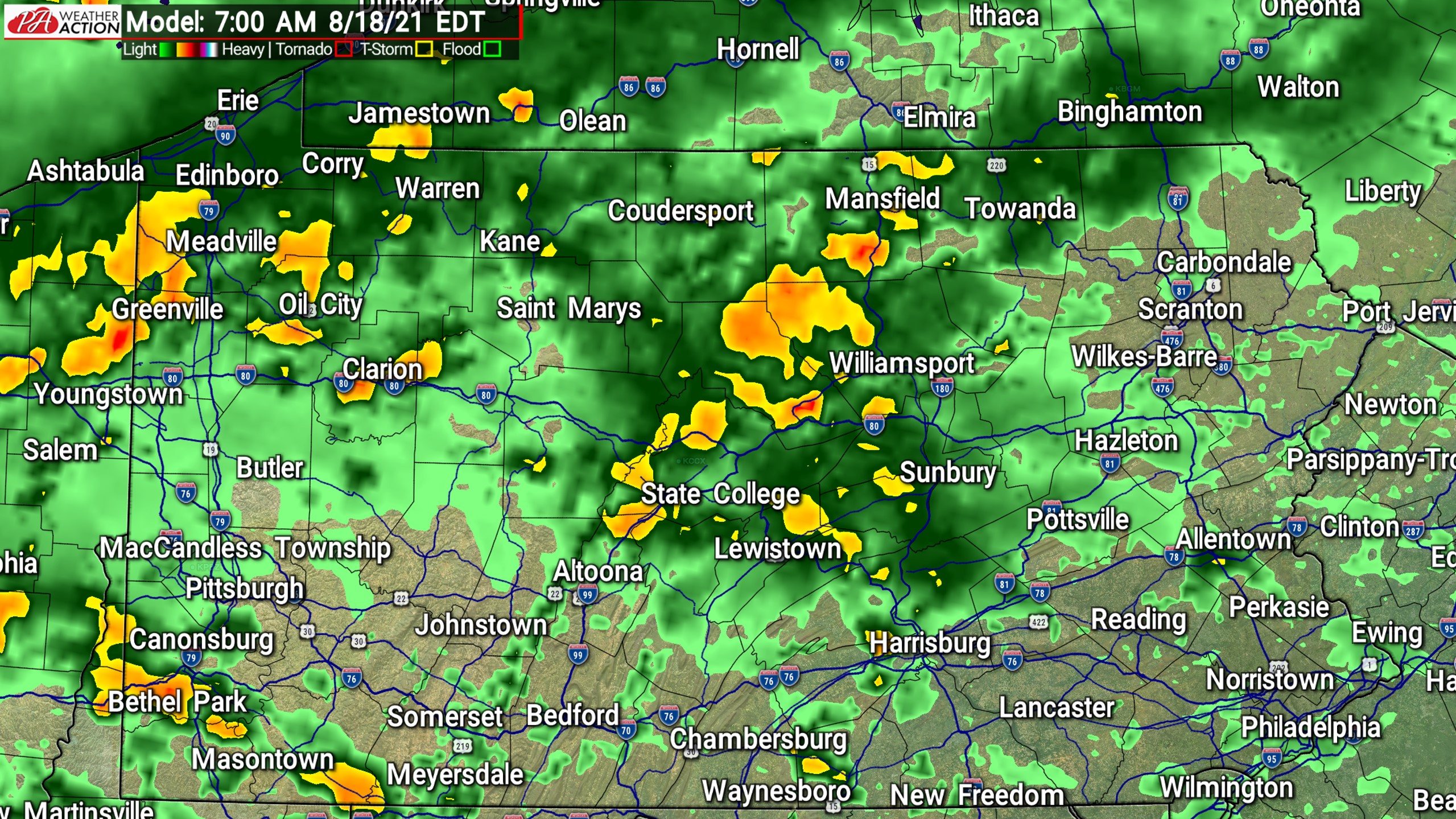
We do not expect the Wednesday morning commute to be any worse than the average rainy morning, but isolated urban areas with poor drainage in western PA may see some ponding on the roads. Here is future radar for 7:00 AM Wednesday.
Early Wednesday afternoon is when the bulk of the rain will fall in the western half of PA. Moderate to locally heavy rainfall bands will cover most areas, and this is when the flash flood risk will be at its highest point in areas like Pittsburgh and Johnstown-Altoona. Below is future radar for 1:00 PM Wednesday.

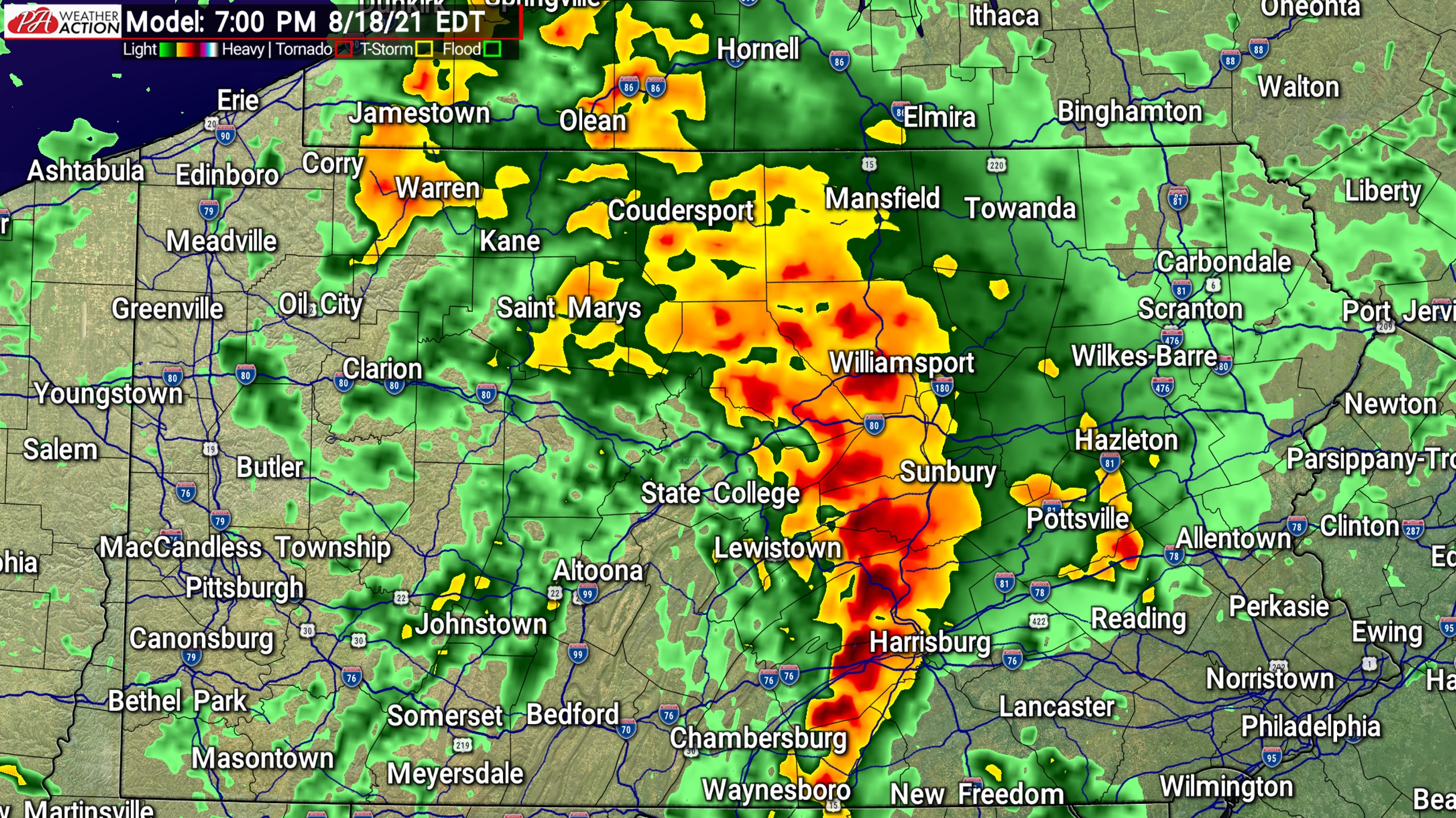
By Wednesday evening, heaviest rain bands will slide into central PA. This period is when the flash flood risk will be highest in areas such as State College and Williamsport. A line of thunderstorms is likely to slide across south-central PA Wednesday evening as well. Below is future radar for 7:00 PM Wednesday.
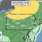
Based on the abundance of tornado warnings across the Carolinas right now, it would not surprise me if the SPC issues a slight risk for parts of PA Wednesday. The Hi-Res NAM is suggesting that south-central PA will be the focus for any short-lived spin-up tornadoes. Below is an animation of where and when the tornado risk will be highest Wednesday evening. Higher numbers = greater risk.

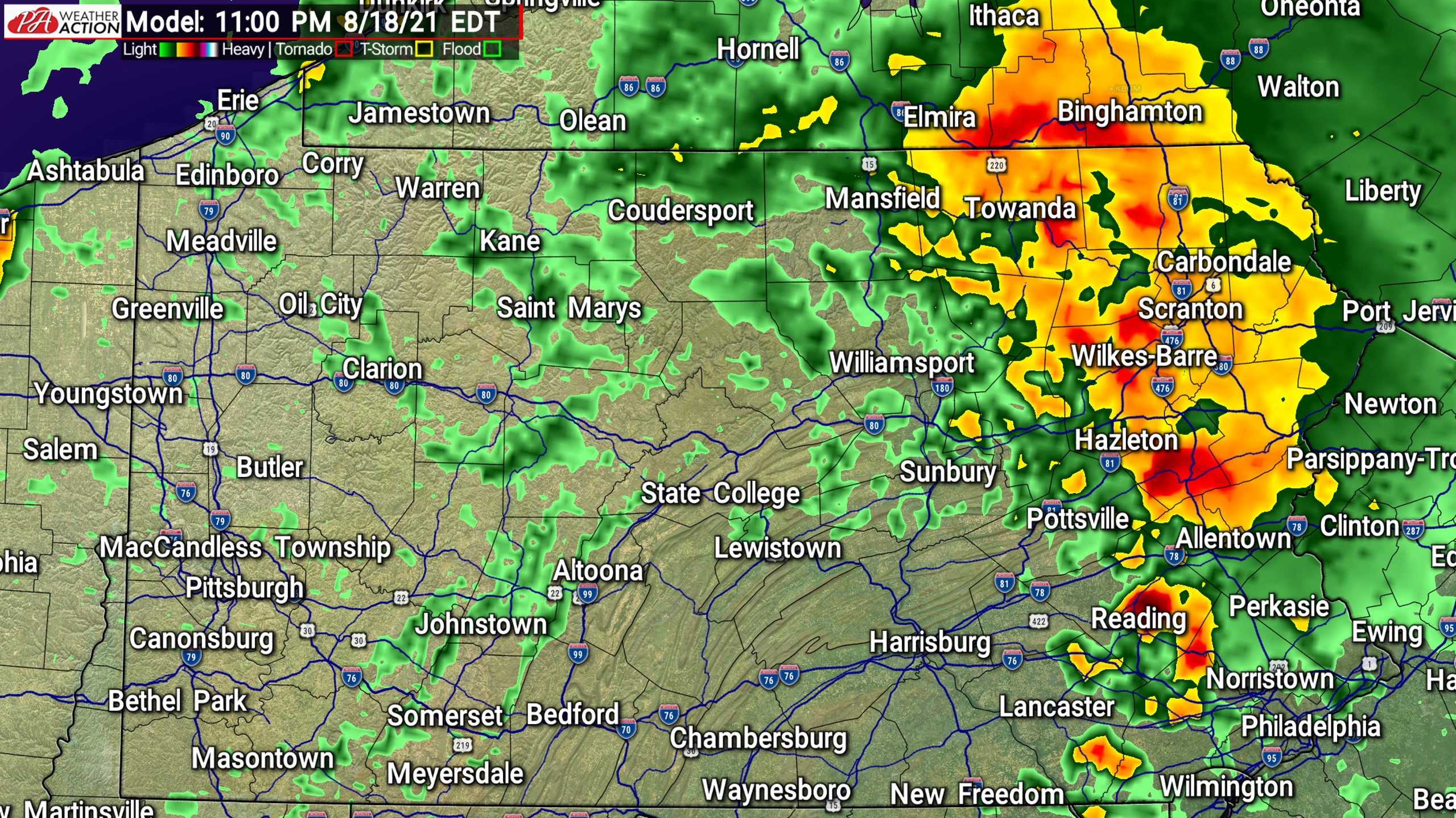
Finally, heavy rain bands will reach the Poconos and Lehigh Valley by late Wednesday evening. This is when the flash flood risk will be highest NEPA. Below is future radar for 11:00 PM Wednesday.
T.D. FRED RAINFALL OUTLOOK THRU THURSDAY AM

Area A: Rainfall amounts of 3 – 4″ expected. Flash flooding will be possible.
Area B: Rainfall amounts of 2 – 3″ anticipated. Flash flooding possible mainly in locations with poor drainage.
Area C: Rainfall amounts of 1 – 2″ expected. Flash flooding possible in locations with poor drainage.
Area D: Rainfall amounts of .50 – 1″ anticipated.
Area E: Rainfall amounts of .25 – .50″ expected.
Stay tuned for live radar and updates on our FB page as Tropical Depression Fred moves through PA Wednesday.
Be sure to share this forecast with family and friends in areas where flooding is possible!

You must be logged in to post a comment.